Serazereux Communal Cemetery
- Country France
- Total identified casualties 8 Find these casualties
- Region Eure-et-Loir
- Identified casualties from Second World War
- GPS Coordinates Latitude: 48.59745, Longitude: 1.44053
Location information
The village and commune of Serazereux is 20 kilometres north-north-west of Chartres and about 15 kilometres south-south-east of Dreux. The cemetery is east of the village on the road to the neighbouring village of Ormoy.
History information
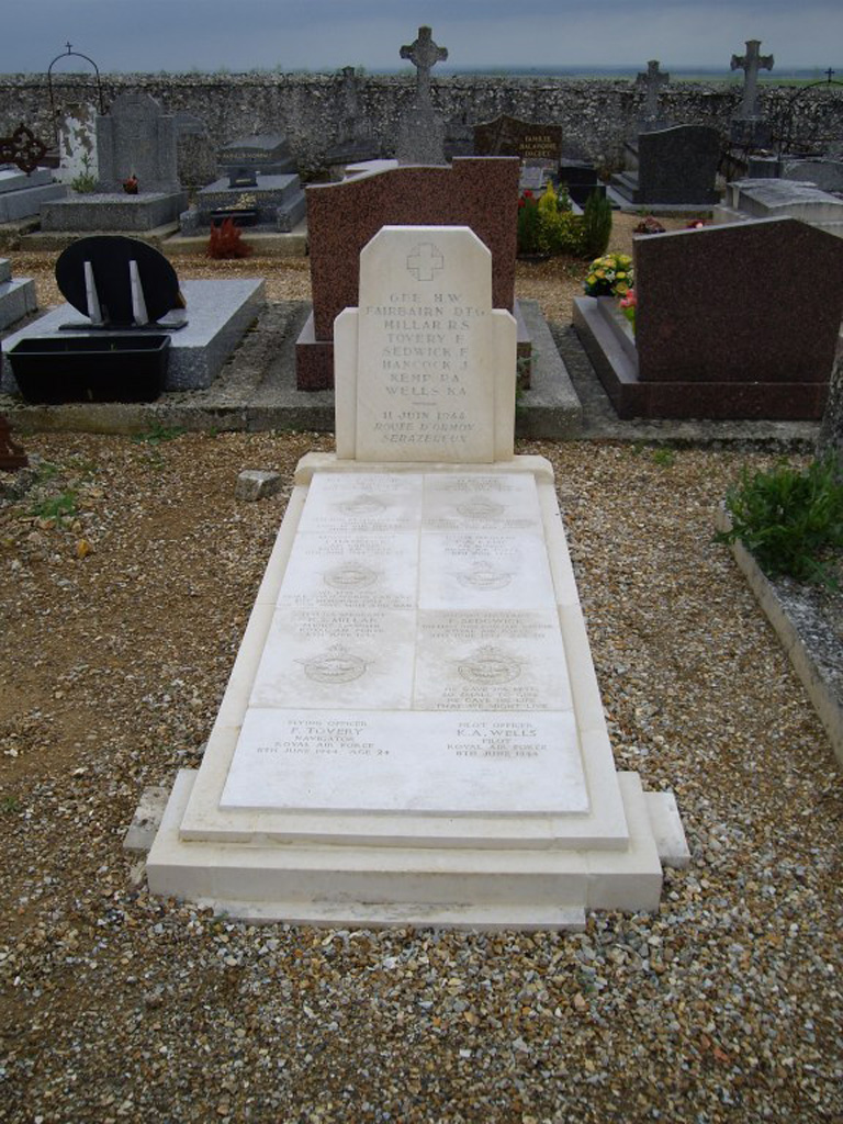
In the south-western part, near the western boundary, is the collective grave of eight airmen of the Royal Air Force.