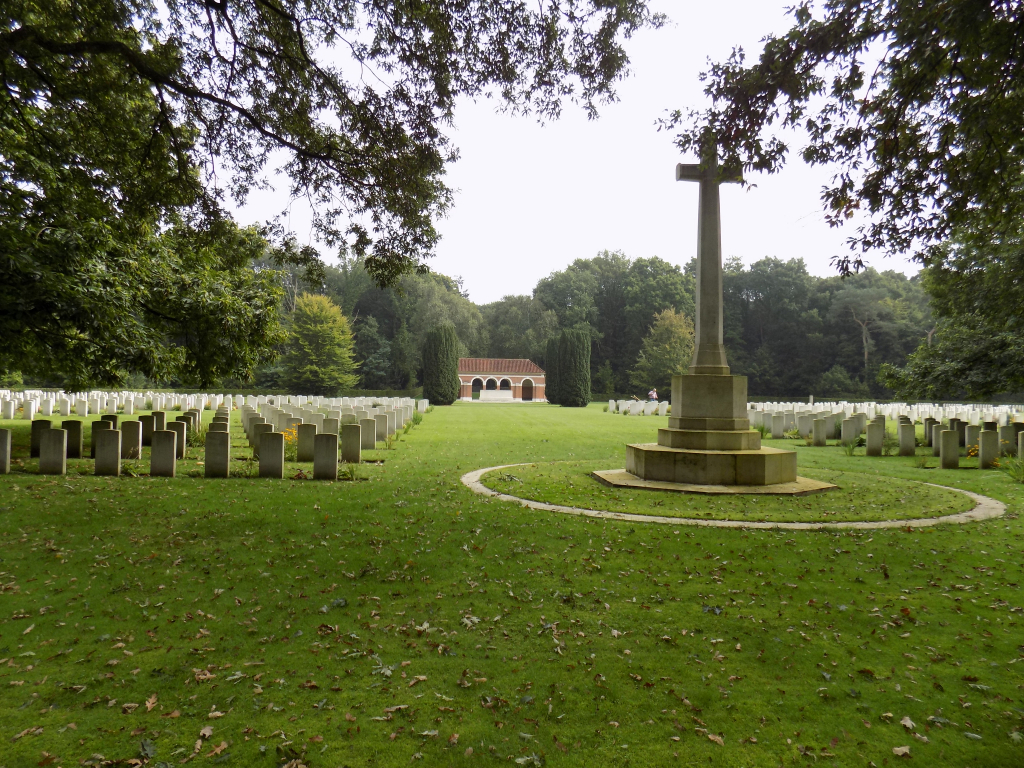
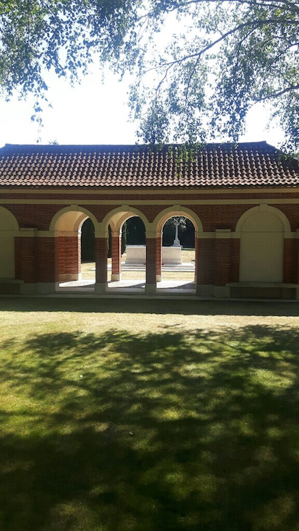
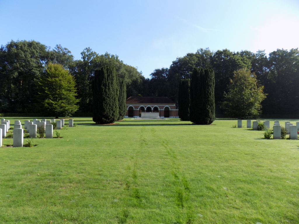
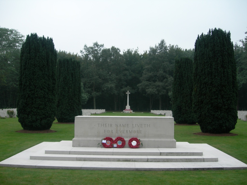
Jonkerbos War Cemetery
- Country Netherlands
- Total identified casualties 1548 Find these casualties
- Region Gelderland
- Identified casualties from Second World War
- GPS Coordinates Latitude: 51.82242, Longitude: 5.83048

Location information
The city of Nijmegen lies to the south of Arnhem in the east of the Netherlands. From the A50 motorway ARNHEM to NIJMEGEN follow the signs for A73 KÖLN / NIJMEGEN / VENLO. Follow the signs for NIJMEGEN CENTRUM. Continue along NEERBOSSCHEWEG following the signs for MALDEN / MOOK for approx 2.5kms. Turn left (CWGC sign) following the signs for DE GOFFERT, onto BURGEMEESTER DALESLAAN. The cemetery is approx 200m on the right The cemetery address is:- Burgemeester Daleslaan 35 6532 Nijmegen Netherlands GPS Location is:- N 51 49 21 E 05 49 50
Visiting information
Wheelchair access possible via main entrance. For further information regarding wheelchair access, please contact our Enquiries Section on 01628 507200.
History information
The Netherlands fell to the Germans in May 1940 and was not re-entered by Allied forces until September 1944.
Nijmegen was a front line town from 17 September 1944 until February 1945. An initial temporary cemetery was created by No. 3 Casualty Clearing station, in a wooded area known as Jonkers Bosch, from which it took its name. The war cemetery was established, after the war, nearby.
Jonkerbos War Cemetery contains 1,629 Commonwealth burials of the Second World War, 99 of them unidentified, and 13 war graves of other nationalities.