Longstanton (All Saints) Churchyard
- Country United Kingdom
- Total identified casualties 10 Find these casualties
- Region Cambridgeshire
- Identified casualties from Second World War
- GPS Coordinates Latitude: 52.27807, Longitude: 0.04851
Location information
Longstanton is a village 7 miles north-west of Cambridge, north of the A14 to Huntingdon. The churchyard is in the centre of the village at the junction of the High Street and School Lane.
History information
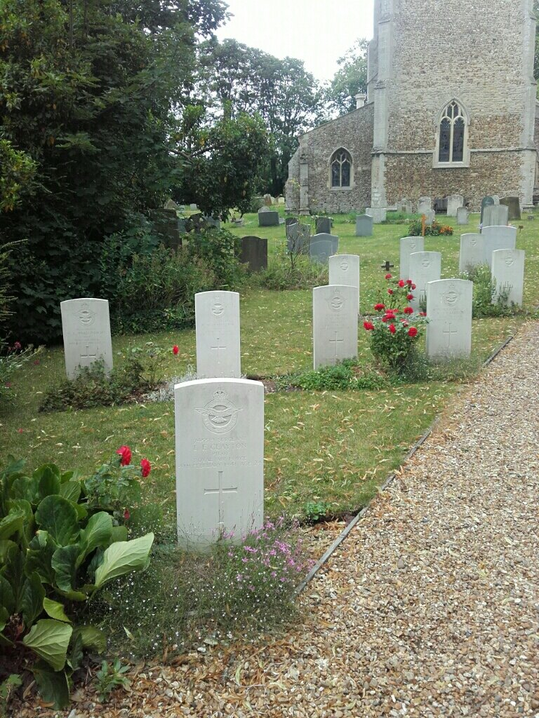
The churchyard contains the graves of 10 casualties from the 1939-45 war, all of whom served with the air forces of the Commonwealth. They are grouped together in a service plot in the north-west corner.