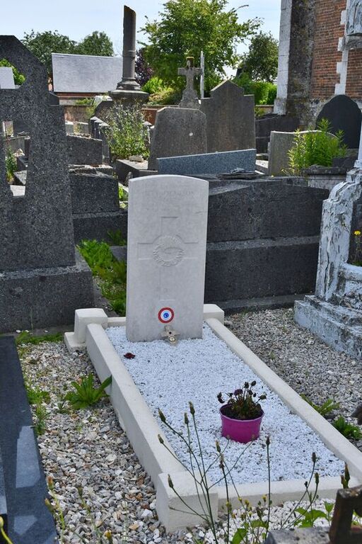
Auzebosc Churchyard
- Country France
- Total identified casualties 1 Find these casualties
- Region Seine-Maritime
- Identified casualties from Second World War
- GPS Coordinates Latitude: 49.59564, Longitude: 0.72784
Location information
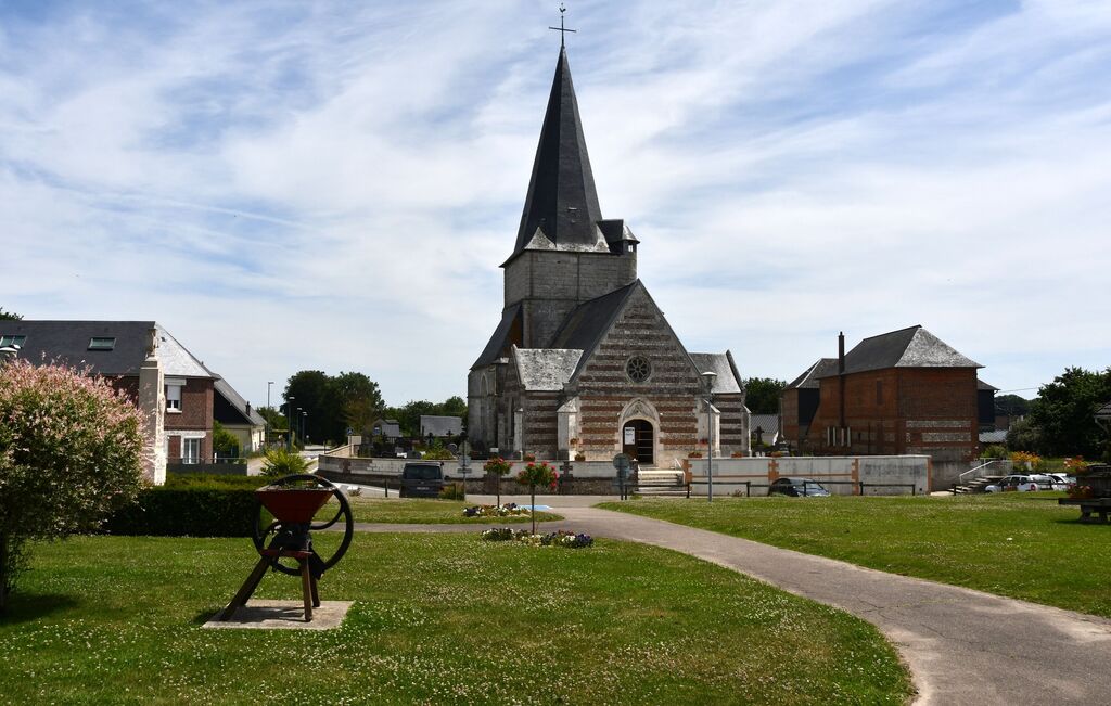
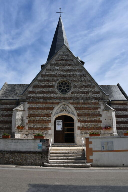
Auzebosc is a village and commune some 20 miles (32 kilometres) north-west of Rouen, and 2 miles (3 kilometres) south-east of Yvetot, which is a small town on the main Rouen-Le Havre road (N.13 bis). The village is about 1,000 yards (1 kilometre) west of the D.131 road from Yvetot to Caudebec.
History information
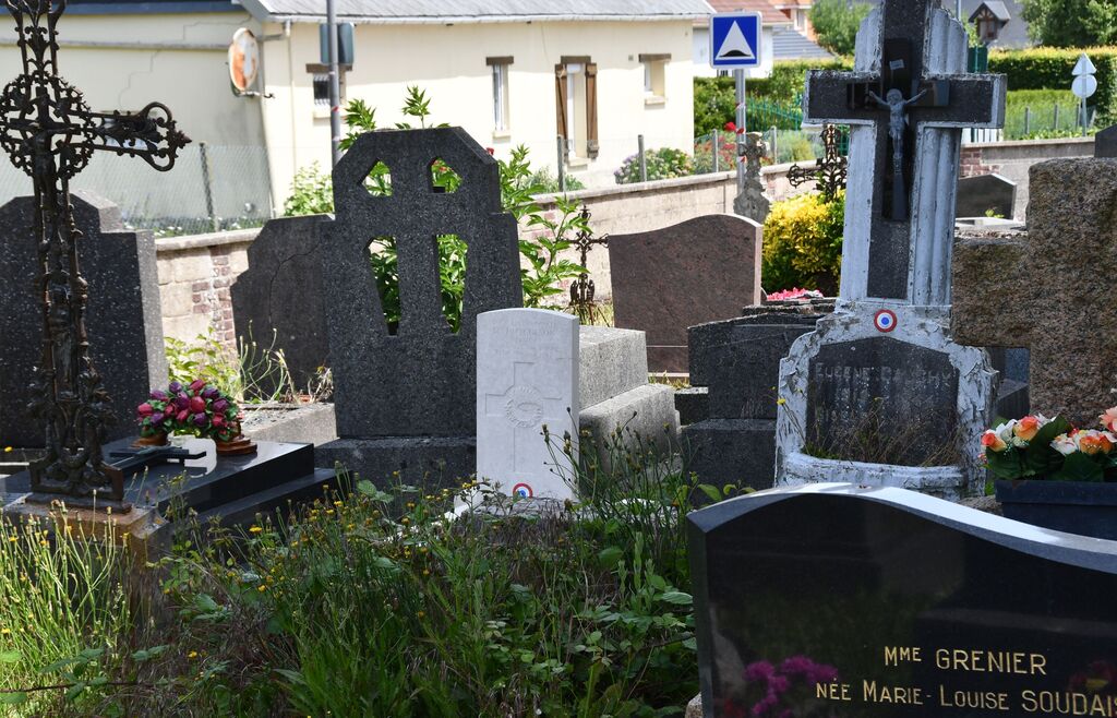
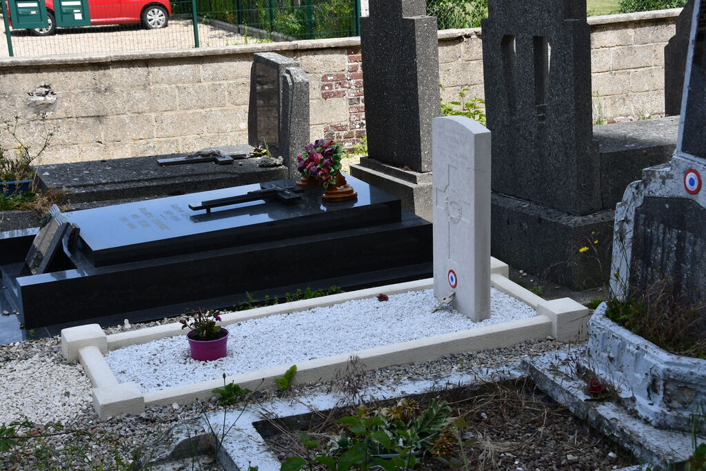
In the churchyard, north of the church, is the grave of a New Zealand airman.