Pancy-Courtecon Communal Cemetery
- Country France
- Total identified casualties 1 Find these casualties
- Region Aisne
- Identified casualties from Second World War
- GPS Coordinates Latitude: 49.47273, Longitude: 3.65417
Location information
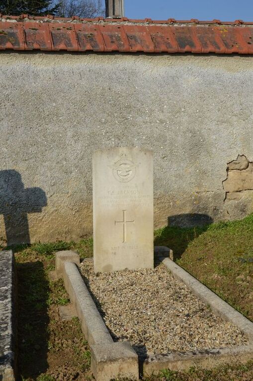
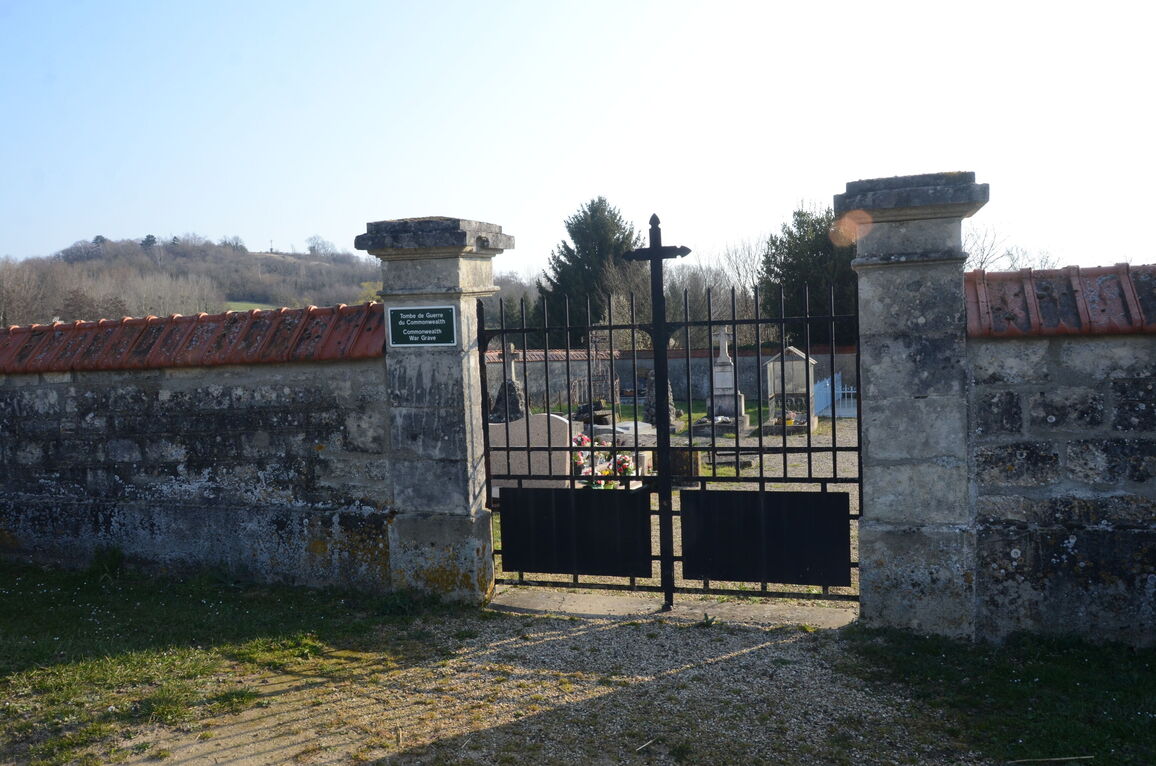
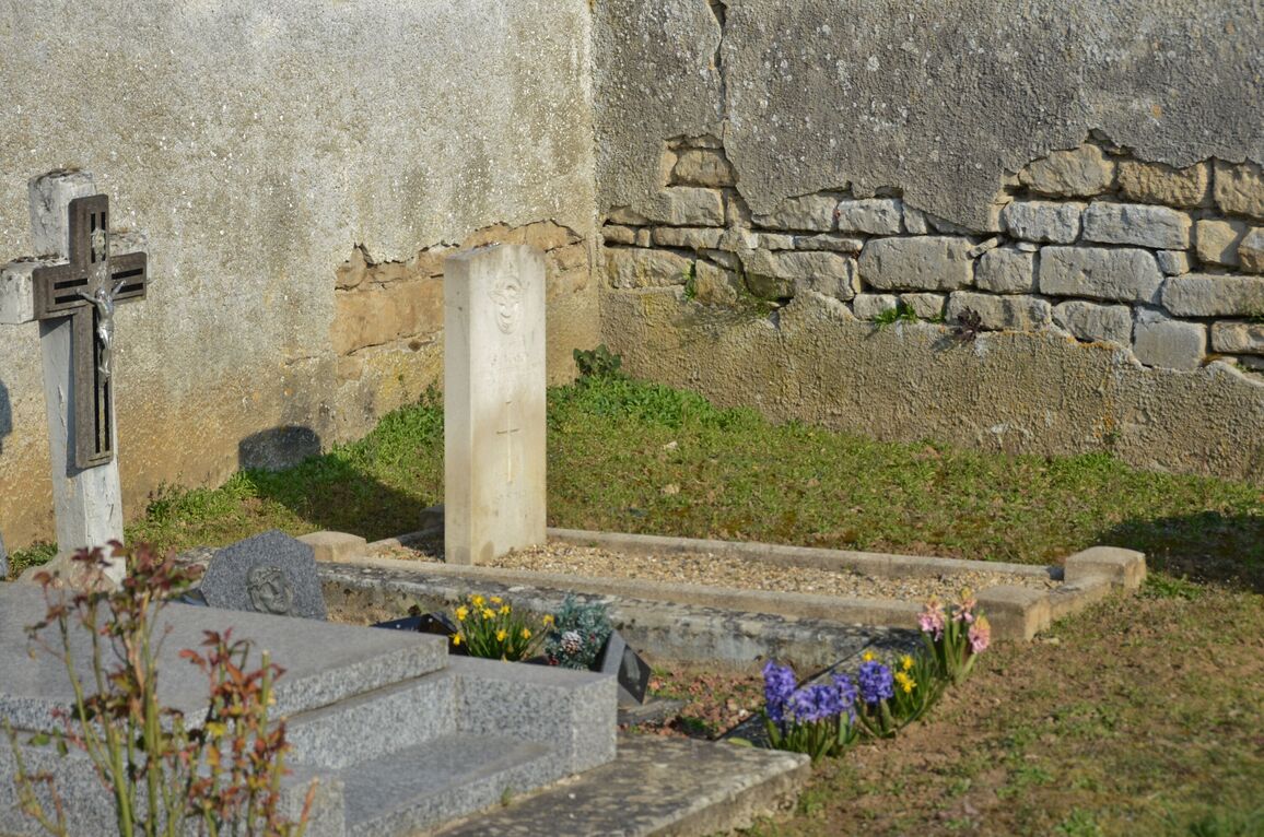
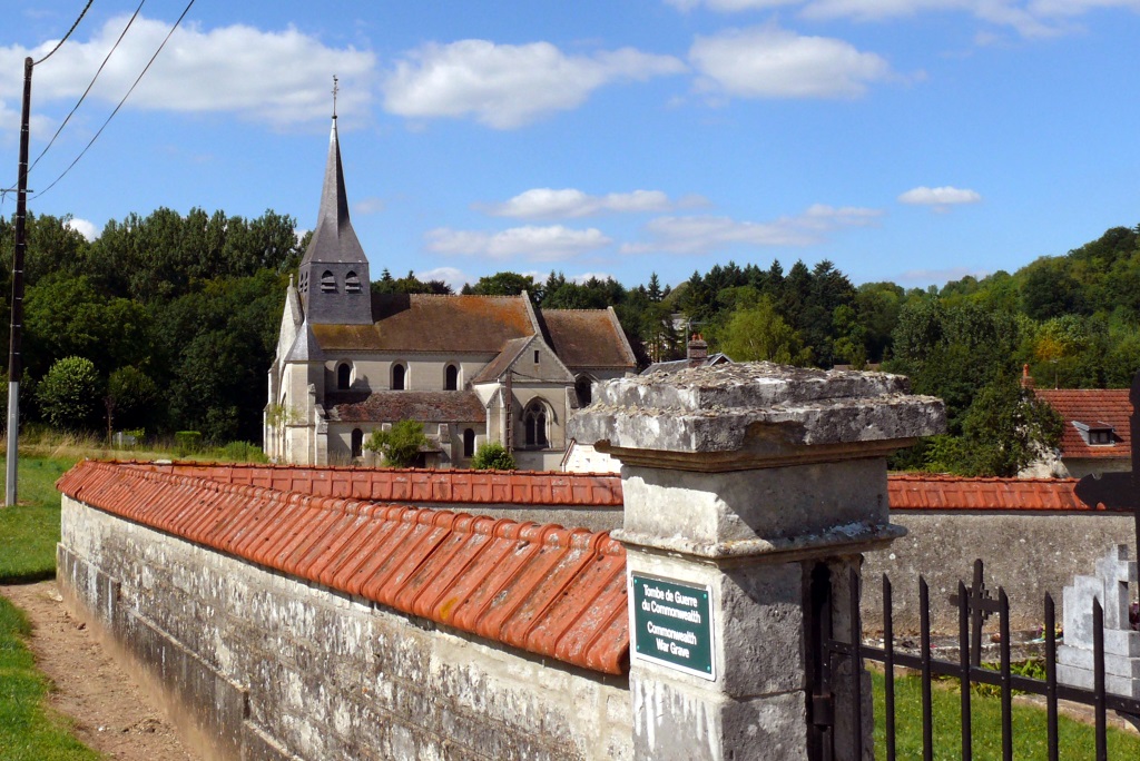
Pancy-Courtecon is a village and commune about 8 miles (13 kilometres) south of Laon and half a mile south west of the main road (N.367) to Bourg-et-Comin and Fismes (Marne). The nearest railway station is at Laon, which has good road and rail connections with Paris and the towns in northern France, and where taxis are available. The communal cemetery is in a by-road running south from the main road, and is about 200 yards south of the church. The British grave is in the north-western corner of the cemetery.