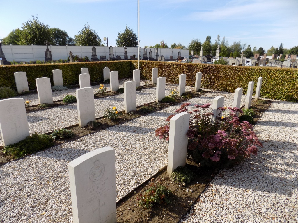
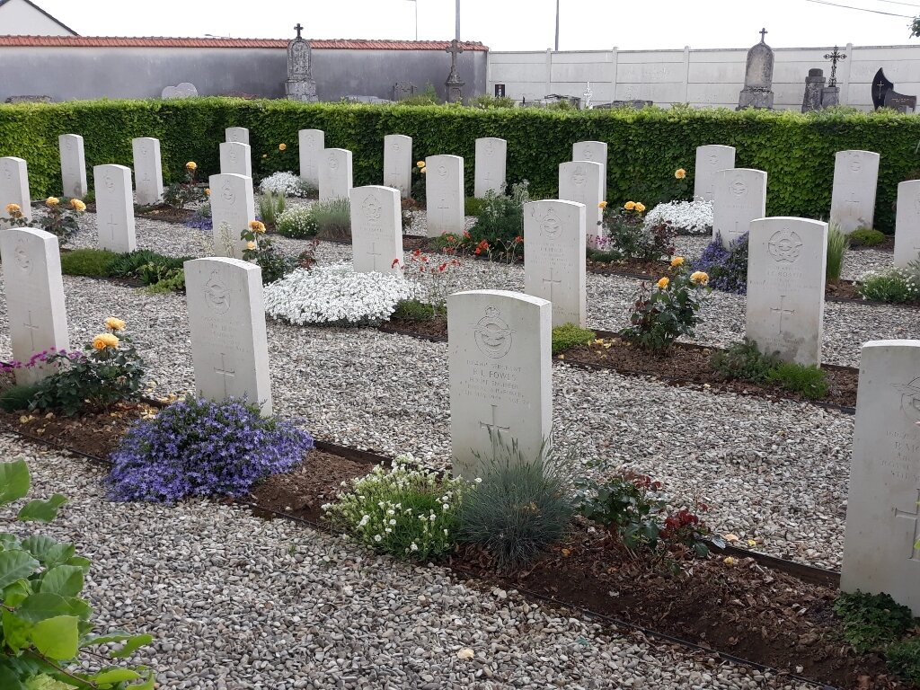
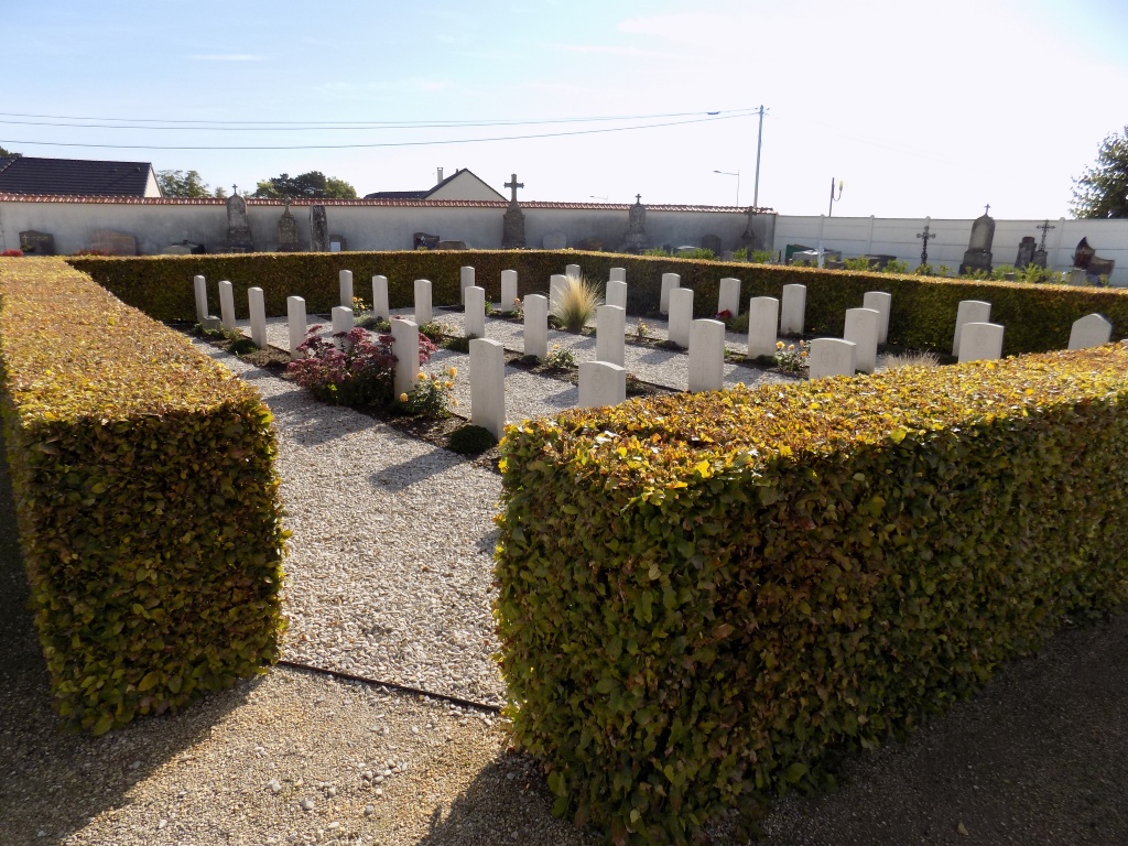
St. Doulchard Communal Cemetery
- Country France
- Total identified casualties 35 Find these casualties
- Region Cher
- Identified casualties from Second World War
- GPS Coordinates Latitude: 47.10173, Longitude: 2.35847
Location information
St. Doulchard is a village and commune about 2 kilometres north-west of Bourges. The Cemetery lies on the southern side of the village on the road to Les Rivages. From Orleans, take the motorway A71 to Bourges and exit at St Doulchard. Turn left into the village centre and the Communal Cemetery will be found at the end of the road on the right hand side. The war graves will be found on the south west side of the entrance.
History information
There are 34 Commonwealth burials of the 1939-45 war here and 1 Polish Foreign National burial.