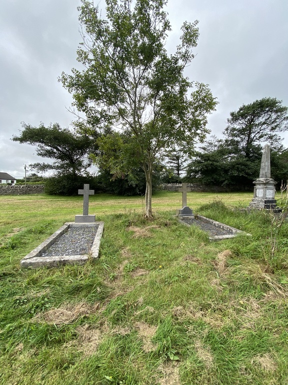
Killard Church Of Ireland Churchyard
- Country Ireland, Republic of
- Total identified casualties 2 Find these casualties
- Region County Clare
- Identified casualties from Second World War
- GPS Coordinates Latitude: 52.727345, Longitude: -9.548619
Location information
The churchyard is located to the west of Doonbeg on the N67. The church was demolished in 1964.
History information
There are 2 Commonwealth burials of the 1939-1945 war here.