Trealaw Cemetery
- Country United Kingdom
- Total identified casualties 160 Find these casualties
- Region Glamorganshire
- Identified casualties from First & Second World War
- GPS Coordinates Latitude: 51.61768, Longitude: -3.42793
Location information
Rhondda, formerly known as Ystradyfodwg, is seven miles north-west of Pontypridd, where the river Rhondda, flowing through the Rhondda Valley, meets the river Taff. It was a coal-mining district in a heavily industrialised area, and during the early part of the 1939-1945 War was heavily raided by enemy aircraft. Trealaw Cemetery, belonging to the Rhondda Urban District Council, is on the road from Porth to Treherbert.
History information
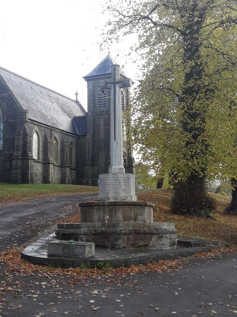
This cemetery was opened in 1881 and contains war graves of both world wars. The burials of the 1914-1918 War are scattered in various parts of this large cemetery, and shortly after the First World War a Cross of Sacrifice was erected at the cemetery entrance.
The service men and women who died during the 1939-1945 War and were buried here also lie scattered throughout the cemetery.
There are now nearly 70, 1914-1918 and almost 90, 1939-1945 war casualties commemorated in this site.