Merksplas Communal Cemetery
- Country Belgium
- Total identified casualties 1 Find these casualties
- Region Antwerpen
- Identified casualties from Second World War
- GPS Coordinates Latitude: 51.36101, Longitude: 4.86357
Location information
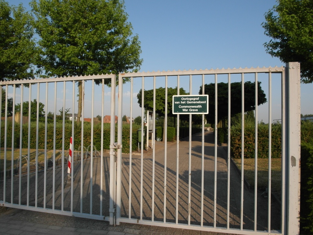
The village of Merksplas is located north-east of the town of Turnhout on the N124. From Turnhout take the N124 direction Merksplas and follow into the town to the 1st crossroads Turn right here on the N132 direction Weelde,this road is called Leopoldstraat. Follow this road through the village,past the church which is on the right and the cemetery is on the left just past the church in Kerkstraat.The grave is located towards the rear of the cemetery close crucifix. Walk along the central path from the entrance to the crucifix then take the path to the right. The grave is the first on the left of this path.
History information
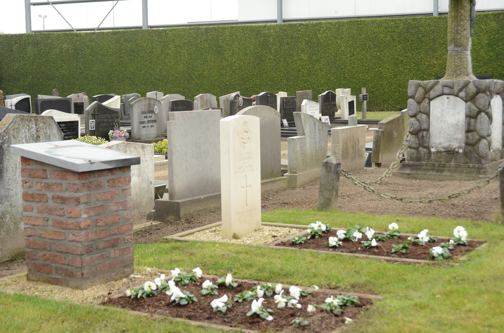
The British Expeditionary Force was involved in the later stages of the defence of Belgium following the German invasion in May 1940, and suffered many casualties in covering the withdrawal to Dunkirk. Commonwealth forces did not return until September 1944, but in the intervening years, many airmen were shot down or crashed in raids on strategic objectives in Belgium, or while returning from missions over Germany. Merksplas Communal Cemetery contains the grave of one Commonwealth airman of the Second World War.