Montgaroult Communal Cemetery
- Country France
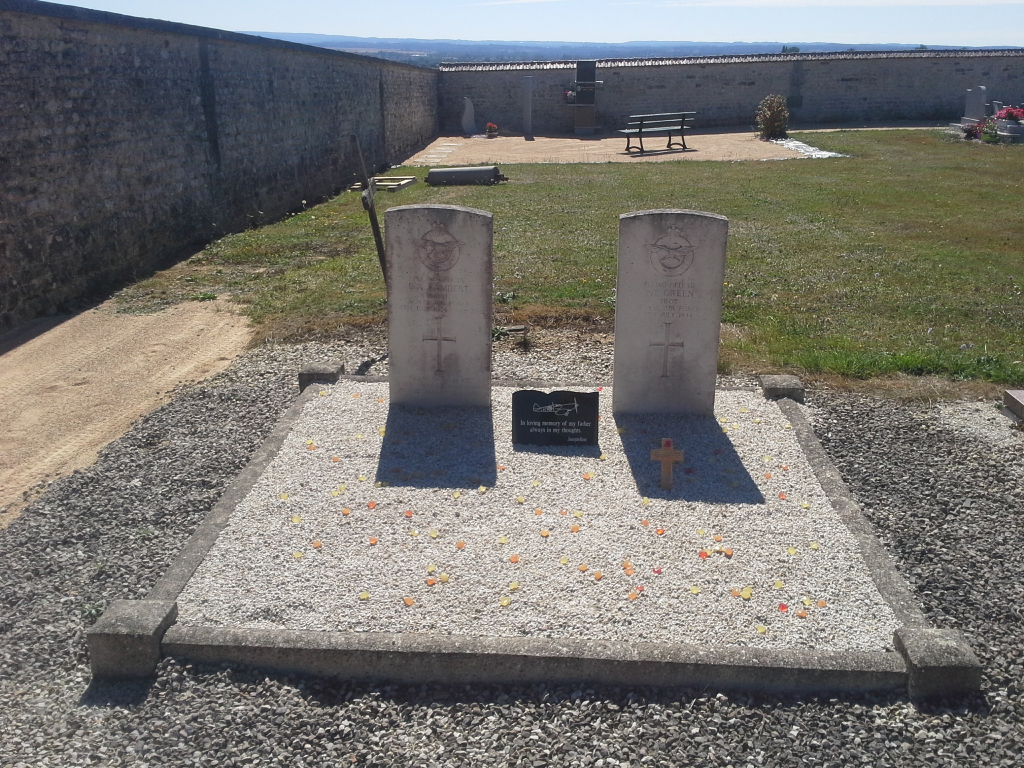
- Total identified casualties 2 Find these casualties
- Region Orne
- Identified casualties from Second World War
- GPS Coordinates Latitude: 48.75089, Longitude: -0.12505
Location information
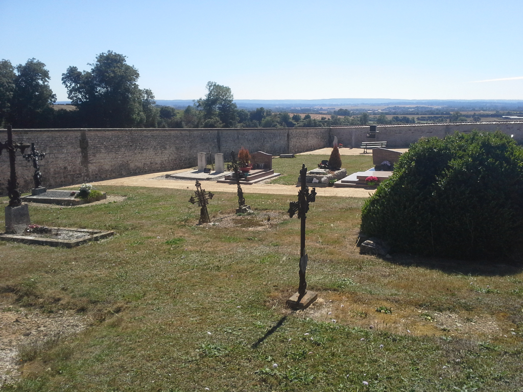
The village of Montgaroult is 8 kilometres west of Argentan. The cemetery is on the eastern side of the village, on the D.15 road from Argentan. There are 2 Commonwealth burials of the 1939-1945 war here, near the middle of the eastern wall.