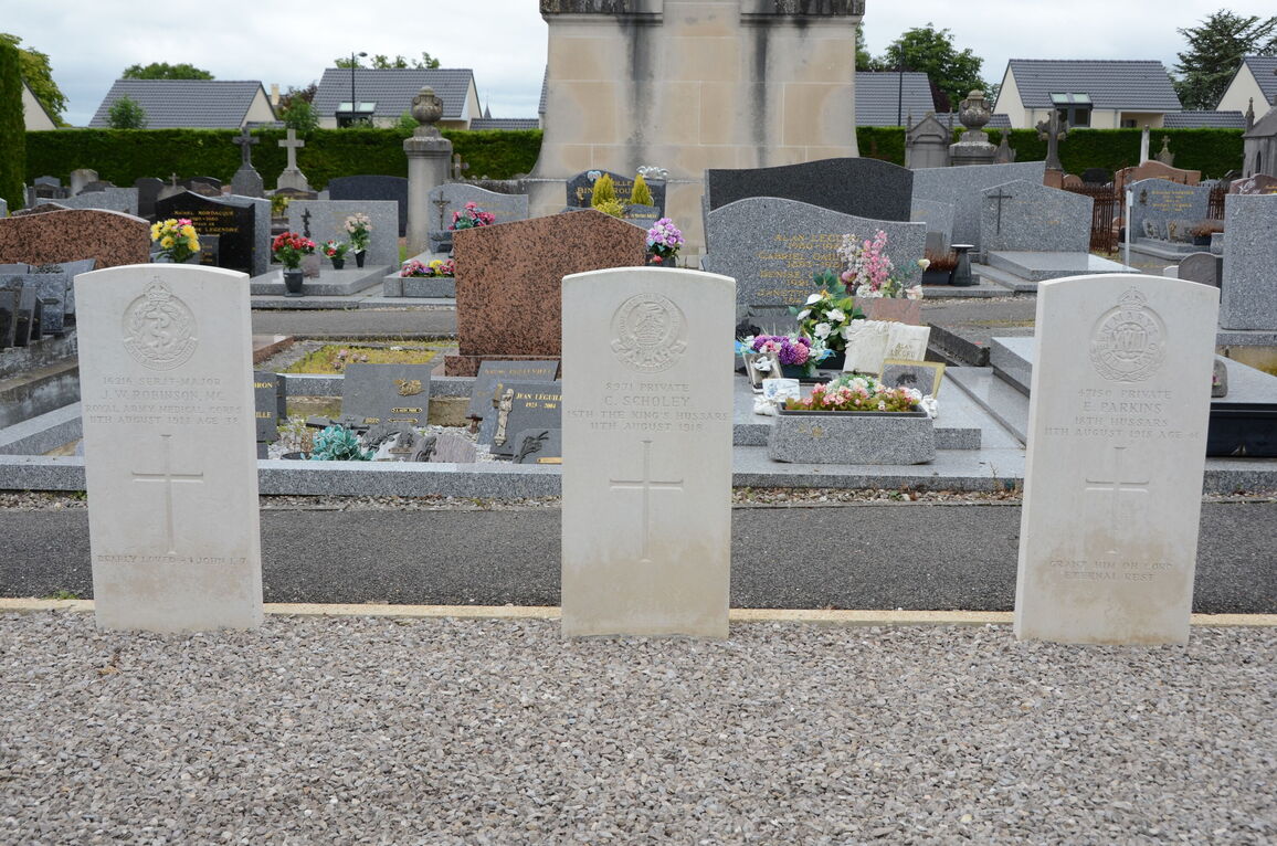
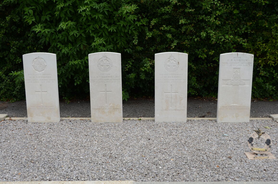
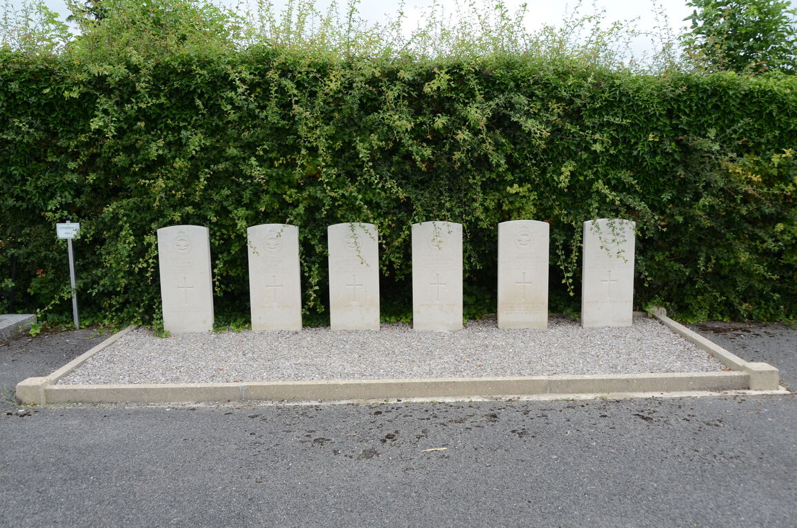
Camon Communal Cemetery
- Country France
- Total identified casualties 23 Find these casualties
- Region Somme
- Identified casualties from First & Second World War
- GPS Coordinates Latitude: 49.89006, Longitude: 2.34914
Location information
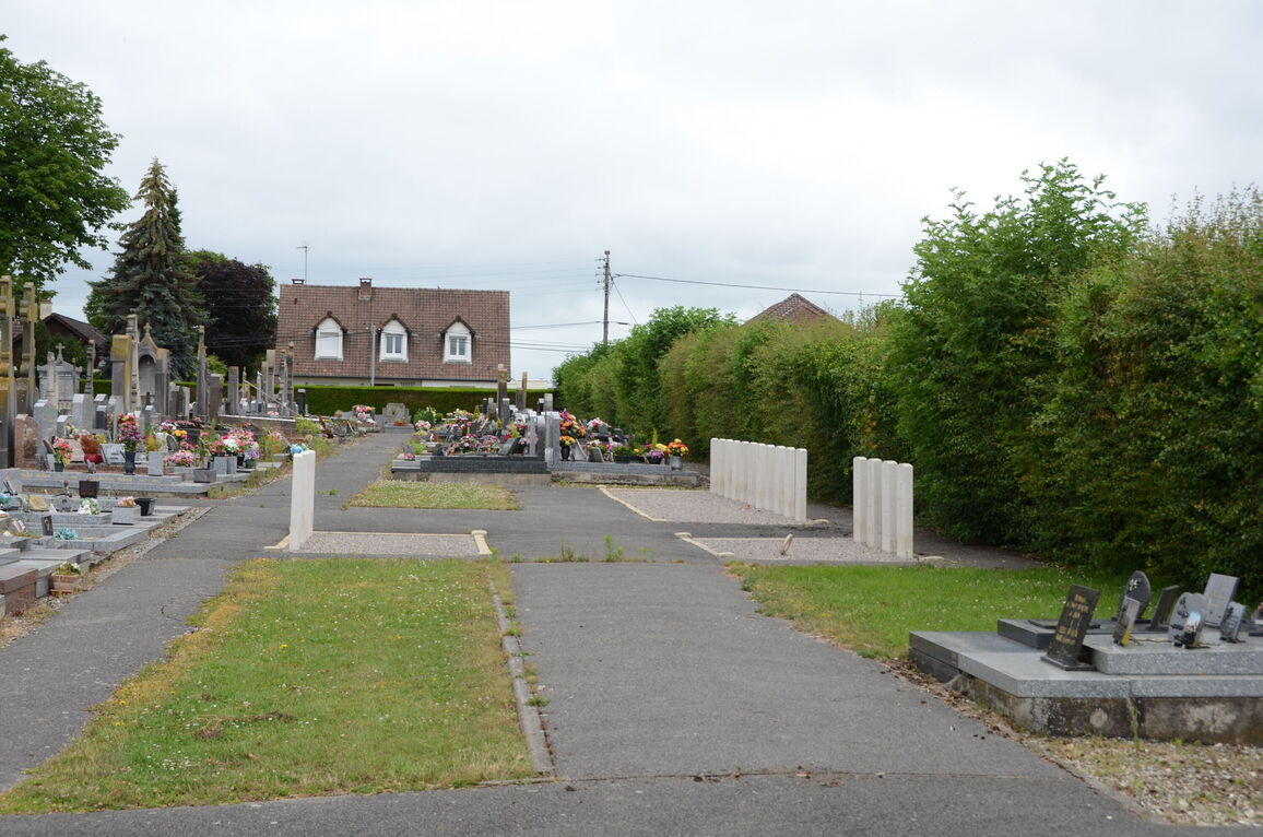
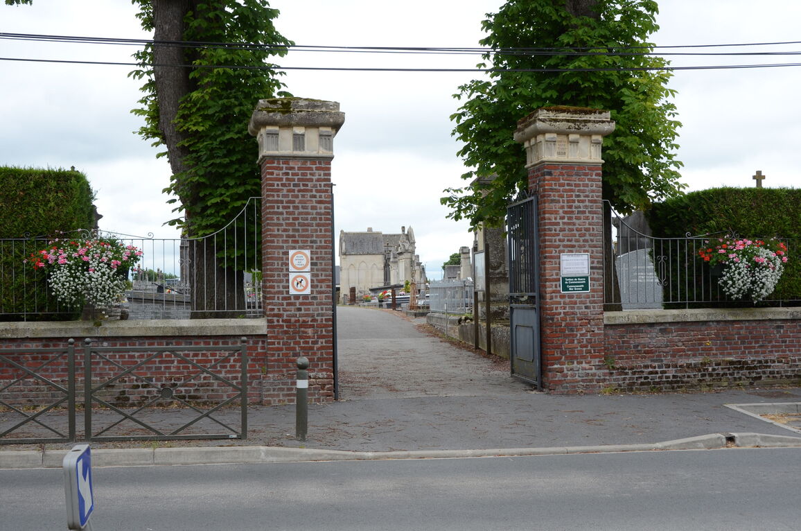
Camon is a village in the Department of Somme immediately east of Amiens across the river. From Amiens train station turn left onto the Rue Jules Barni, which runs in the south-easterly in the direction of Longeau. After approximately 1.5 kilometres you will see on your right the Saint Acheul Church. Turn left at this point onto the Rue Saint Acheul. Continue onto the Rue L'Agrappin and then turn right onto Rue Voyelle. Continue onto Rue Marius Petit which then becomes Rue Roger Salengro. The cemetery lies on the right hand side of this road. The Commonwealth war graves are on the north-east side of the cemetery.
Download Cemetery Plan
History information
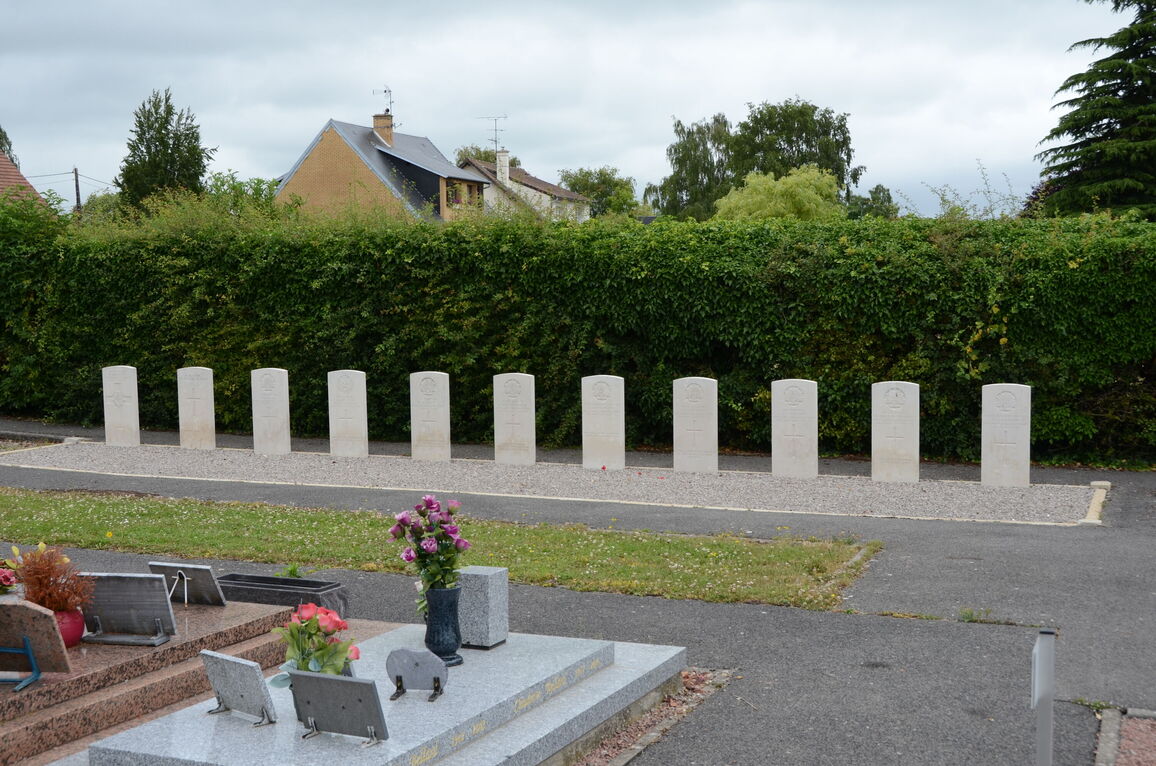
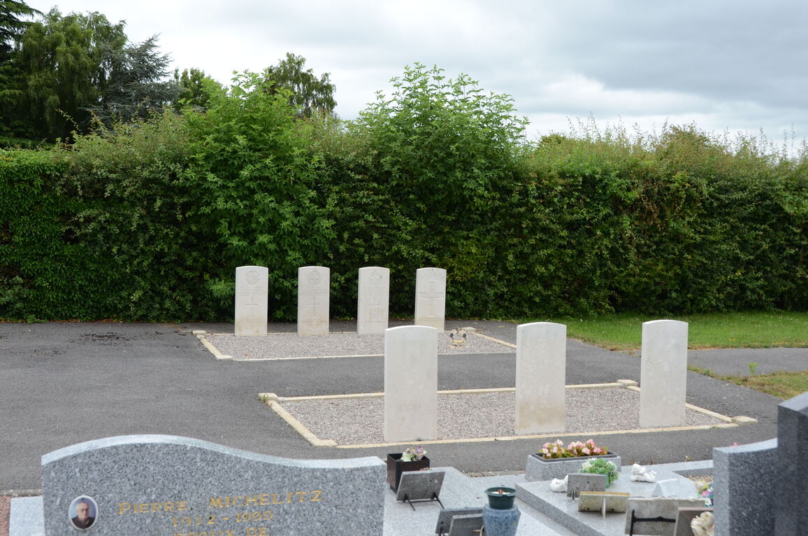
Camon Communal Cemetery contains 18 Commonwealth burials of the First World War and six from the Second World War.