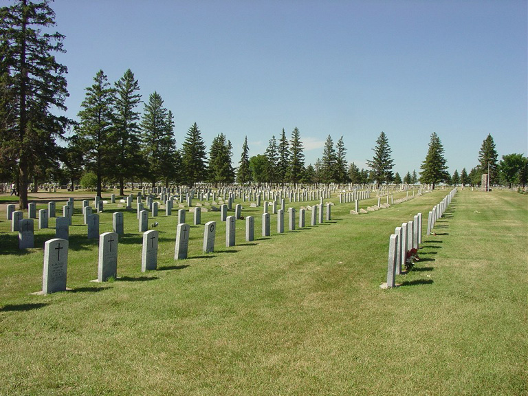
Moose Jaw (Rosedale) Cemetery
- Country Canada
- Total identified casualties 61 Find these casualties
- Region Saskatchewan
- Identified casualties from Second World War
- GPS Coordinates Latitude: 50.39695, Longitude: -105.58926
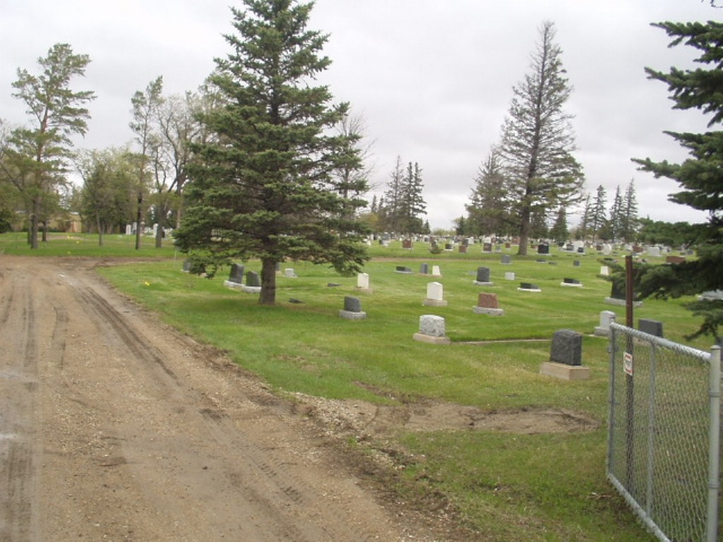
Location information
This cemetery is located on the corner of Caribou Street West and Thatcher Drive West.
Visiting information
The cemetery grounds are open daily for visitation from sunrise to sunset. The cemetery office is not on site, but is open Monday to Friday, from 8:15 a.m. to 5:00 p.m.
History information
Moose Jaw is a large industrial city 72 kilometres west of Regina. It has a large military airport, where No. 32 Solo Flying Training School was based during the 1939-1945 War. Rosedale Cemetery, which belongs to the City of Moose Jaw, contains 61 Commonwealth war graves, of which 48 are those of airmen, most of whom lost their lives on training flights at the Air School. The majority of the war graves are in Lot 8 Block 10, of which 35 are those of airmen of the Royal Air Force and 13 airmen of the Royal Canadian Air Force while the remainder are those of Canadian soldiers.