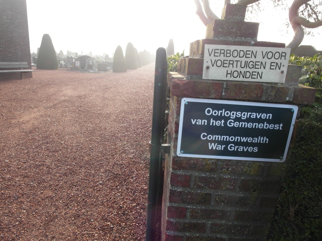
Asse (Mollemsebaan) Communal Cemetery
- Country Belgium
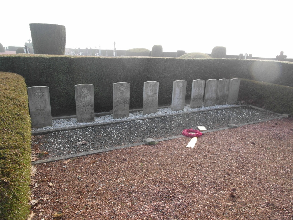
- Total identified casualties 9 Find these casualties
- Region Vlaams-Brabant
- Identified casualties from Second World War
- GPS Coordinates Latitude: 50.91833, Longitude: 4.19961
Location information
The village of Asse is situated to the north-west of Brussels on the N9 which runs between Brussels and Aalst. From the E40 motorway turn off at junction 20 (Ternat), turn right on the N285 direction Asse. Drive into the town to the crossroads with the N47, turn left on the N47 in the direction of Dendermonde. Take the second turning on the right into Kelestraat and then turn left into Prieelstraat. Follow this road until the junction with Mollemseweg. The cemetery is along on the right. The Commonwealth war graves are located in the southern corner of the cemetery. From the entrance follow the right hand path to the far boundary. The Commonwealth war graves are located in a small enclosure and are surrounded by a Yew hedge.
History information
The British Expeditionary Force was involved in the later stages of the defence of Belgium following the German invasion in May 1940, and suffered many casualties in covering the withdrawal to Dunkirk. Asse Communal Cemetey contains nine burials of the Second World War.