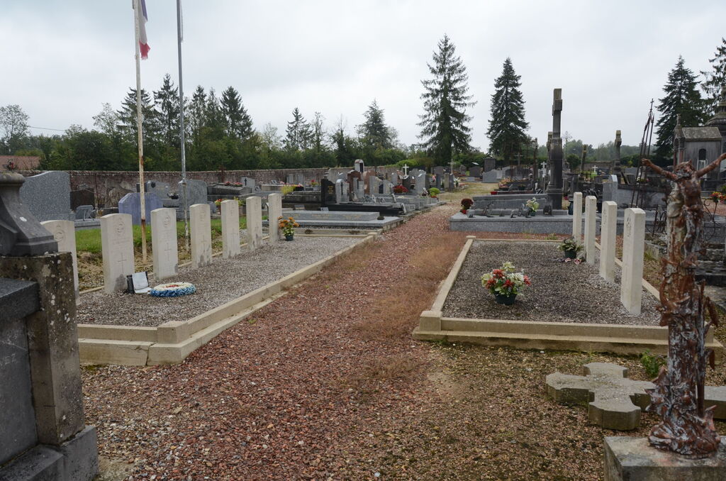
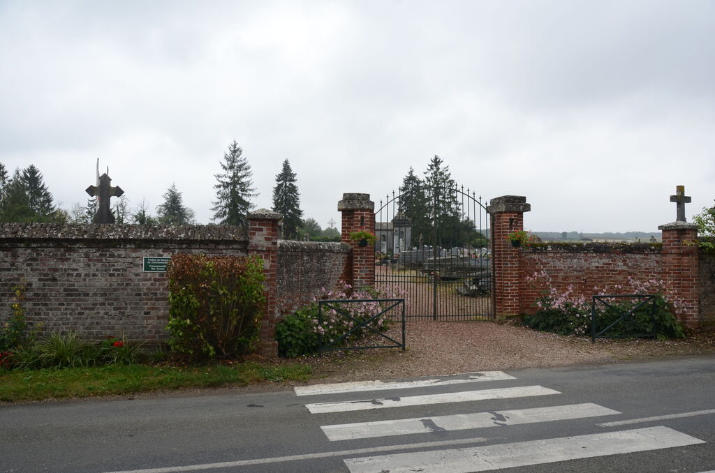
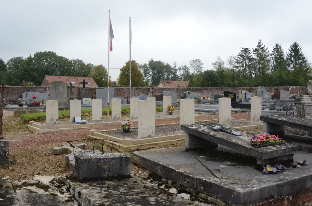
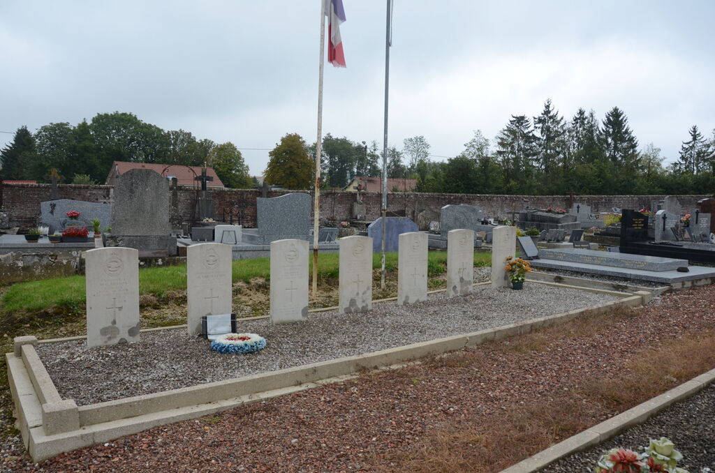
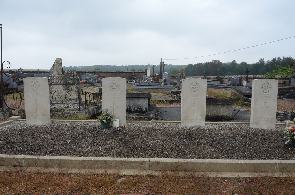
Davenescourt Communal Cemetery
- Country France
- Total identified casualties 11 Find these casualties
- Region Somme
- Identified casualties from Second World War
- GPS Coordinates Latitude: 49.70504, Longitude: 2.60382
Location information
Davenescourt is a village 30 kilometres south-east of Amiens and about 7 kilometres north-north-east of Montdidier, a town on the D933 road from Amiens to Paris. From Peronne take the N17 to Roye, then the D934 to Amiens, approximately 12.5 kilometres. Turn left towards Mangest-en-Santerre on the D41, then towards Davenescourt on the D41, about 6 kilometres. Drive through the village and the Communal Cemetery will be found on the left just out of the village on the D4.
History information
There are now over 10, 1939-45 war casualties commemorated in this site.