Rienne Communal Cemetery
- Country Belgium
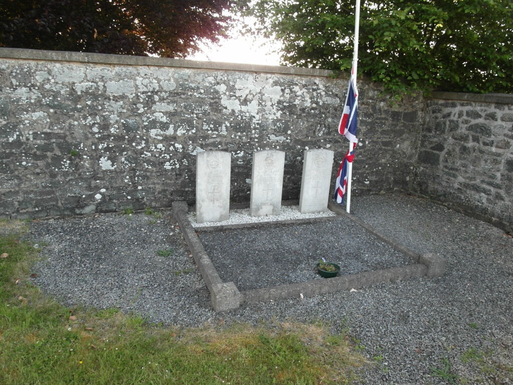
- Total identified casualties 3 Find these casualties
- Region Namur
- Identified casualties from Second World War
- GPS Coordinates Latitude: 49.99237, Longitude: 4.89206
Location information
The village of Rienne is located south of the town of Dinant on the N952. From the motorway E411 which runs between Namur and Luxembourg turn off at junction 22 onto the N94 direction Wellin. Follow the N94 to the junction with the N911, then follow the N911 direction Beauraing. In Beauraing at the junction with the N95/N40 turn onto the N95 direction Bouillon, follow the N95 to the junction with the N935 and turn onto the N935 direction Gedinne. In the village turn onto the N952 direction Rienne, on entering the village of Rienne the church is on the left and the cemetery is beside the church. The graves are located in the rear left hand corner of the cemetery.
History information
The British Expeditionary Force was involved in the later stages of the defence of Belgium following the German invasion in May 1940, and suffered many casualties in covering the withdrawal to Dunkirk. Commonwealth forces did not return until September 1944, but in the intervening years, many airmen were shot down or crashed in raids on strategic objectives in Belgium, or while returning from missions over Germany. Rienne Communal Cemetery contains the graves of three airmen of the Second World War.