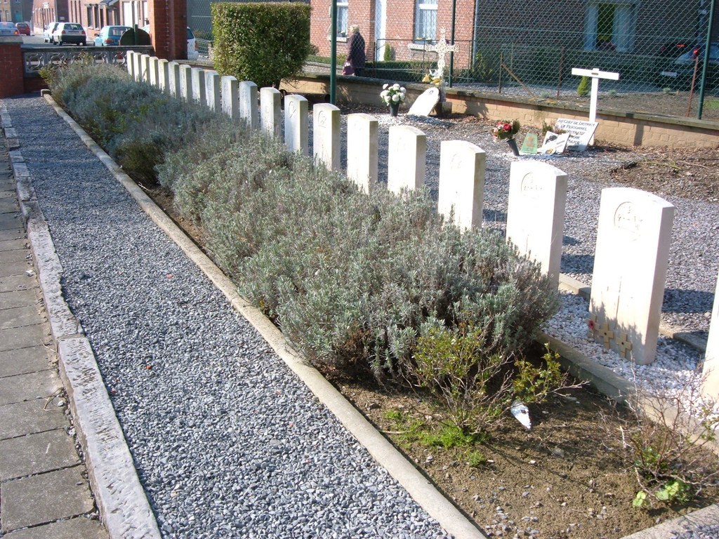
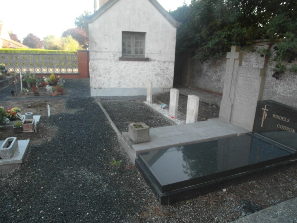
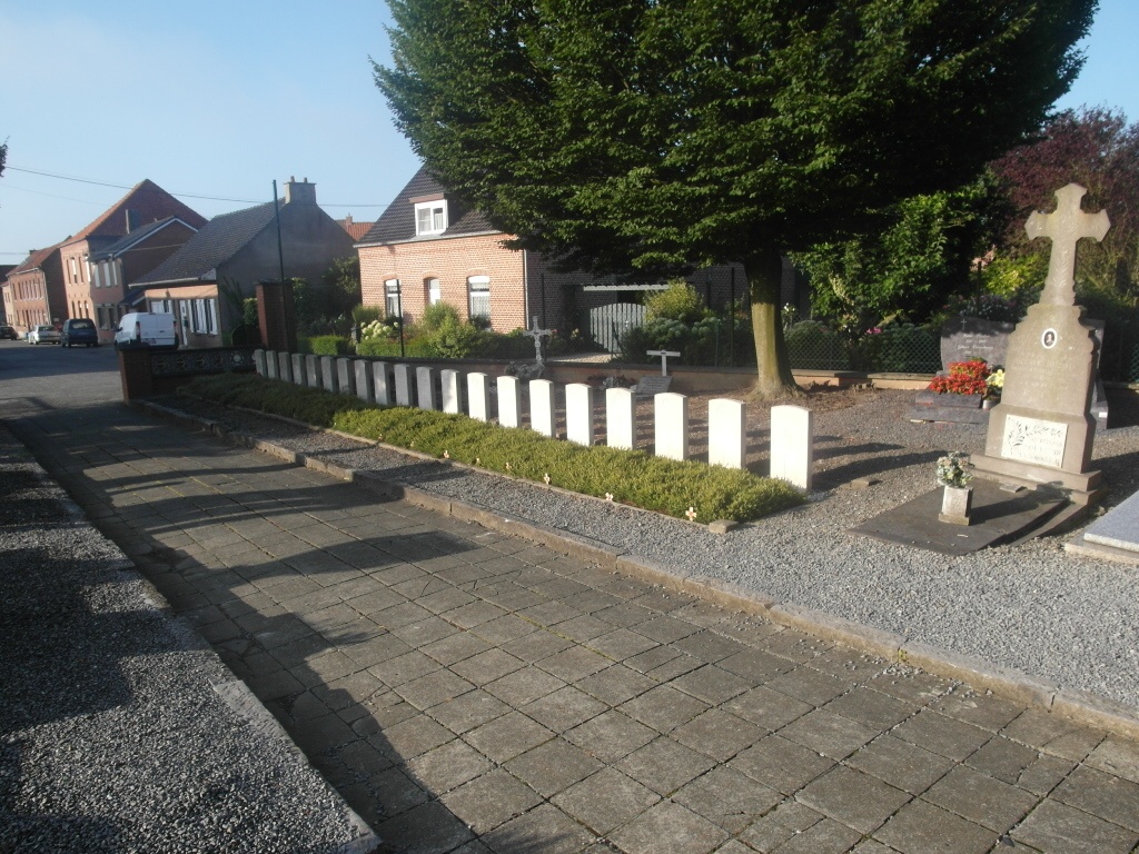
Esplechin Churchyard
- Country Belgium
- Total identified casualties 28 Find these casualties
- Region Hainaut
- Identified casualties from First World War
- GPS Coordinates Latitude: 50.57378, Longitude: 3.30399
Location information
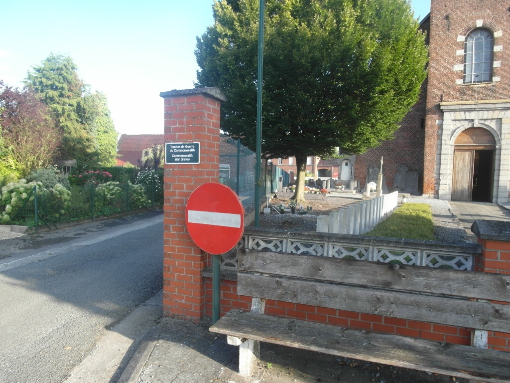
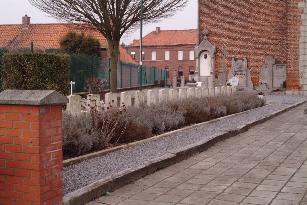
The village of Esplechin is located south-east of Tournai off the N508. From the E42 motorway turn off at junction 35 and onto the N7 direction Lille. Follow the N7 to the first junction and turn left direction Esplechin, under the motorway and through the village of Lamain and into Esplechin. The church is in the centre of the village. The graves are located to the left of the church at the front and to the right of the church at the rear.
History information
Esplechin Churchyard contains 28 Commonwealth burials of the First World War, all dating from October and November 1918, and the Advance to Victory.