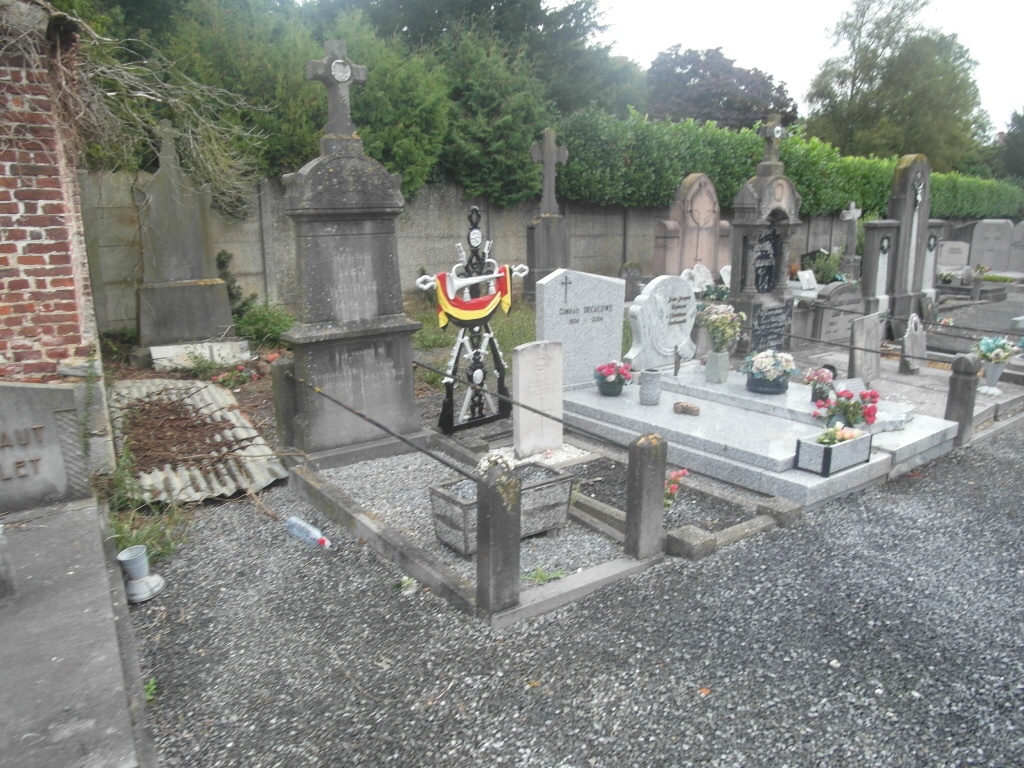
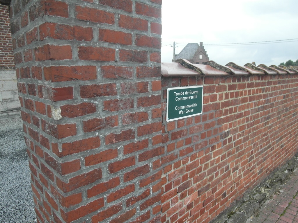
Rumillies Churchyard
- Country Belgium
- Total identified casualties 1 Find these casualties
- Region Hainaut
- Identified casualties from First World War
- GPS Coordinates Latitude: 50.62021, Longitude: 3.43701
Location information
Rumillies is north-east of Tournai off the N529. From the E42 motorway turn off at junction 32 and onto the N7, direction Tournai. At the junction with the Tournai ring, the R52, turn right. At the first crossroads turn right along the N48/529, direction Ronse. At the fork bear right along the N529 to Rumillies. Pass under the motorway and take the second turning right called Rue Hotel Hoge, the church is at the end of this road in the village centre. The grave is located to the left of the church.
History information
Rumilies Churchyard contains one Commonwealth burial of the First World War.