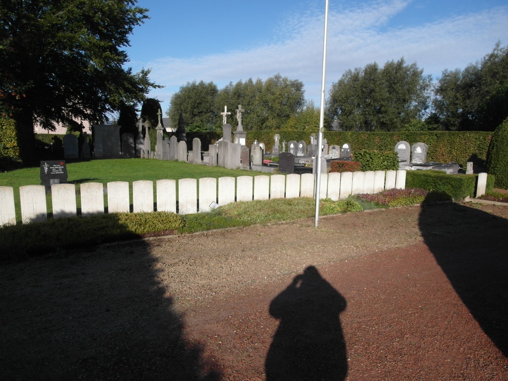
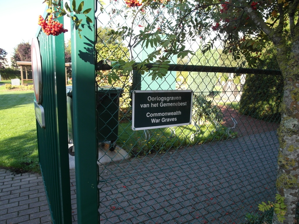
Stasegem Communal Cemetery
- Country Belgium
- Total identified casualties 23 Find these casualties
- Region West-Vlaanderen
- Identified casualties from First & Second World War
- GPS Coordinates Latitude: 50.83178, Longitude: 3.31032
Location information
Stasegem Communal Cemetery is located 36 kilometres east of Ieper town centre and 4 kilometres east of Kortrijk town centre on a road leading from the N8 Meenseweg. From Ieper the N8 passes through Menen, Wevelgem and Kortrijk. The N8 continues towards Zwevegem on the Kortrijkstraat. On reaching Zwevegem the left hand turning at the village square leads onto Harelbeekstraat. The road name then changes to Beneluxlaan and after passing under the E 17 reaches Stasegem. The cemetery itself is located after turning left at the T junction at the end of the Beneluxlaan onto the Steenbrugstraat. 1 kilometre along this road lies the right hand turning onto the Groendreef. The cemetery is located 50 metres along this lane on the left hand side of the lane.
Visiting information
Wheelchair access possible via main entrance.
For further information regarding wheelchair access, please contact our Enquiries Department on telephone number: 01628 634221
History information
Stasegem Communal Cemetery contains 23 Commonwealth burials of the First World War, all made in October and November 1918 by the 29th Division Burial Officers.