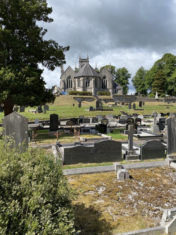
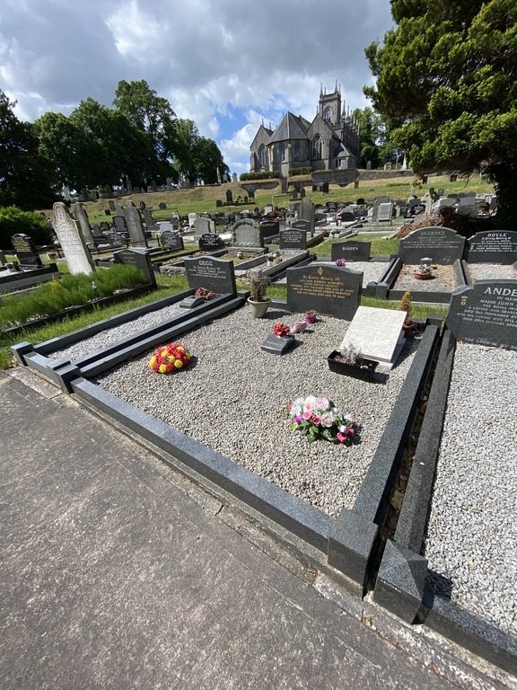
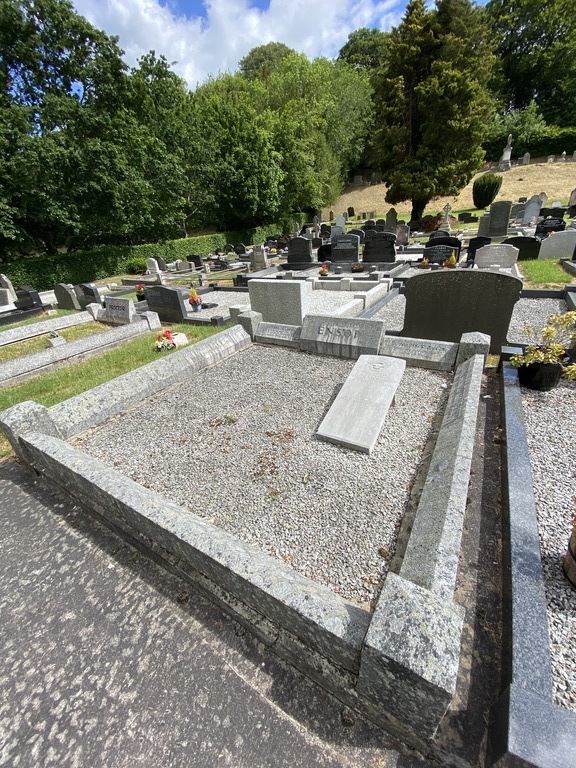
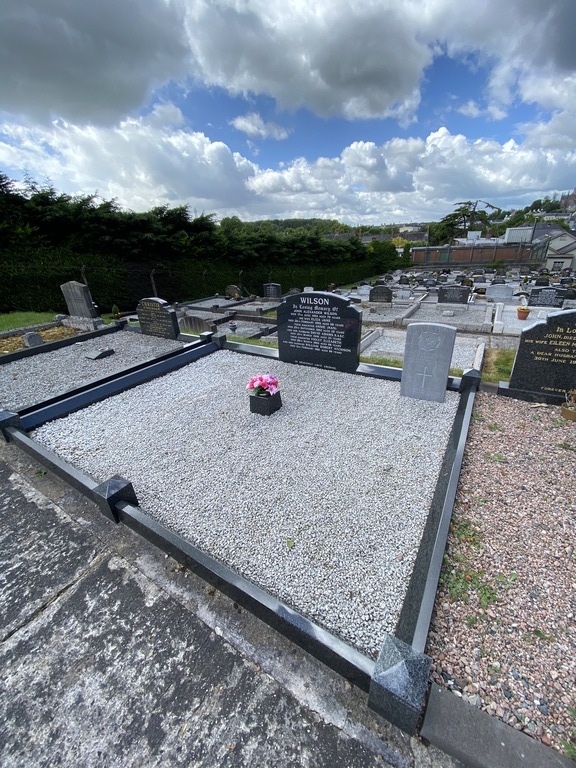
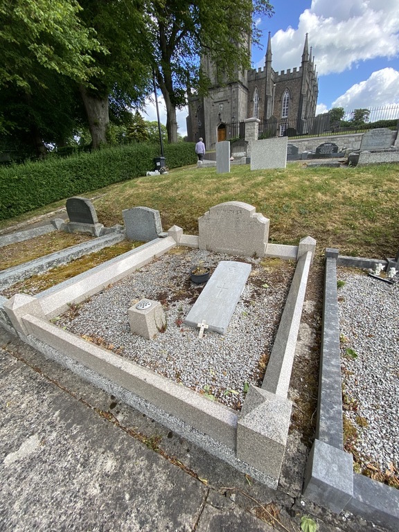
Armagh (St. Mark) Church Of Ireland Churchyard
- Country United Kingdom
- Total identified casualties 13 Find these casualties
- Region County Armagh
- Identified casualties from First & Second World War
- GPS Coordinates Latitude: 54.3493, Longitude: -6.64434
History information
The graves are near the far boundary from the church, below the grass bank. There are 5 Commonwealth burials of the 1914-1918 war and 5 of the 1939-1945 war here.