Merey Communal Cemetery
- Country France
- Total identified casualties 3 Find these casualties
- Region Eure
- Identified casualties from Second World War
- GPS Coordinates Latitude: 48.96579, Longitude: 1.40775
Location information
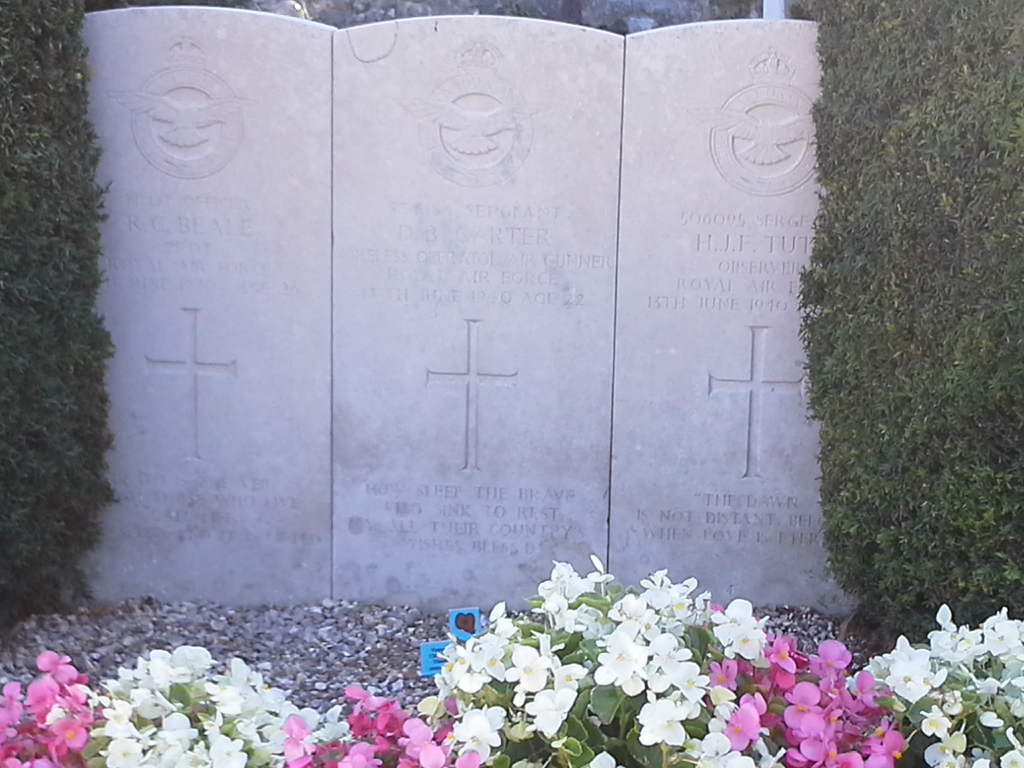
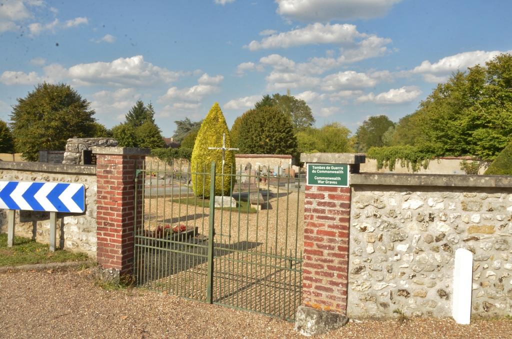
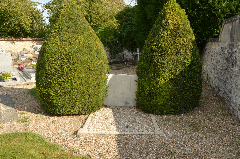
Merey is a village and commune 13.05 miles (21 km) east-south-east of Evreux, an important town with good road and rail connections with Paris and the towns of North Western France. There is a bus service from Evreux to Pacy-Sur-Eure, a small town 3.73 miles (6 km) from the village, where taxis are obtainable to complete the journey. Take the N13 road from Evreux in the direction of Pacy-Sur-Eure - 8.70 miles (14 km). Turn right onto the D141 signposted for St. Aquilin/Pacy-Sur-Eure centre. On entering St. Aquilin, take the first turn on the right onto the D71 signposted Merey, 7 km. After 800 metres from entering the village, the cemetery is located on the left of the road, after a sharp bend. The current precise location of the cemetery is; D71, Rue de Merey (for visitors with GPS systems the co-ordinates are; N48° 57'56'', longitude; E1°24'27'') About five yards from the entrance is the collective grave of three airmen of the Royal Air Force. It is marked by three headstones of the traditional Commission design and also a monument erected by the local authorities.