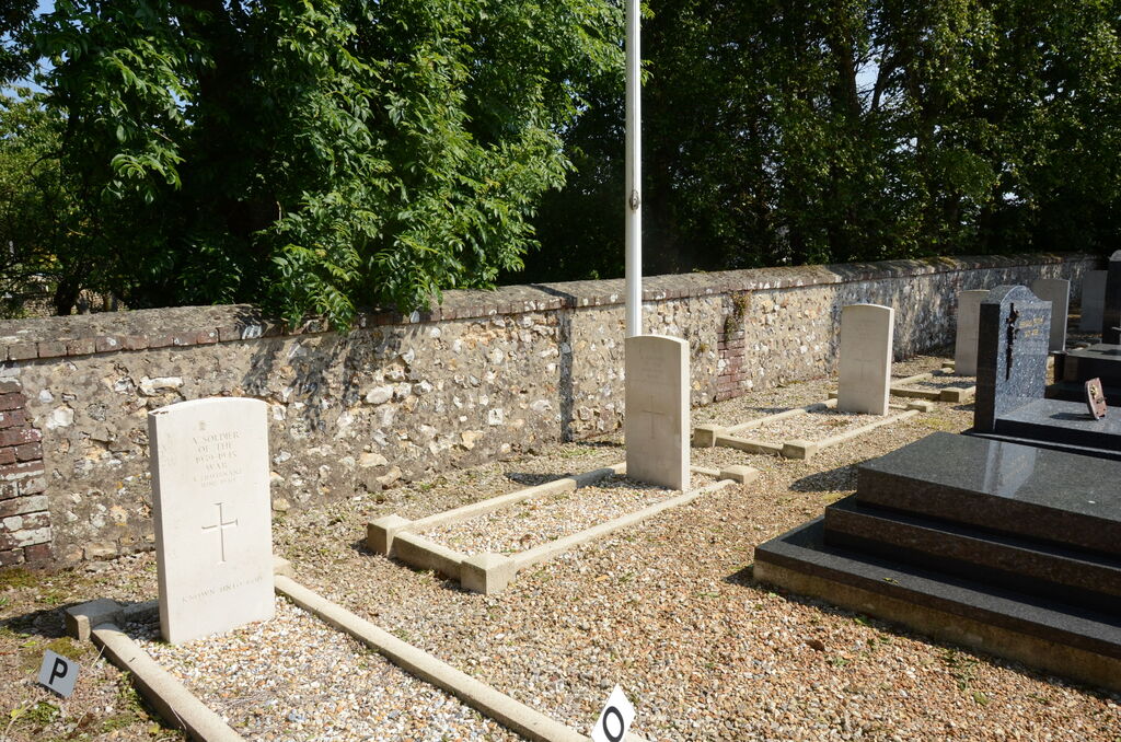
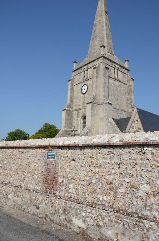
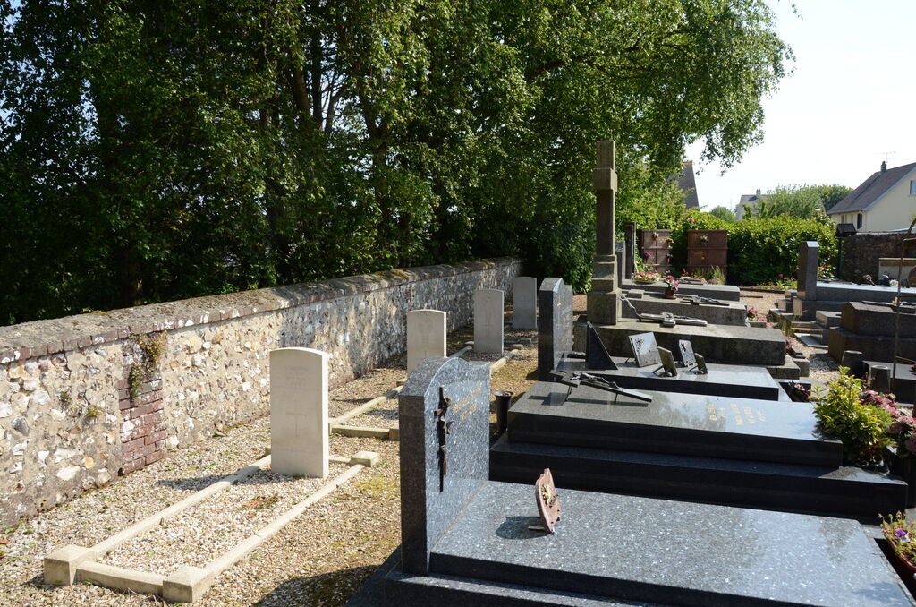
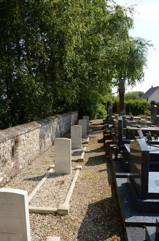
Senneville-Sur-Fecamp Churchyard
- Country France
- Total identified casualties 2 Find these casualties
- Region Seine-Maritime
- Identified casualties from Second World War
- GPS Coordinates Latitude: 49.77311, Longitude: 0.415
Location information
Senneville-sur-Fecamp is a village and commune 23 miles (37 kilometres) north-east of Le Havre, and 2.50 miles (4 kilometres) north-east of Fecamp, which is a fishing port on the Le Havre, St. Valery, Dieppe railway. The Fecamp to Dieppe bus route passes a few yards from the churchyard. Near the south-east corner of the church are the graves of 2 airmen of the Royal Air Force, and 4 soldiers of the British army. The latter are not identified.