Marson-Sur-Barboure Churchyard
- Country France
- Total identified casualties 7 Find these casualties
- Region Meuse
- Identified casualties from Second World War
- GPS Coordinates Latitude: 48.64053, Longitude: 5.4458
Location information
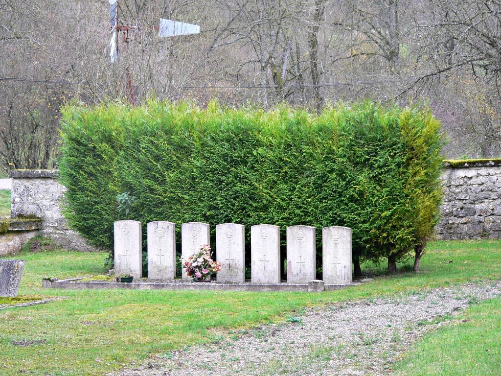
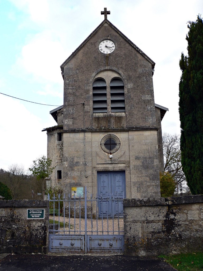
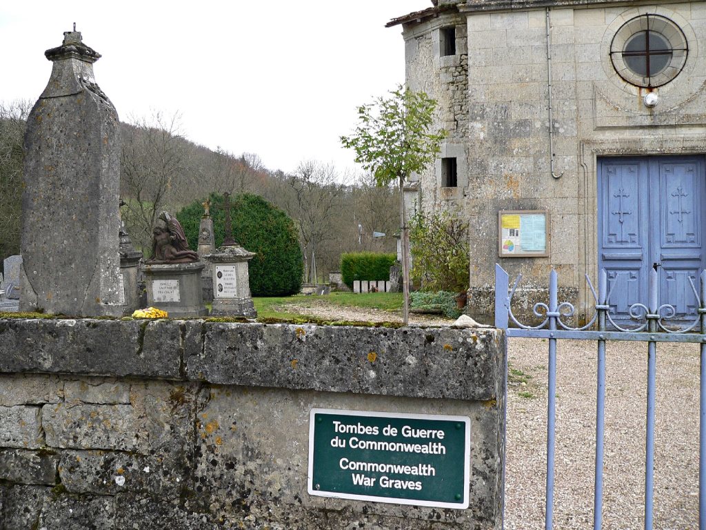
Marson-sur-Barboure is a small village and commune 27 kilometres south-east of Bar-le-Duc and 12 kilometres south-east of Ligny-en-Barrois, a small town at the crossing of the N.66 road from Bar-le-Duc to Gondrecourt and the N.4 Paris-Nancy road. In the churchyard, near the northern boundary, are the graves of seven airmen, six of them belonged to the Royal Air Force and one to the Royal Australian Air Force.


