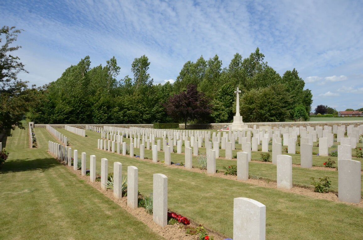
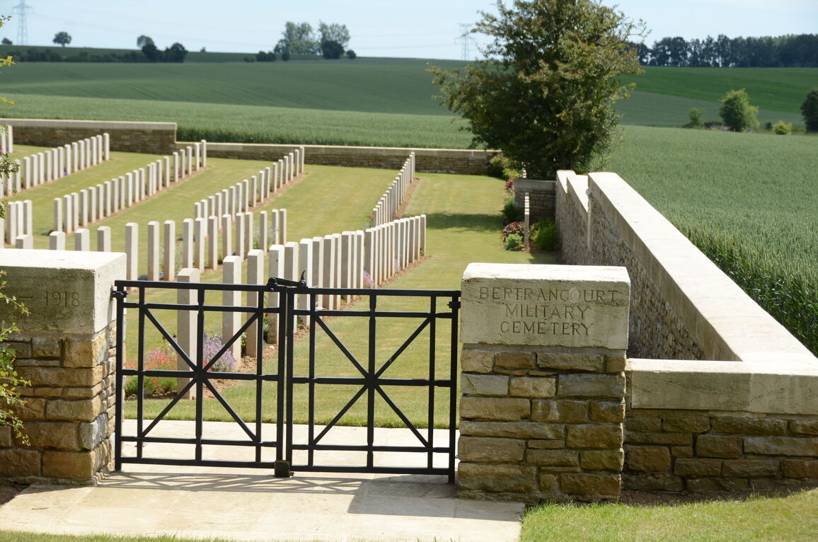
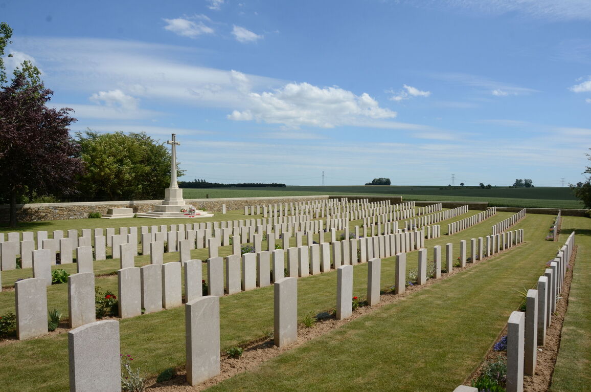
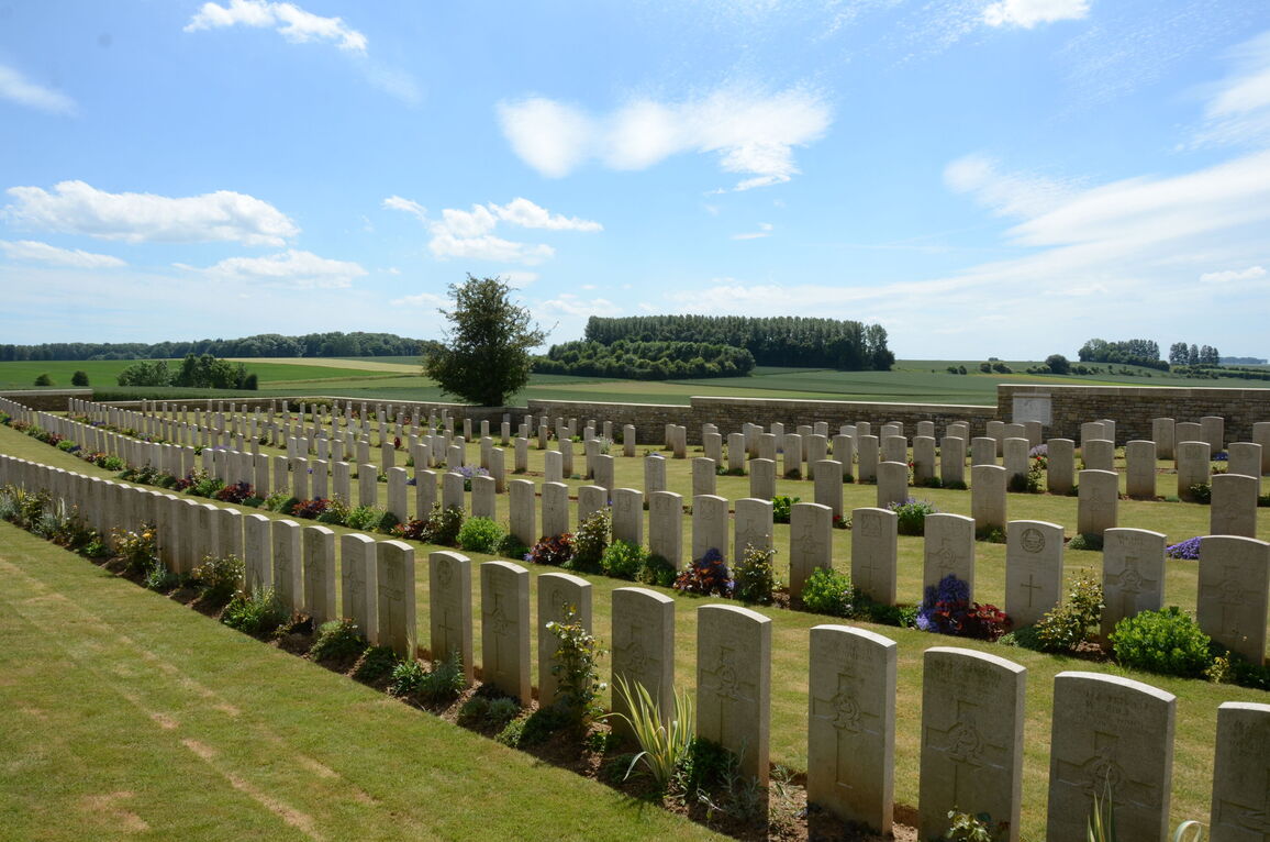
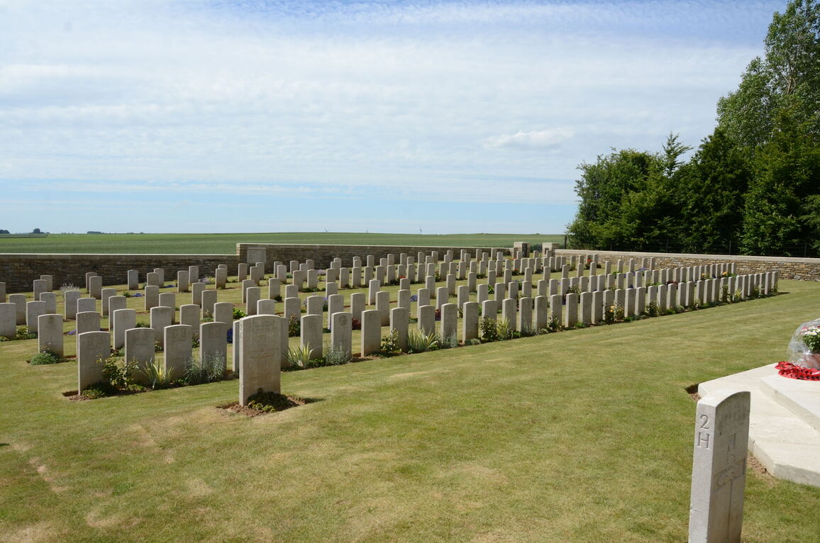
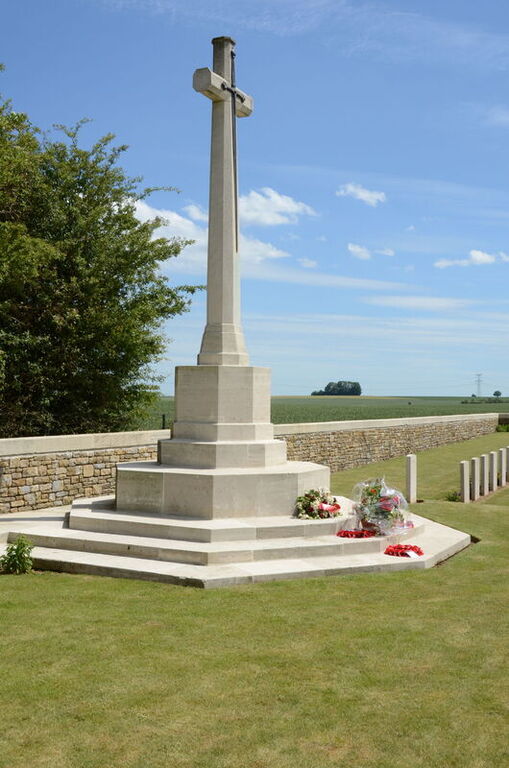
Bertrancourt Military Cemetery
- Country France
- Total identified casualties 417 Find these casualties
- Region Somme
- Identified casualties from First World War
- GPS Coordinates Latitude: 50.09082, Longitude: 2.55083
Location information
Bertrancourt is a village in the Department of the Somme. Using the D919 from Arras to Amiens you will drive through the villages of Bucquoy, Puisieux, Serre-les-Puisieux and then Mailly-Maillet (approximately 25 kilometres south of Arras). On leaving Mailly-Maillet, 100 metres further along the D919, turn right following the signs for Bertrancourt village (approximately 3 kilometres). On arrival at Bertrancourt take the first turning left and continue for 300 metres. A signpost will be seen which will direct you right onto a small lane which continues straight to Bertrancourt Military Cemetery.
History information
The cemetery was used by field ambulances in 1916 and 1917 and again by corps and divisional burial parties in the critical months of June, July and August 1918, when German advances brought the front line to within 8 kilometres of Bertrancourt. There are 416 Commonwealth burials of the First World War in the cemetery. Many of the graves are of Yorkshire or Lancashire regiments. The cemetery was designed by Sir Reginald Blomfield.