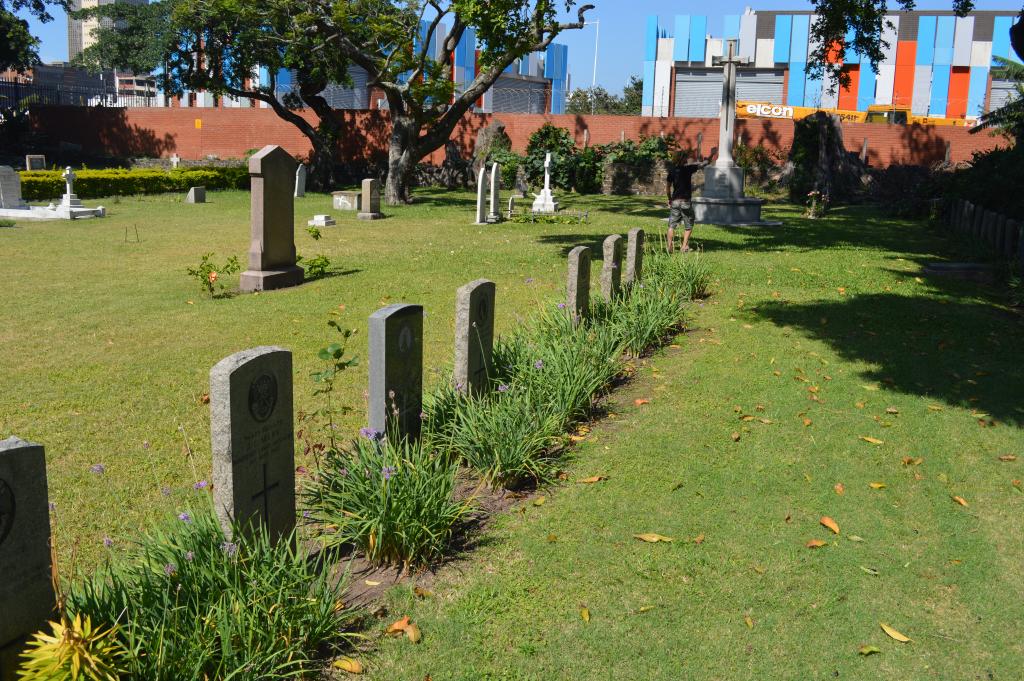
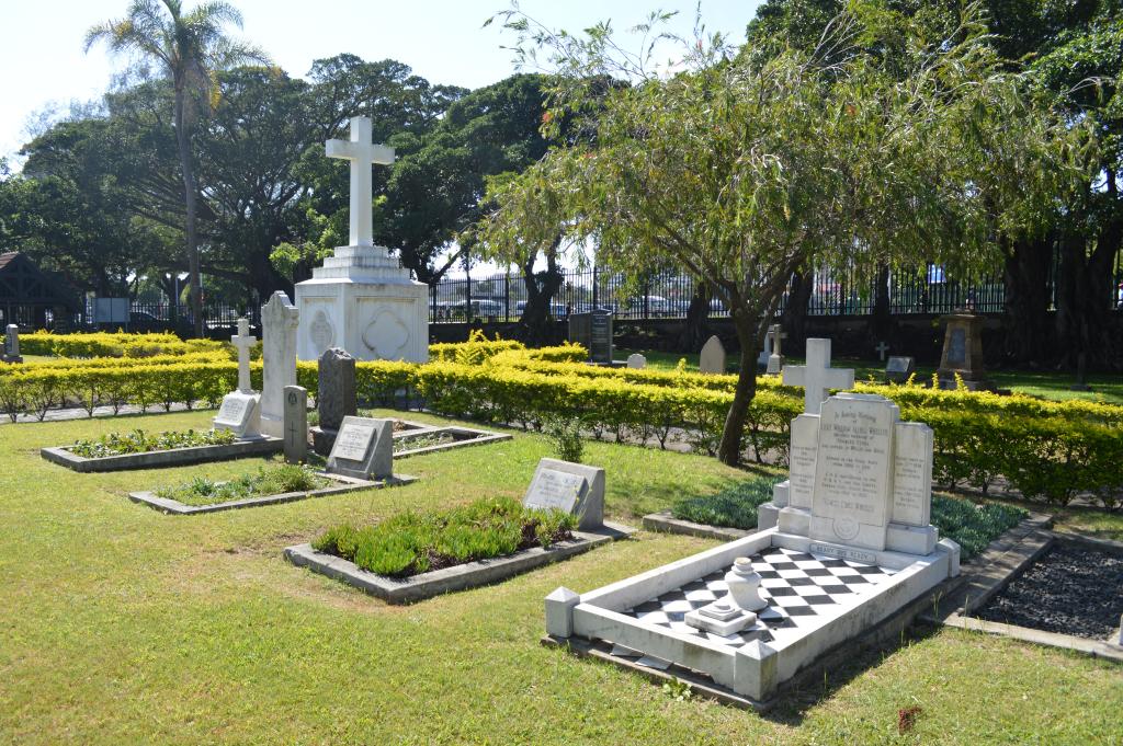
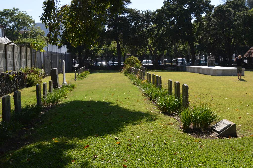
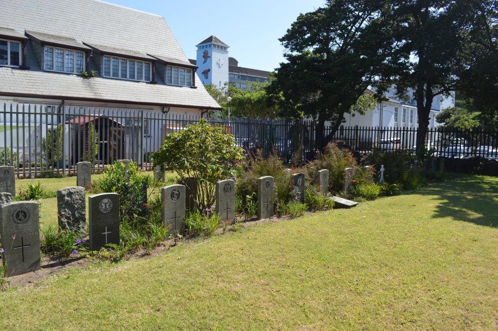
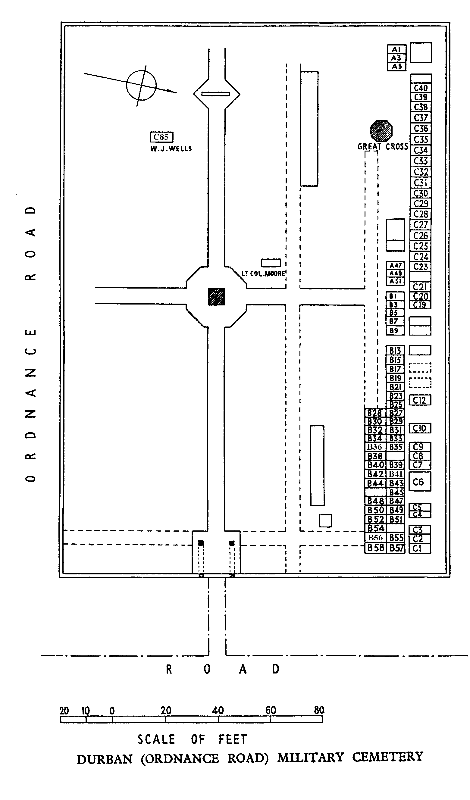
Durban (Ordnance Road) Military Cemetery
- Country South Africa
- Total identified casualties 81 Find these casualties
- Region Kwazulu Natal
- Identified casualties from First World War
- GPS Coordinates Latitude: -29.85282, Longitude: 31.02309
Location information
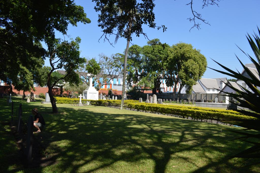
The cemetery (established in 1842) is situated close to the Old Fort at the corner of Ordnance Road and Wyatt Road. It is known locally as Wyatt Road Military Cemetery.
Visiting information
The Cemetery is kept locked for security reasons. To gain access, please use the code ‘3103’ in the combination lock.
This site also contains Anglo-Boer War graves, but their details do not appear on our web site. The CWGC is contracted to maintain the Anglo-Boer War graves here on behalf of the United Kingdom’s Ministry of Defence.
History information
Durban became a considerable hospital centre during the First World War. In May 1918 it contained No.3 South African General Hospital, seven other hospitals and two convalescent camps, to which sick and wounded were brought from East African and other theatres of War.
Durban (Ordnance Road) Military Cemetery contains 80 Commonwealth burials of the First World War.