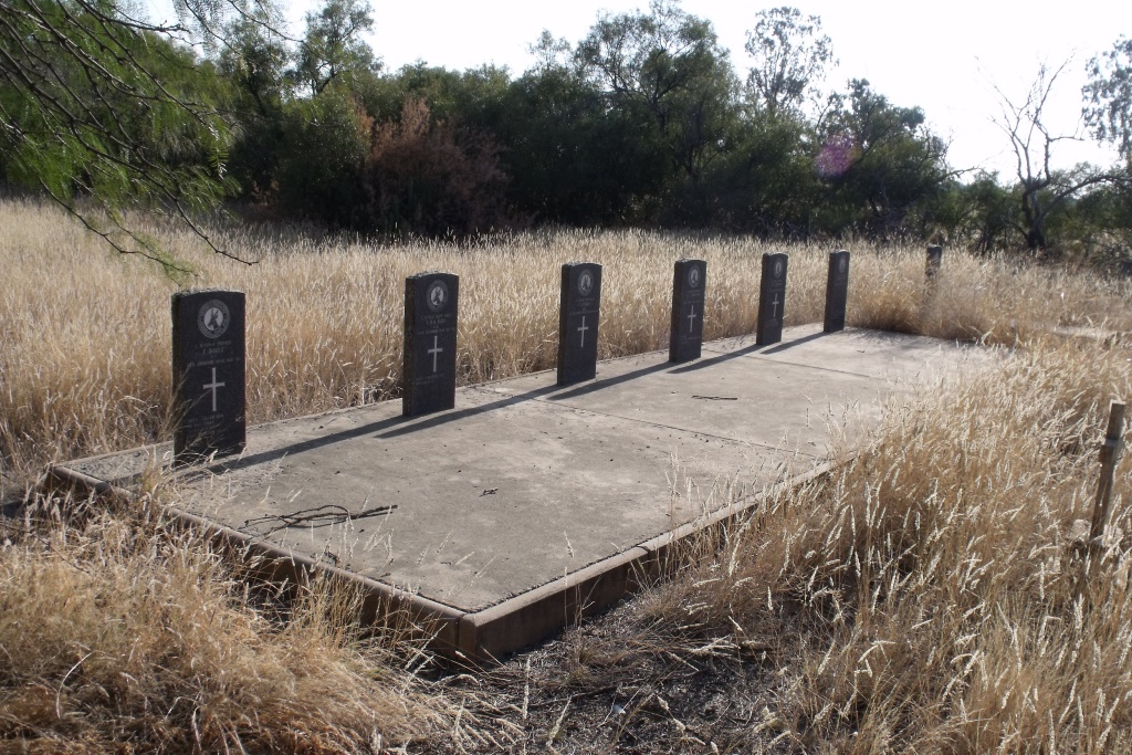
Kimberley (Dutoitspan) Cemetery
- Country South Africa
- Total identified casualties 16 Find these casualties
- Region Northern Cape
- Identified casualties from First & Second World War
- GPS Coordinates Latitude: -28.75474, Longitude: 24.80466
Location information
The cemetery lies on the eastern outskirts of Kimberley, to the northern side of Dutoits Pan mine.
History information
For both wars, Kimberley was the main centre for mustering and training the Cape Corps which was served by a hospital and a convalescent depot. During the Second World War, Number 21 Air School of the Empire Air Training Scheme was based at Alexanderfontein just outside the city. Kimberley (Dutoitspan) Cemetery contains two Commonwealth burials of the First World War and 14 from the Second World War.