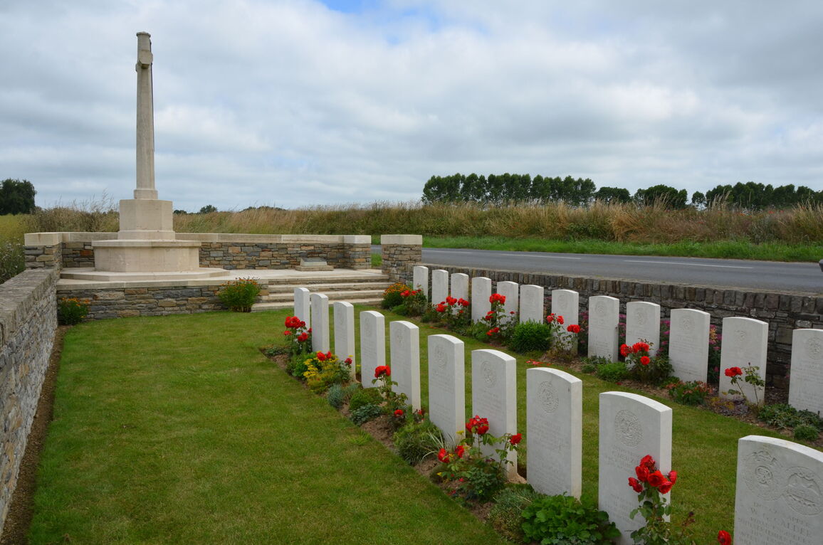
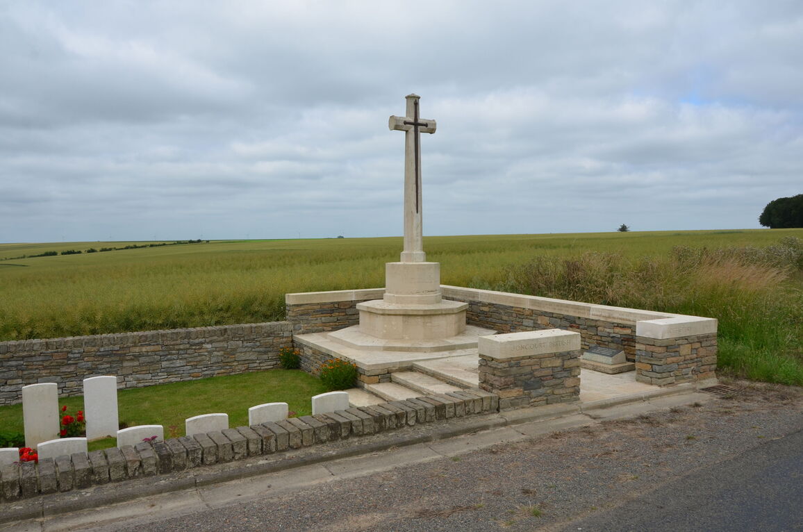
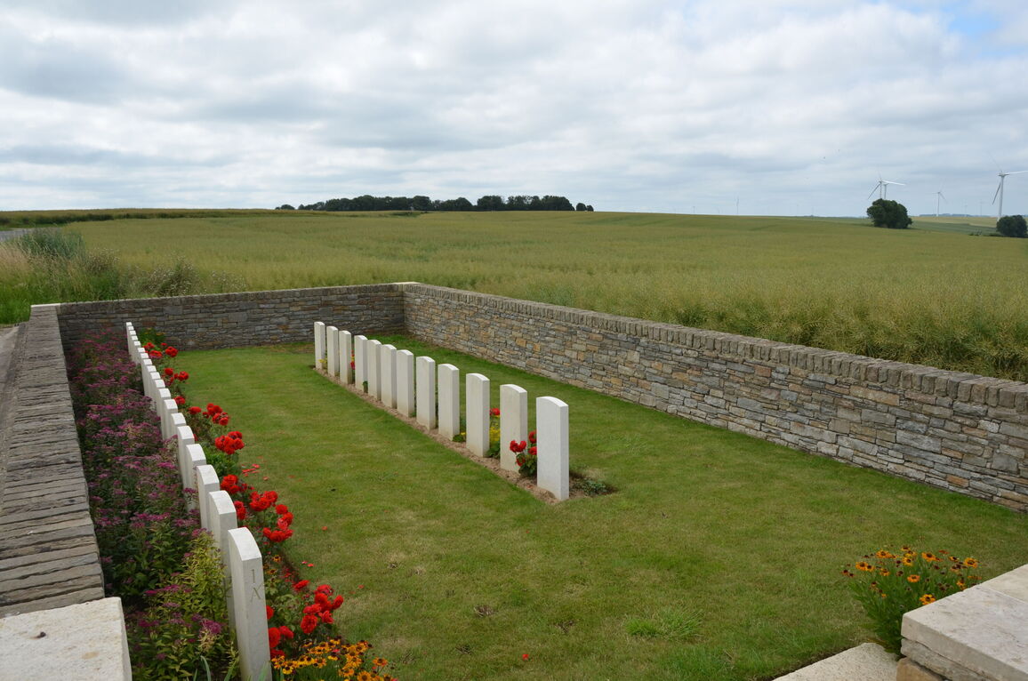
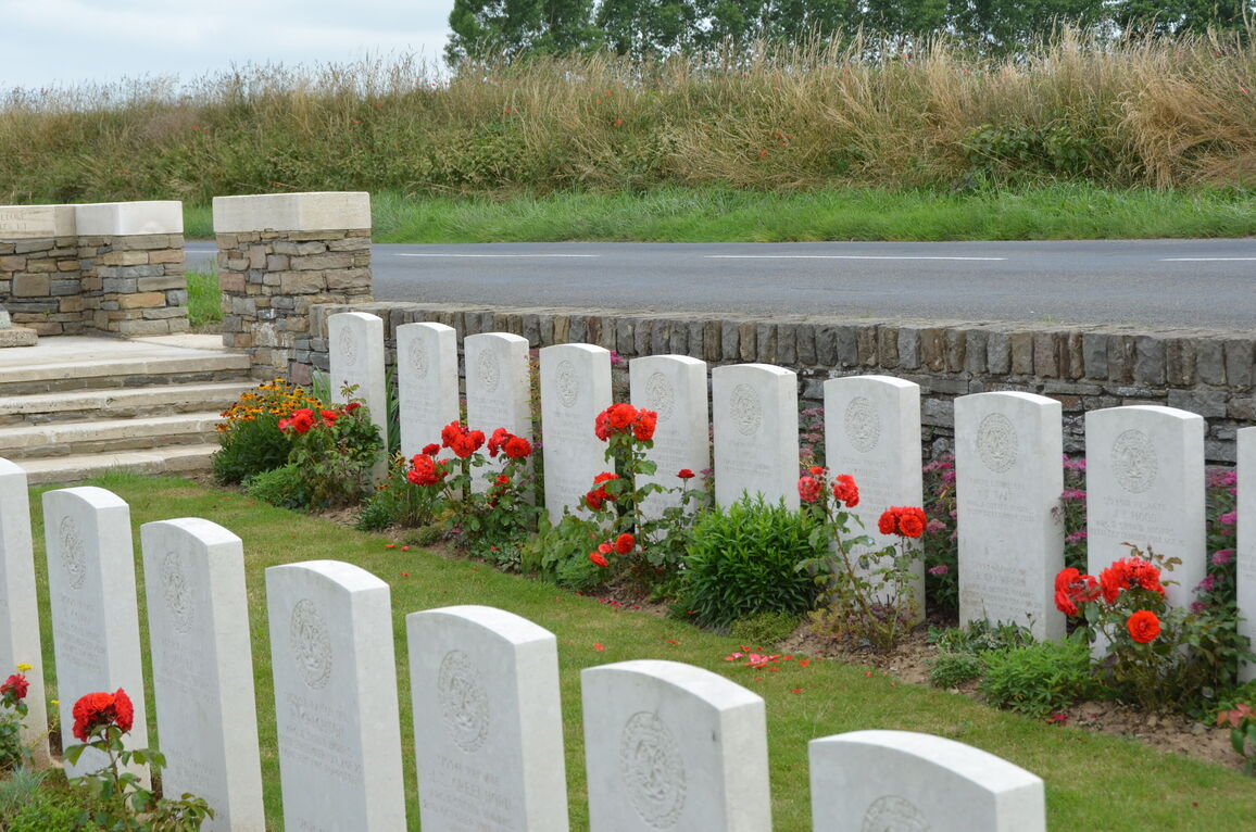
Joncourt British Cemetery
- Country France
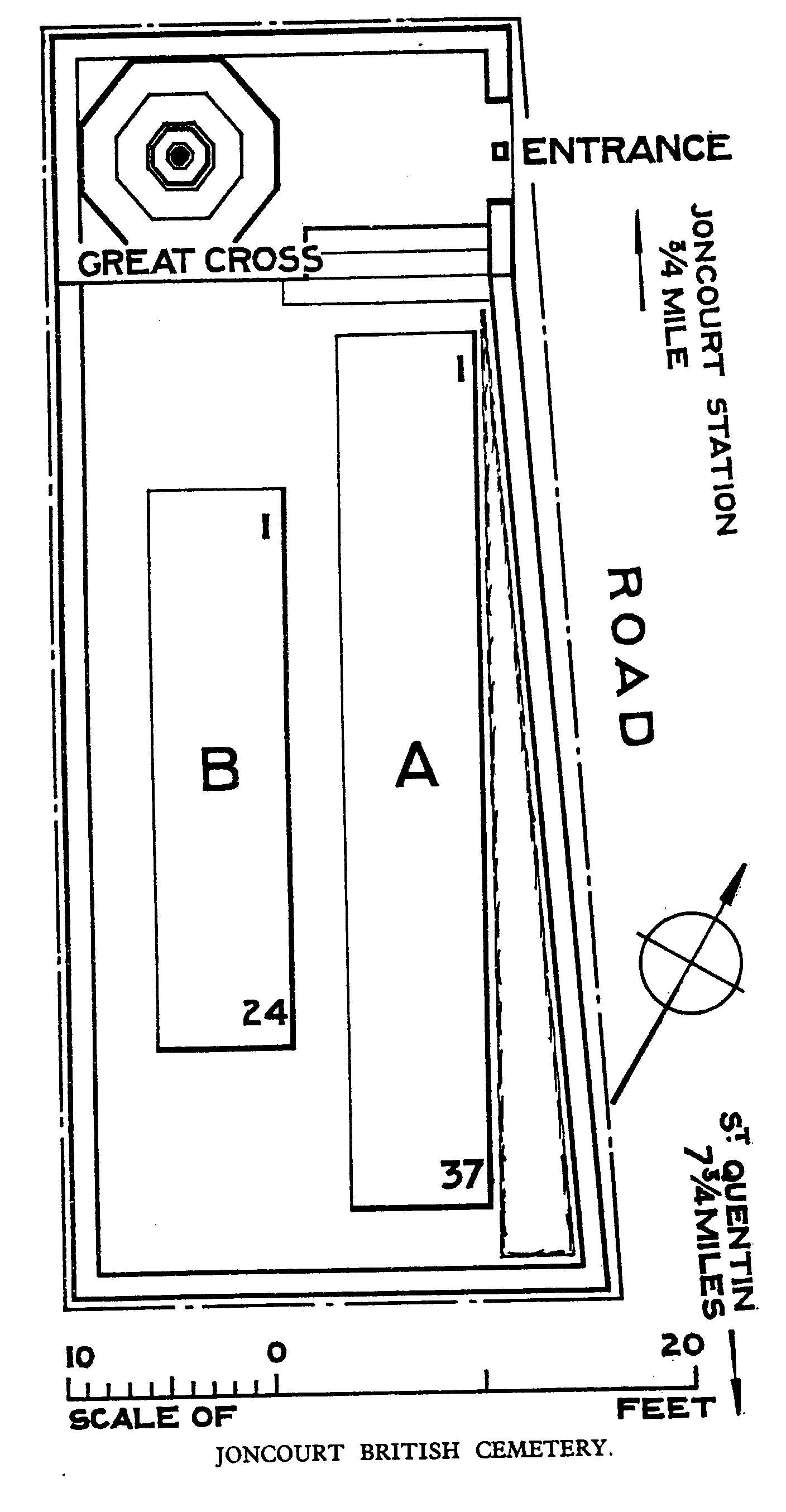
- Total identified casualties 58 Find these casualties
- Region Aisne
- Identified casualties from First World War
- GPS Coordinates Latitude: 49.94824, Longitude: 3.30259
Location information
Joncourt is a small village 10 Kms north of St. Quentin. It lies 1.5 Kms south-east of Estrees, a village on the D932 which eventually leads to Le Cateau. The Cemetery lies on the D71, 200 metres to the south of Joncourt, and is signposted from the crossroads above Joncourt church.
Visiting information
Wheelchair access to this cemetery is possible with some difficulty.
For further information regarding wheelchair access, please contact our Enquiries Section on telephone number 01628 507200.
History information
The village of Joncourt was immediately west of the German fortification called the Beaurevoir-Fonsomme Line. It was captured by Australian troops on 30 September 1918, and cleared by the 5th Australian and 32nd Divisions on the following day.
Joncourt British Cemetery contains 61 First World War burials, 55 of which belong to the 10th Argyll and Sutherland Highlanders. All of the graves date from the period 30 September - 4 October 1918.
The cemetery was designed by W H Cowlishaw.