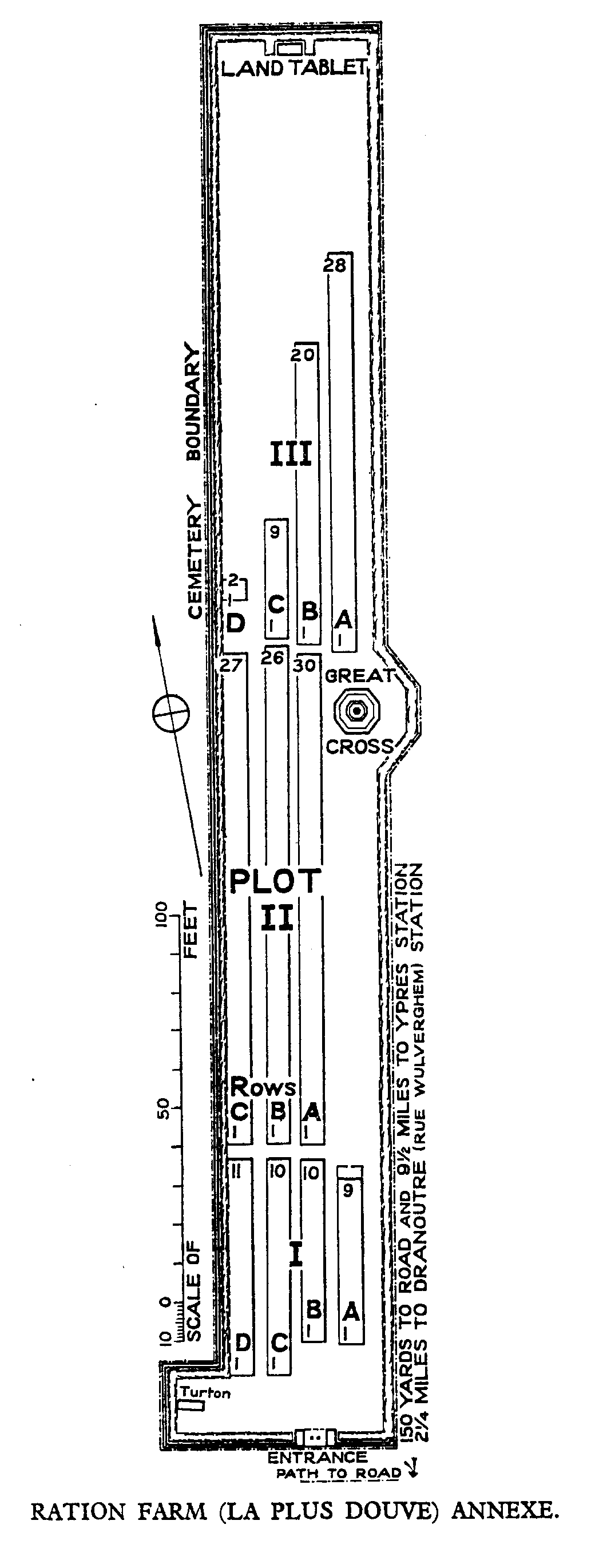
Ration Farm (La Plus Douve) Annexe
- Country Belgium
- Total identified casualties 195 Find these casualties
- Region Hainaut
- Identified casualties from First World War
- GPS Coordinates Latitude: 50.754, Longitude: 2.86352
Location information
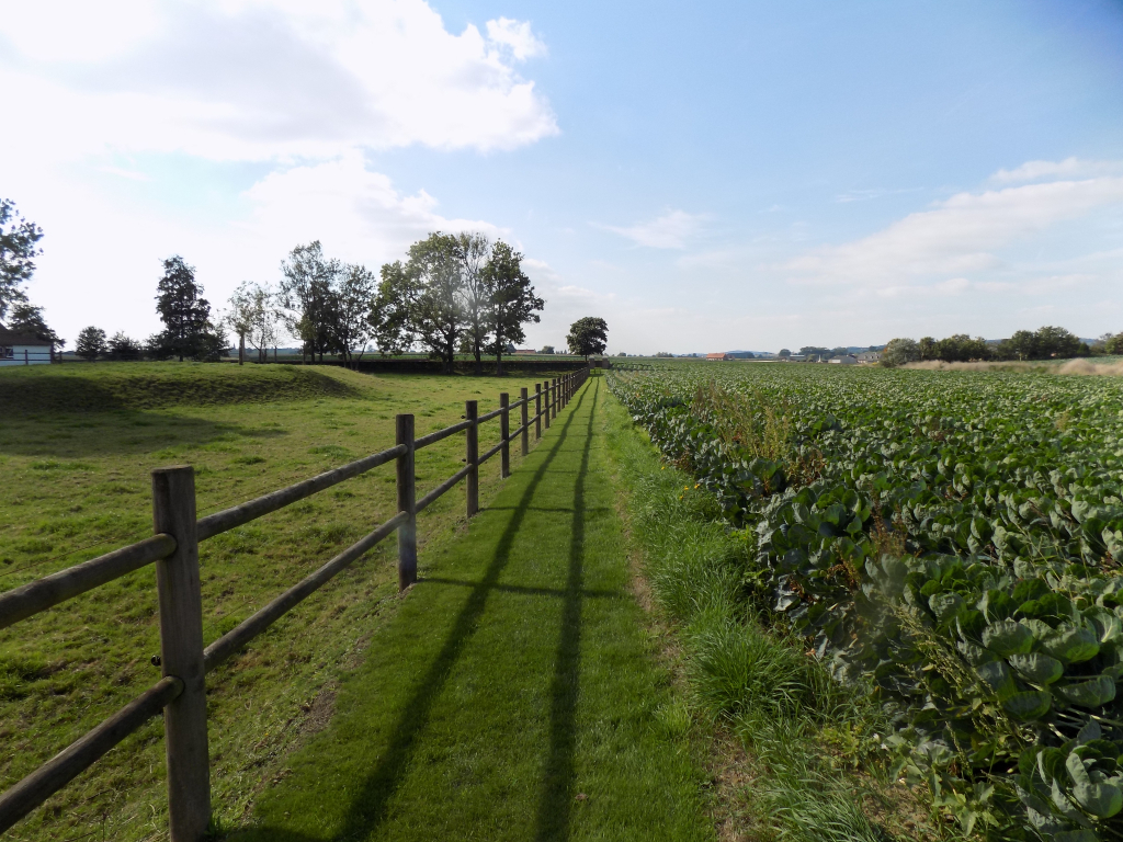
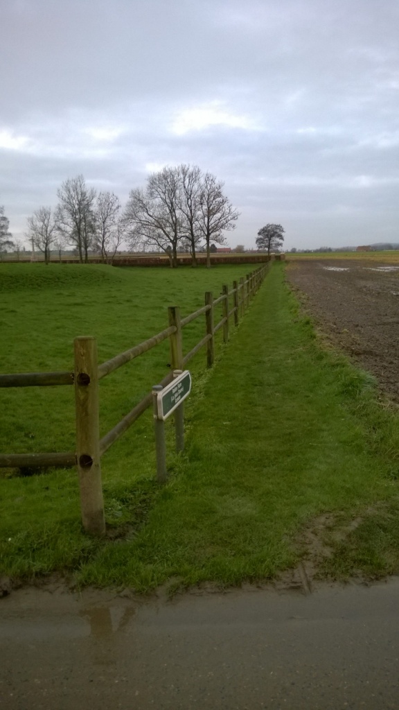
Ration Farm (La Plus Douve) Annex is located 10.5 Kms south of Ieper town centre, on a road leading from the Rijselseweg N365, which connects Ieper to Wijtschate and on to Armentieres. From Ieper town centre the Rijselsestraat runs from the market square, through the Lille Gate (Rijselpoort) and directly over the crossroads with the Ieper ring road. The road name then changes to the Rijselseweg. The first right hand turning in the village of Messines leads onto the Mesenstraat. 2 Kms along the Mesenstraat on the left hand side lies the street Plus Douve. The cemetery is located 500 metres along the Plus Douve on the right hand side of the track.
Visiting information
Visitors should note an 80 metre grassed access path leading to this site which is unsuitable for vehicles.
Wheelchair access possible via main entrance.
For further information regarding wheelchair access, please contact our Enquiries Department on telephone number: 01628 634221
History information
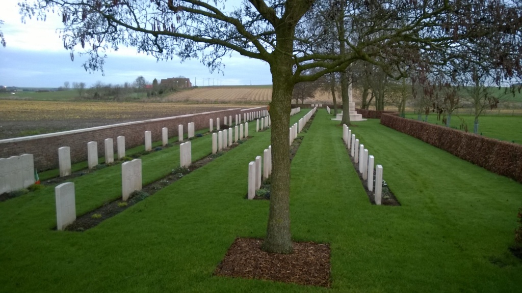
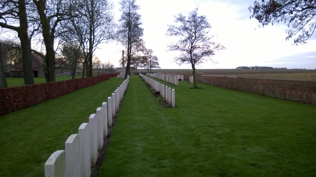
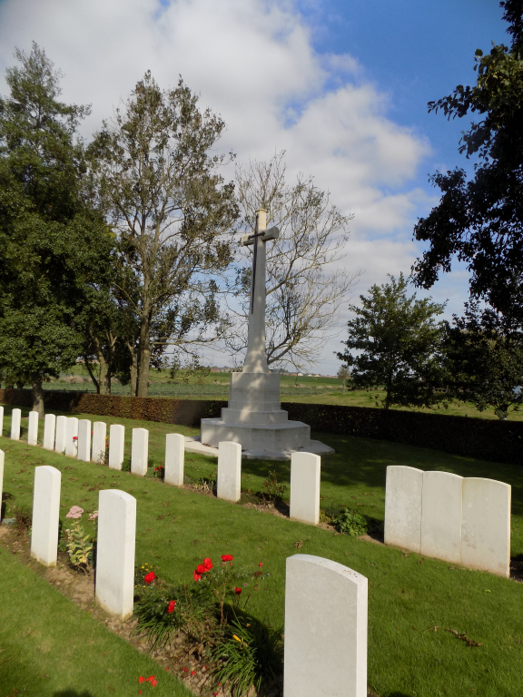
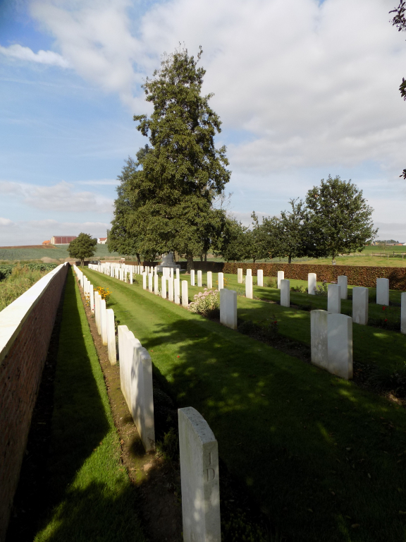
In the valley of the river Douve, north of Ploegsteert Wood, were two farms. 'La Petite Douve' was the object of a successful raid by the 7th Canadian Infantry Battalion in November 1915 and 'La Plus Douve', which was generally within the Allied lines, was used at times as a battalion headquarters. It was also known as Ration Farm because battalion transport could approach it at night with rations. Ration Farm (La Plus Douve) Annexe was begun in January 1915 and used until January 1918. It contains 202 Commonwealth burials of the First World War. The cemetery was designed by G H Goldsmith.