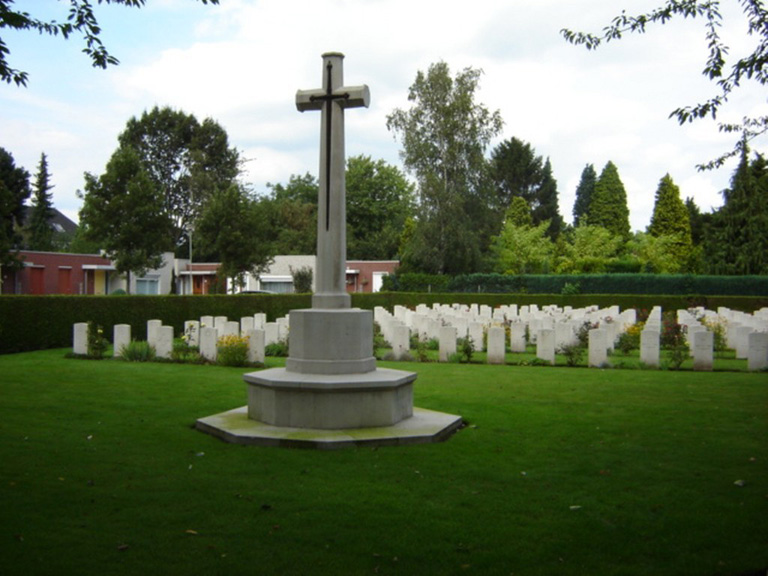
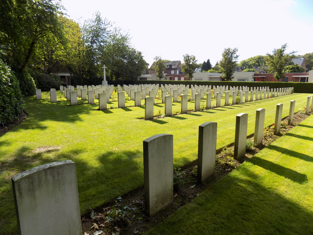
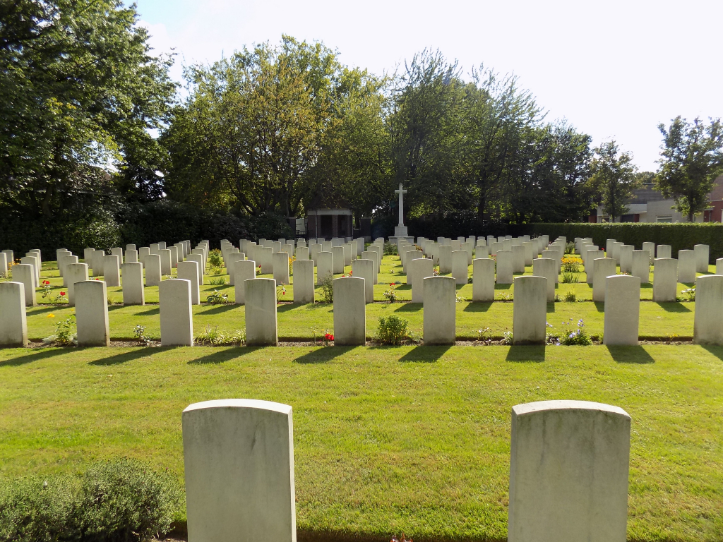
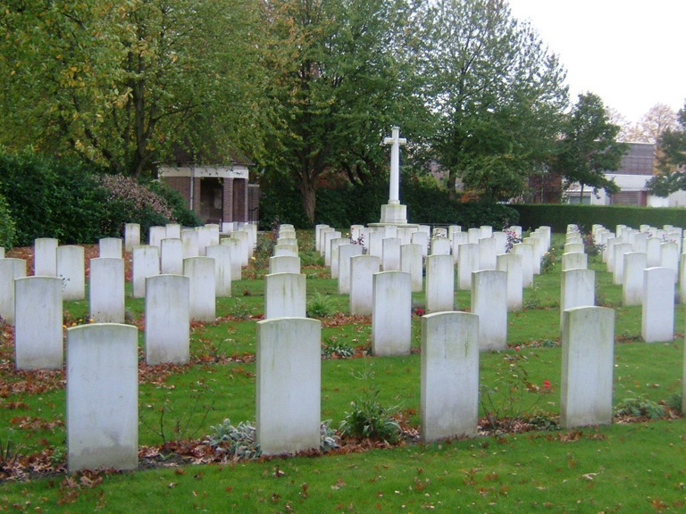
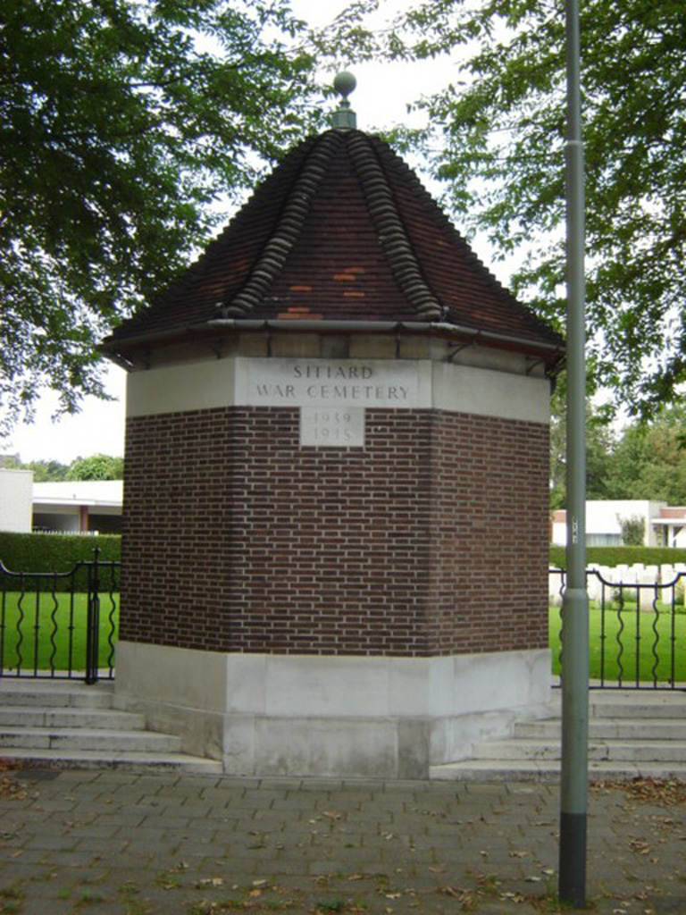
Sittard War Cemetery
- Country Netherlands
- Total identified casualties 234 Find these casualties
- Region Limburg (Netherlands)
- Identified casualties from Second World War
- GPS Coordinates Latitude: 50.98906, Longitude: 5.85439
Location information
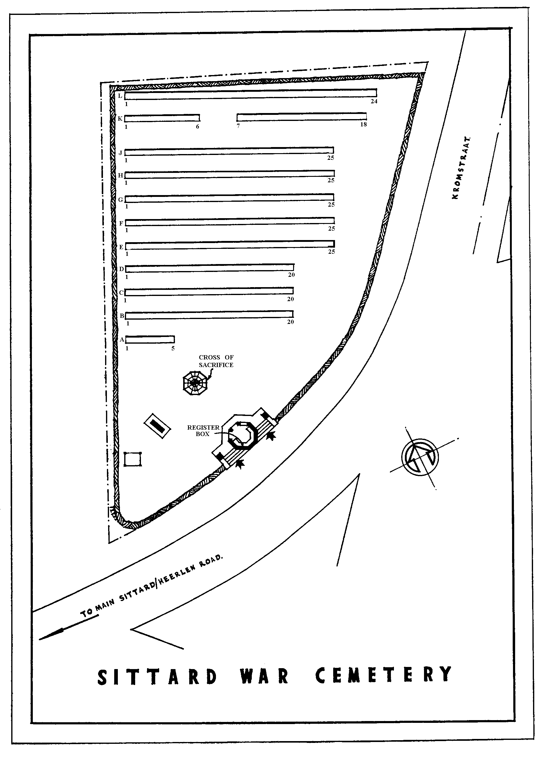
The town of Sittard is in the south east corner of the Netherlands close to the German border, and approx 25kms north east of Maastricht. From the A2 motorway Eindhoven to Maastricht take exit 48 (afrit 48) URMOND / GELEEN / STEIN. Follow the direction N294 SITTARD for approx 4kms. Turn right onto N276 direction SITTARD-ZUID and continue for approx 1km. Turn right SITTARD ZUID / GELEEN and follow the signs for SITTARD ZUID. Turn left onto RIJKSWEG ZUID and continue for approx 1km, passing under the railway bridge. Turn right (CWGC sign) onto GEUWEG and after 50m turn right (CWGC sign) onto KROMSTRAAT. The cemetery can be found after approx 400m on the right The cemetery address is:- Kromstraat 6133 Sittard Netherlands GPS Location is:- N 50 59 21 E 05 51 16
History information
The burials in the cemetery, apart from a few dating from November 1944, are almost all from the months of January and February 1945. The men buried here belong mostly to the Scottish regiments of the 52nd (Lowland) Division, engaged in the battle in this vicinity from 18th to 24th January 1945, which had as its object the clearing of a salient west of the River Roer which was still held by the Germans. There are now over 230 1939-1945 War casualties commemorated in this site.