St. Desir War Cemetery
- Country France
- Total identified casualties 594 Find these casualties
- Region Calvados
- Identified casualties from First & Second World War
- GPS Coordinates Latitude: 49.13847, Longitude: 0.16305
Location information
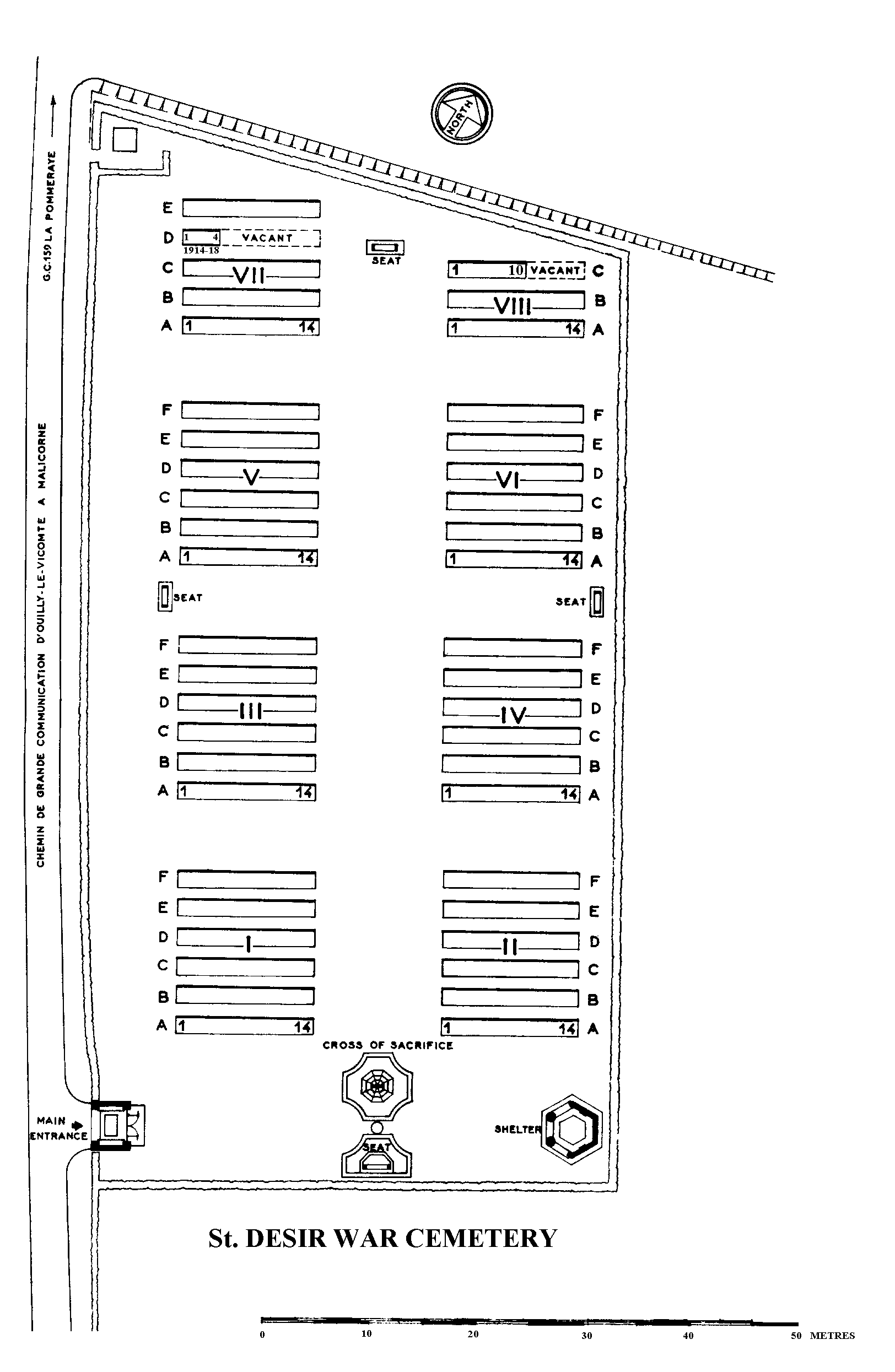
St Desir is a village on the N13 to Caen, 4 kilometres west of Lisieux. The war cemetery is about one kilometre west of the village and lies on a secondary road, the D159.
Visiting information
ARRIVAL
The route to the cemetery is signposted.
PARKING
There is a large car park with space for multiple vehicles on the right side of the cemetery, off Route de la Vierge (D159)
There is a metal bar limiting the height of vehicles to 2.20 metres. The car park surface is compacted gravel.
Access into the cemetery from the car park is either through the main entrance off the main road or through an alternative entrance from the car park at the bottom end of the cemetery.
There is an accessible parking space reserved at the bottom end of the car park near the pathway leading to the German Cemetery.
ACCESS LAYOUT AND MAIN ENTRANCE
The cemetery is a large rectangular shape running parallel to the main road. There is a shallow concrete gulley running the length of the side of the road, with compacted gravel between the gulley and main entrance.
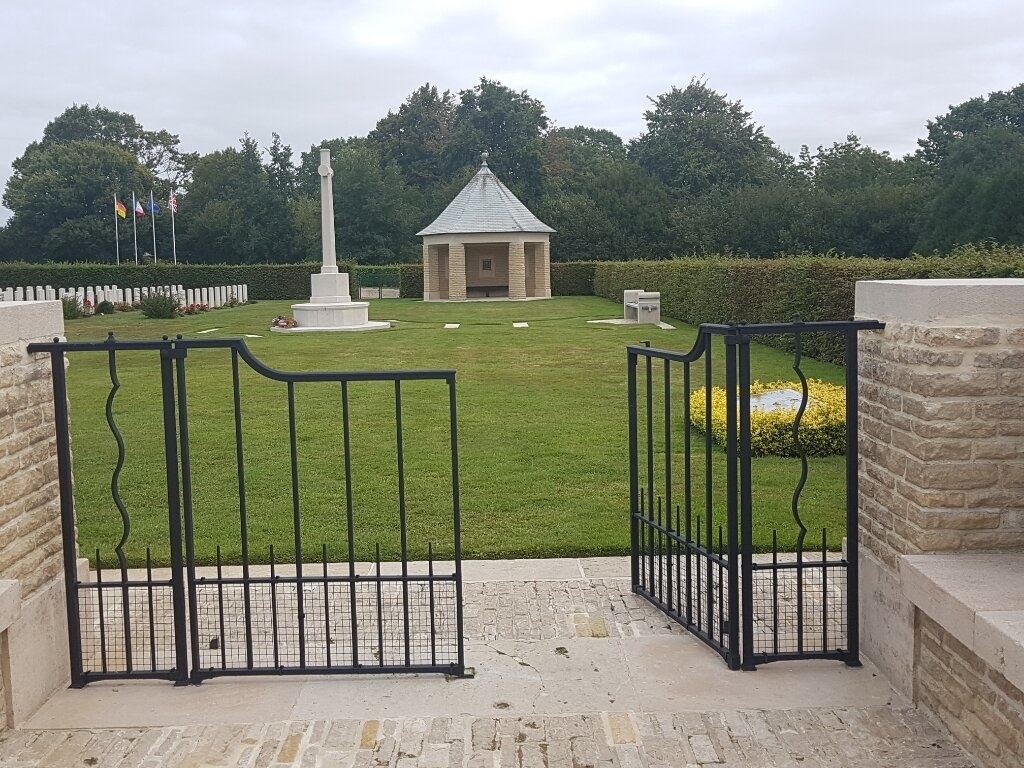
There is a mid-level, 900 mm tall, grey metal gate at the main entrance. The latched, two-section gate opens inwards into the cemetery. The gate is 1.50 metres wide and is on a combination of brick and stone paving between the main road and the cemetery. There are stone benches built into the side walls of the entrance on either side of the gate.
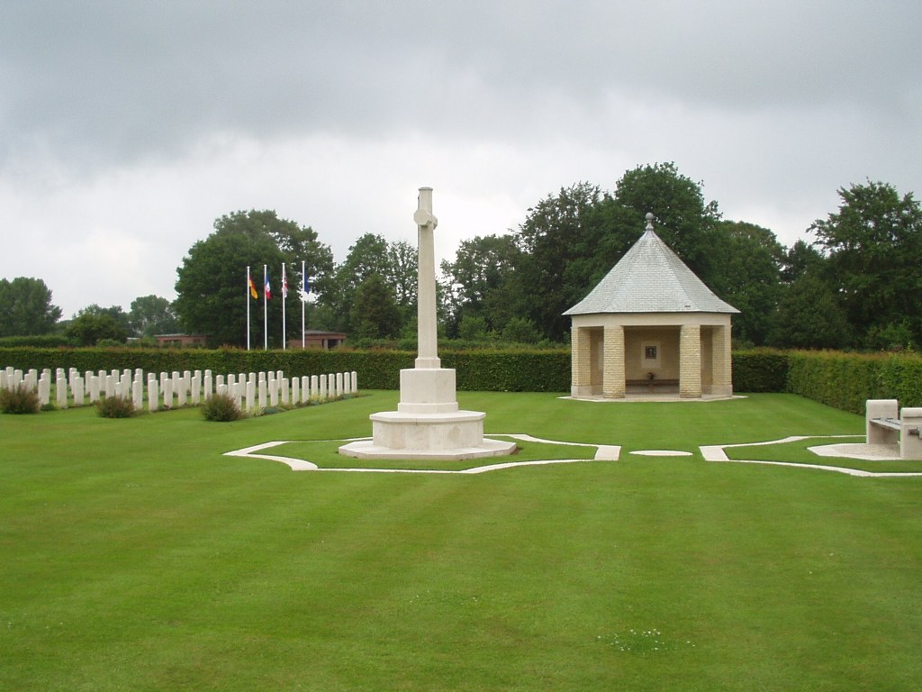
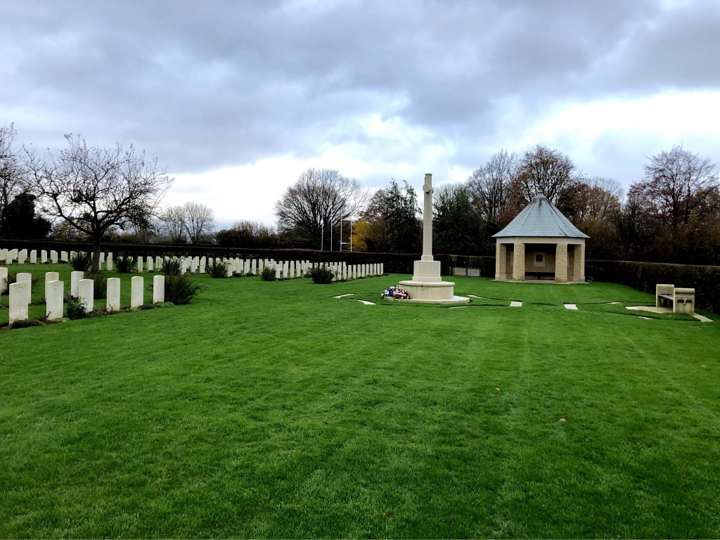
The Cross of Sacrifice is midway between the entrance and the shelter building along the lower end of the cemetery. There is a stone and timber seat directly behind the Cross of Sacrifice, with brick paving underneath, against the cemetery boundary. Both the seat and Cross of Sacrifice are surrounded by stone kerbs flush with the grass.
The Register Box is located inside the hexagonal shelter building at the bottom right corner of the cemetery. There is a long timber bench inside. A single shallow step up of approximately 50mm from the three open sides of the shelter leads into the building.
There are multiple seating areas around the cemetery, including benches at midpoints along all boundaries of the site.
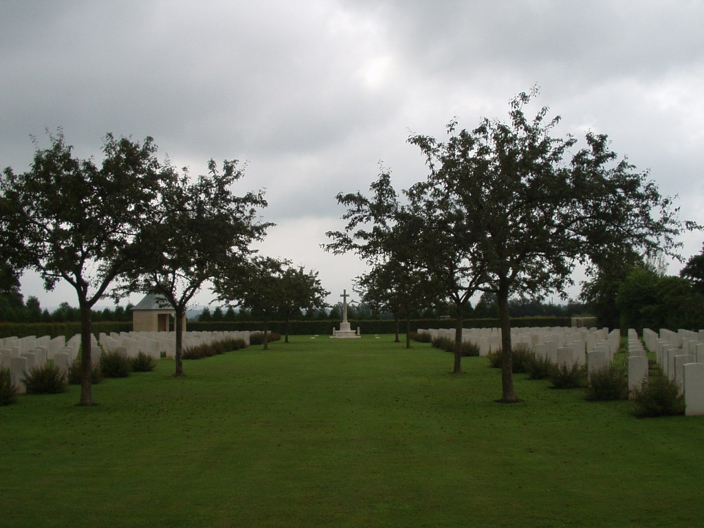
All the internal cemetery paths are grass, the ground is flat and firm.
ALTERNATIVE ACCESS
There is an entrance into the cemetery from the bottom of the car park, behind the cemetery shelter building. Access is through a large green access gate, each leaf approximately two metres wide. The right-hand gate opens inwards.
A wide compacted gravel path leads to the German cemetery. Approximately ten metres from the gate is a CWGC access gate that leads into the cemetery. The double gate is approximately 1.8 metres wide and is opened by a lever handle. The right section opens inwards, and the other section can also be opened by lifting a vertical lever handle at the base of the gate.
ADDITIONAL INFORMATION
The cemetery is permanently open.
There is an interconnecting path between St Desir War Cemetery and St Desir-de-Lisieux German War Cemetery at the rear of the car park.
The path is flat and firm with a compacted gravel surface.
History information
The Allied offensive in north-western Europe began with the Normandy landings of 6 June 1944.
St Desir War Cemetery is the most easterly of the the Normandy cemeteries. For the most part, those buried here died in the final stages of the campaign, in pursuit of the German forces towards the Seine.
The cemetery contains 598 Commonwealth burials of the Second World War. 78 of these graves were brought in from Chartres (St Cheron) Communal Cemetery after the war, together with the four First World War burials now at St Desir.