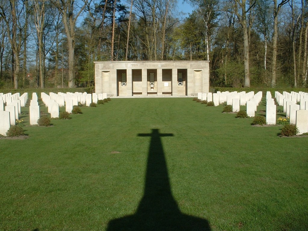
Sage War Cemetery
- Country Germany
- Total identified casualties 816 Find these casualties
- Region Niedersachsen
- Identified casualties from Second World War
- GPS Coordinates Latitude: 52.93685, Longitude: 8.20857
Location information
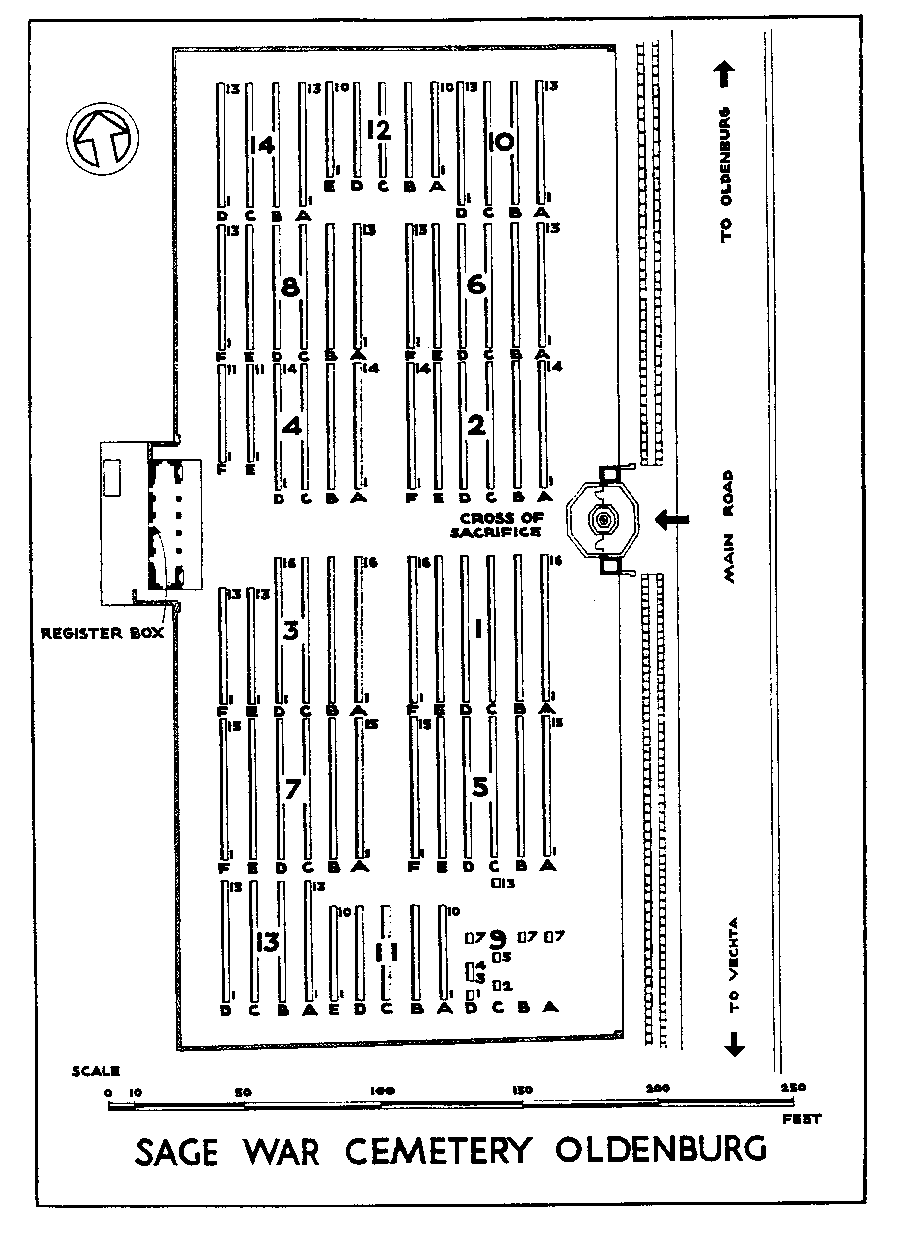
The small village of Sage lies in the north of Germany approx 56kms west of Bremen. From the A1 motorway Bremen to Osnabruck take exit 61 (Ausfahrt 61) WILDENHAUSEN-WEST / AHLHORN and follow direction B213 AHLHORN. Continue along the B213 for approx 8kms and go through the village of AHLHORN. Turn right at the roundabout direction L870 OLDENBURG (CWGC sign) and continue along the OLDENBURGERSTRASSE. The road name then changes to SAGERSTRASSE for approx 4kms. The cemetery can be found on the left. The cemetery address is:- Sagerstrasse 26197 Grossenkneten-Sage Germany GPS Location is:- N 52 56 12 E 08 12 30
Visiting information
Wheelchair access is possible via the main entrance. For further information regarding wheelchair access, please contact our Enquiries Section on telephone number 01628 507200.
History information
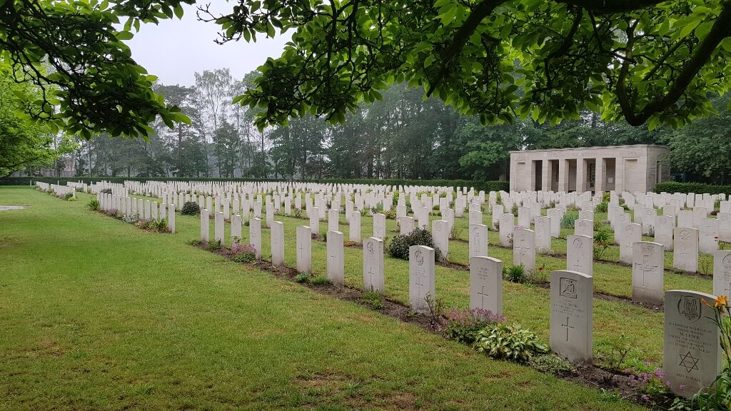
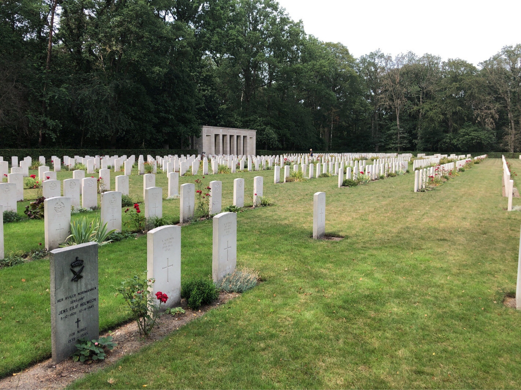
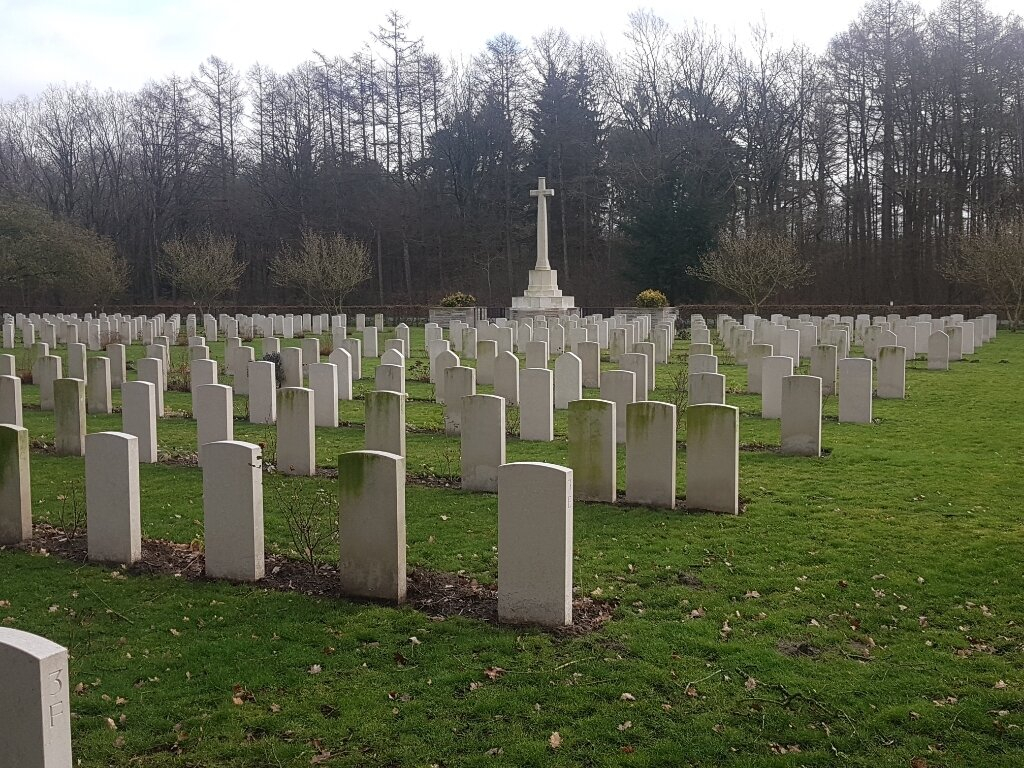
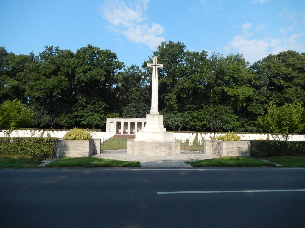
Sage was on the line of the Allied advance across northern Germany in 1945 but most of those buried at Sage War Cemetery were airmen lost in bombing raids over northern Euope whose graves were brought in from cemeteries in the Frisian Islands and other parts of north-west Germany.
Sage War Cemetery contains 948 Commonwealth burials of the Second World War, 158 of them unidentified. There are also 23 war graves of other nationalities, most of them Polish.