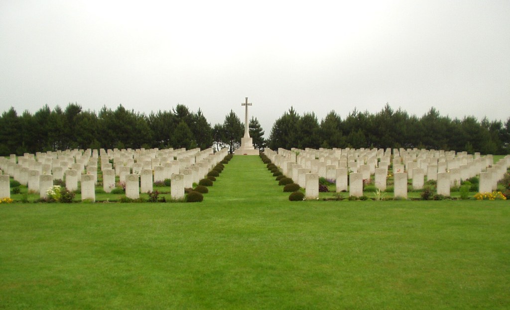
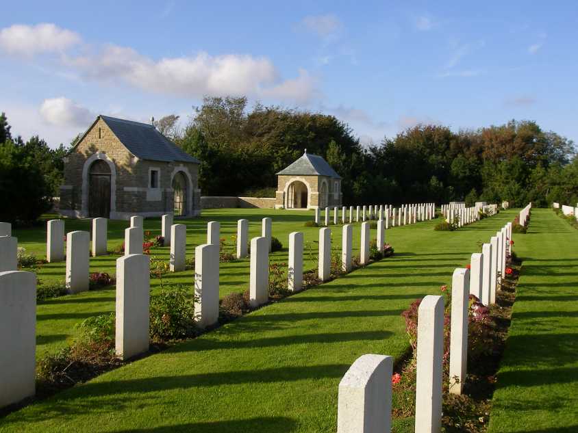
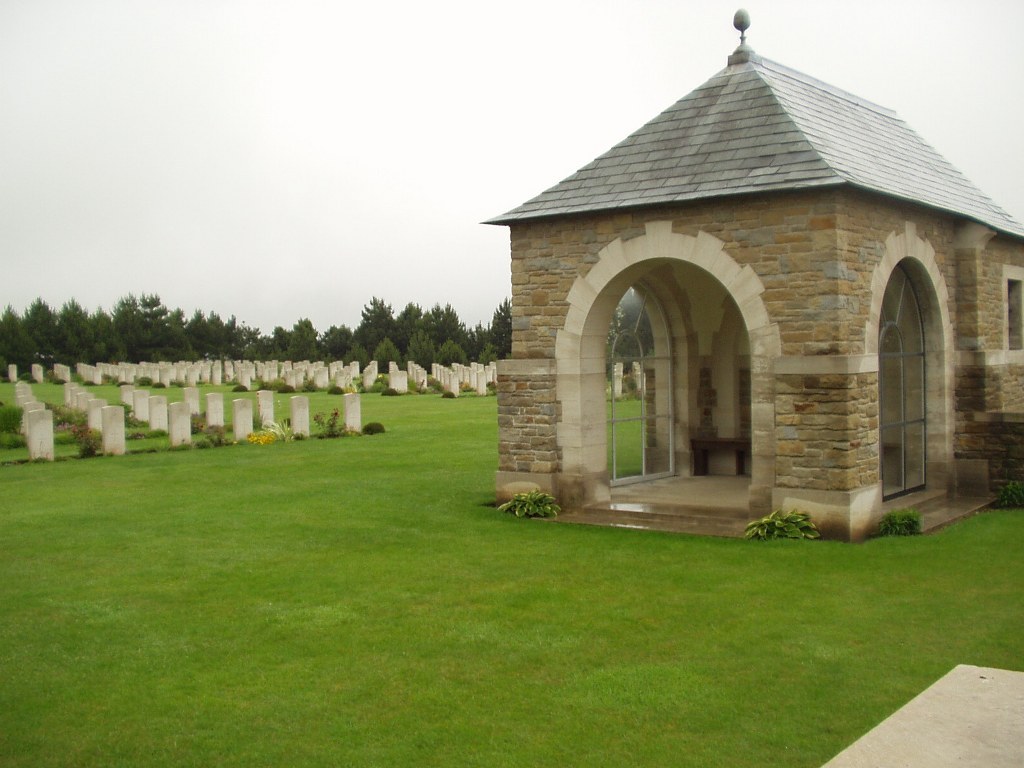
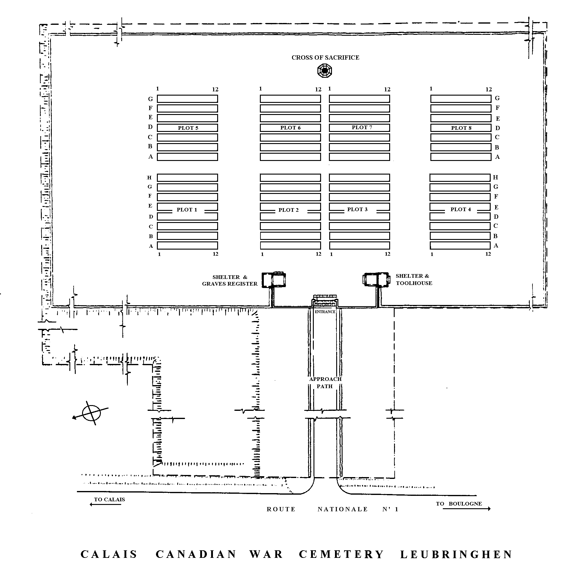
Calais Canadian War Cemetery, Leubringhen
- Country France
- Total identified casualties 700 Find these casualties
- Region Pas de Calais
- Identified casualties from Second World War
- GPS Coordinates Latitude: 50.8616, Longitude: 1.73788
Location information
Leubringhen is a village halfway between Calais and Boulogne. The Calais Canadian War Cemetery is on the east side of the Calais-Boulogne road (A16/E402), 14 kilometres from Calais. From Calais, leave the motorway at Junction 38 and head towards St Inglevert. From St Inglevert take the D244 road for Leubringhen. After approximately 1 kilometre, take the first left turn, which will take you over the motorway, and follow the road for approximately 250 metres. The cemetery parking area will be found on the left.
History information
Calais was liberated by the Canadian First Army early in September 1944 as they advanced up the French coast into Belgium in pursuit of retreating German forces. Most of the burials in the cemetery relate to this period of fighting.
Calais Canadian War Cemetery contains 704 Commonwealth burials of the Second World War, 30 of them unidentified. There are also six Czech and 19 Polish war graves.
The cemetery was designed by Philip Hepworth.