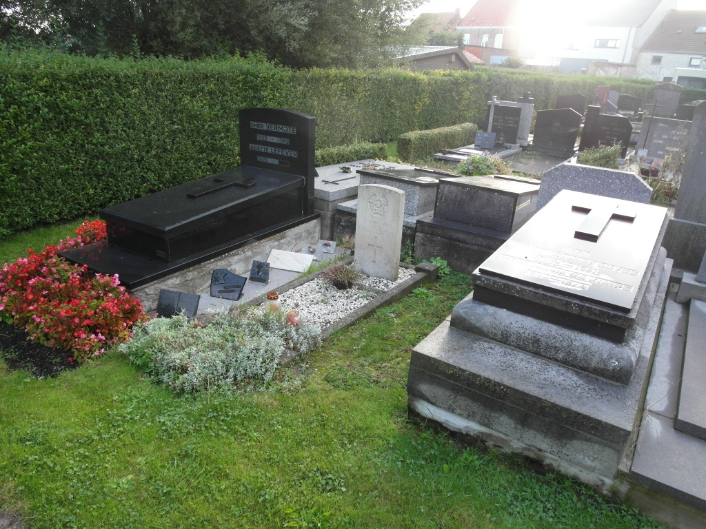
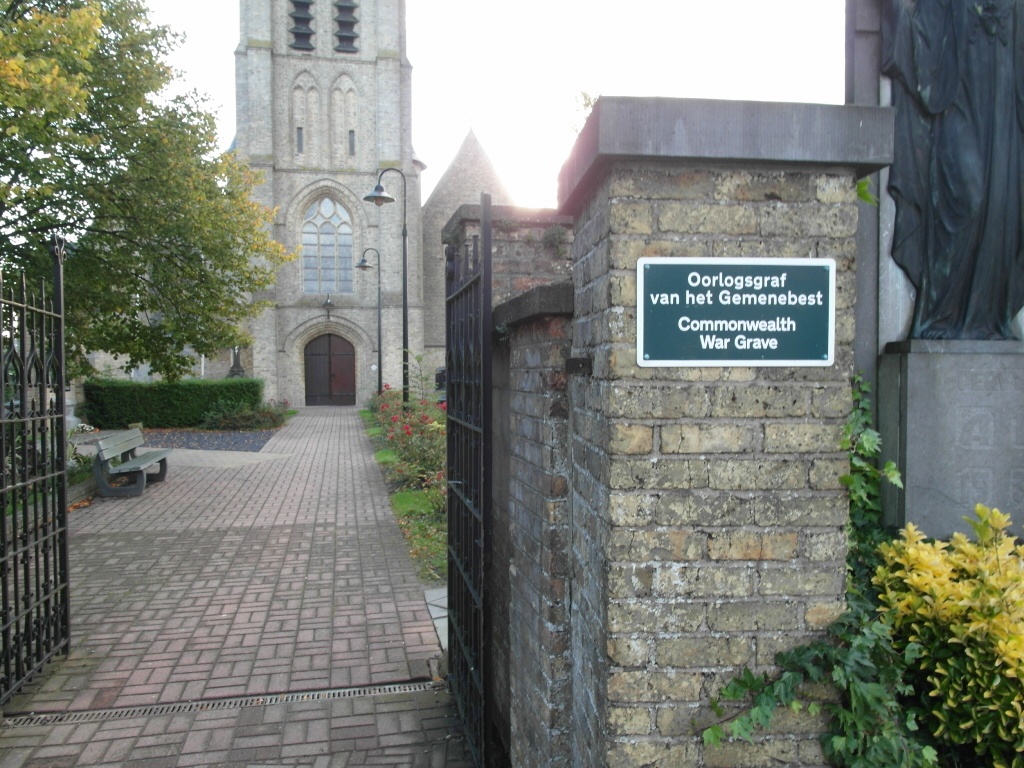
Pervijze Churchyard
- Country Belgium
- Total identified casualties 1 Find these casualties
- Region West-Vlaanderen
- Identified casualties from Second World War
- GPS Coordinates Latitude: 51.07346, Longitude: 2.79455
Location information
The village of Pervijze is located 10 kilometres east of the town of Veurne on the N35 road which runs between Veurne and Diksmuide (Dixmude). Driving from Veurne follow the N35 to the village and you come to a road junction where the N35 goes round to the right, go straight over into Schoorbakkestraat and the church is on the left off the small market place. The single Commonwealth war grave is located to the left of the church.
History information
The British Expeditionary Force was involved in the later stages of the defence of Belgium following the German invasion in May 1940, and suffered many casualties in covering the withdrawal to Dunkirk. Commonwealth forces did not return until September 1944, but in the intervening years, many airmen were shot down or crashed in raids on strategic objectives in Belgium, or while returning from missions over Germany. Pervijze Churchyard contains the grave of one Commonwealth airman of the Second World War.