Wulveringem Churchyard
- Country Belgium
- Total identified casualties 12 Find these casualties
- Region West-Vlaanderen
- Identified casualties from Second World War
- GPS Coordinates Latitude: 51.01535, Longitude: 2.65497
Location information
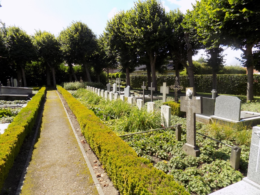
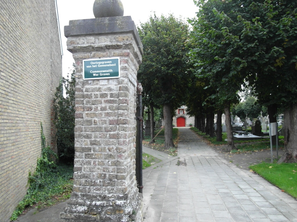
Wulveringhem Churchyard is located 6 km south west of Veurne on the Moeresteenweg, a road leading from the N8 connecting Veurne to Ieper. From Veurne the N39 leads for 500 metres along the N39 towards Adinkerke. The N39 then meets the left hand turning onto the N8 towards Ieper. 2 Km along the N8 lies the right hand turning onto the Bulskampstraat which passes through the village of Bulskamp (2 km) and on via the Moersteenweg to Wulveringhem. (Following signs for Vinkem). On reaching the village the cemetery is located on the Gouden Hoofdstraat.The war graves are located in the front part of the churchyard to the right of the main path as you approach the church.
History information
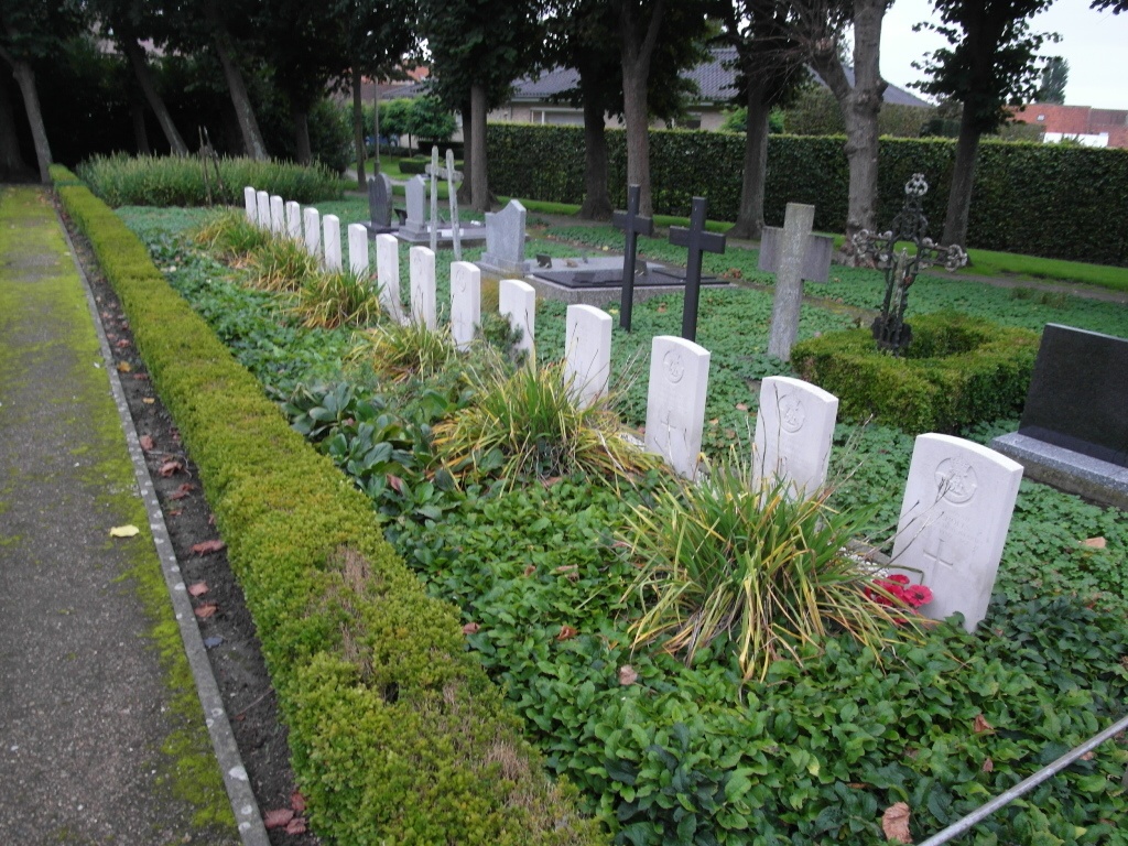
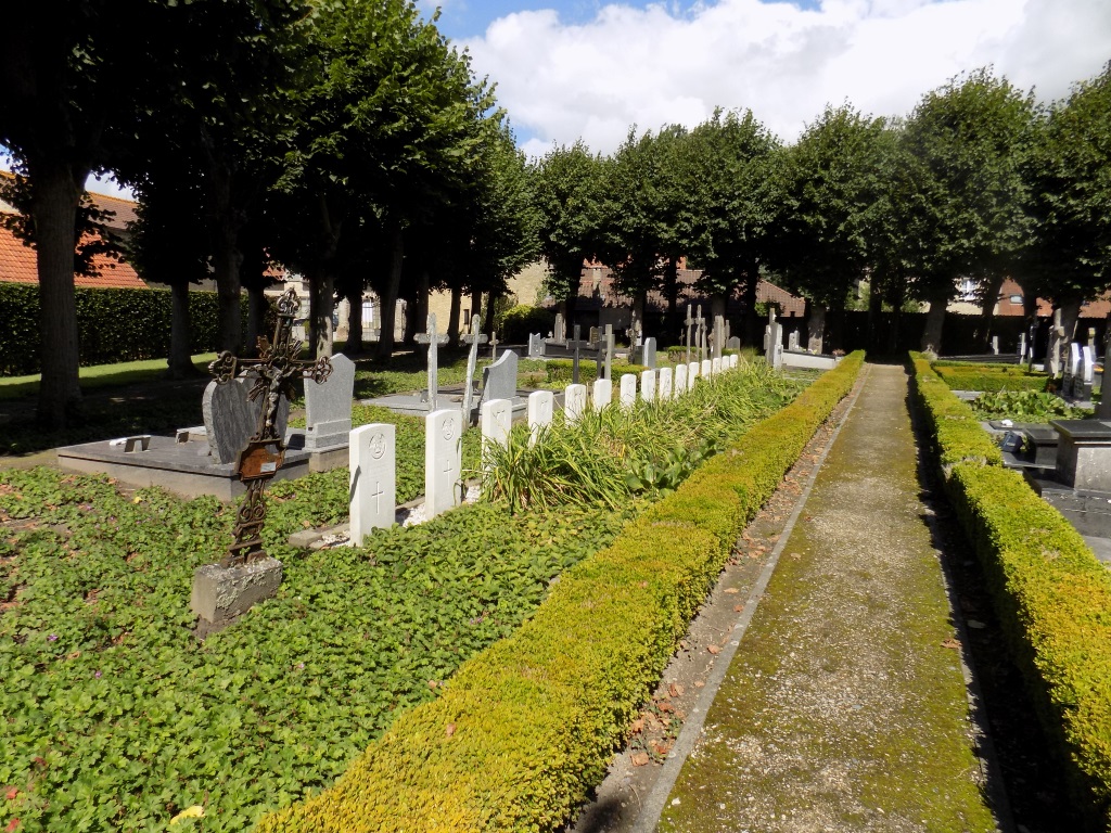
The British Expeditionary Force was involved in the later stages of the defence of Belgium following the German invasion in May 1940, and suffered many casualties in covering the withdrawal to Dunkirk. Wulveringem Churchyard contains 15 Commonwealth burials of the Second World War, three of them unidentified.