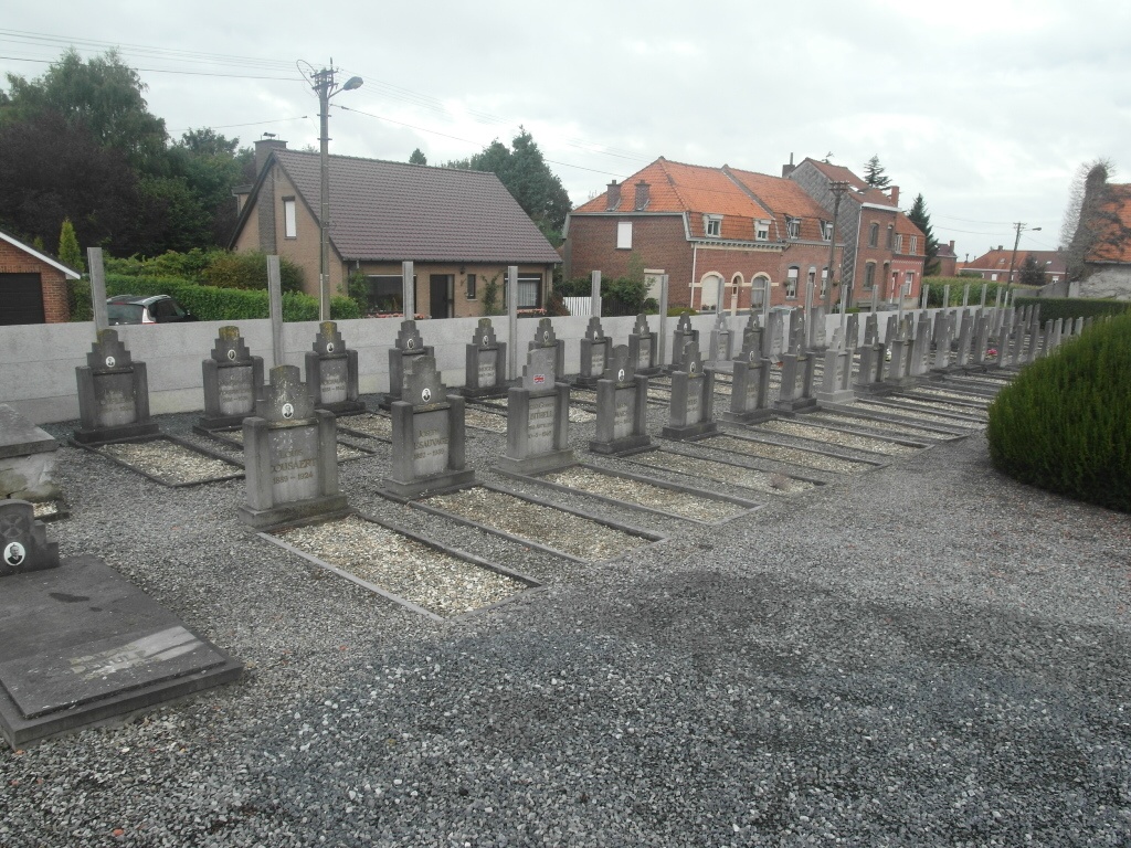
Blandain Communal Cemetery
- Country Belgium
- Total identified casualties 1 Find these casualties
- Region Hainaut
- Identified casualties from Second World War
- GPS Coordinates Latitude: 50.62612, Longitude: 3.30866
Location information
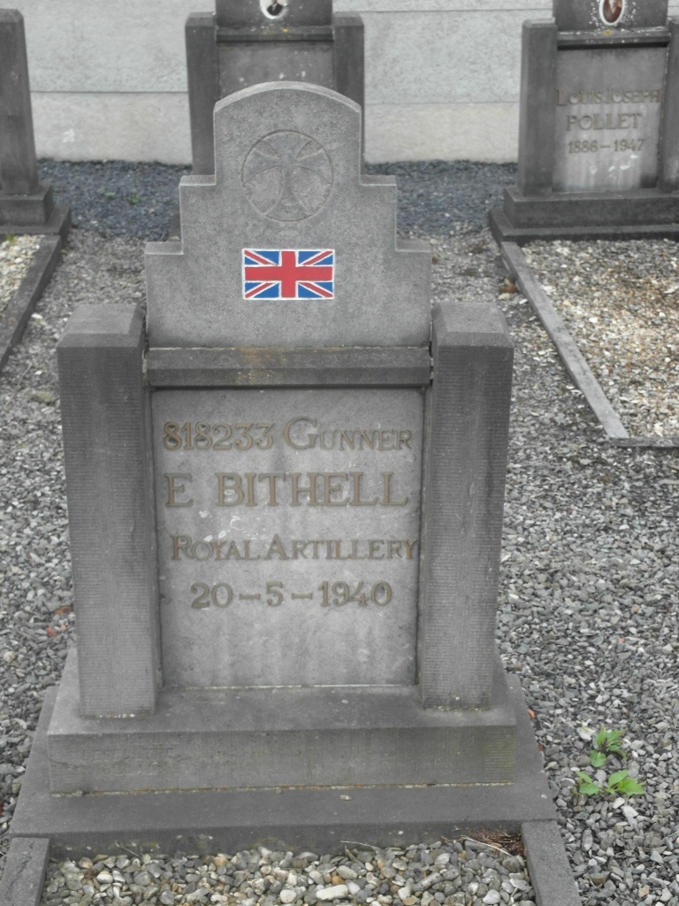
The town of Blandain is located north-west of the town of Tournai on the A17. From Kortrijk follow the A17 direction Tournai. At the junction with the road to the village of Templeuve turn right towards Templeuve. Follow the road into the village centre turning left at the T junction opposite the church to join the N509 to Blandain. Entering Blandain on the rue des Deportes take the first turning left into rue de Cimetiere and the cemetery is along on the left. The grave is located in the Belgian Military plot to the left of the entrance and is marked by a Private Memorial.
History information
The British Expeditionary Force was involved in the later stages of the defence of Belgium following the German invasion in May 1940, and suffered many casualties in covering the withdrawal to Dunkirk. Blandain Communal Cemetery contains one Commonwealth burial of the Second World War.