Chaussee-Notre-Dame-Louvignies Communal Cemetery
- Country Belgium
- Total identified casualties 1 Find these casualties
- Region Hainaut
- Identified casualties from Second World War
- GPS Coordinates Latitude: 50.59457, Longitude: 3.9951
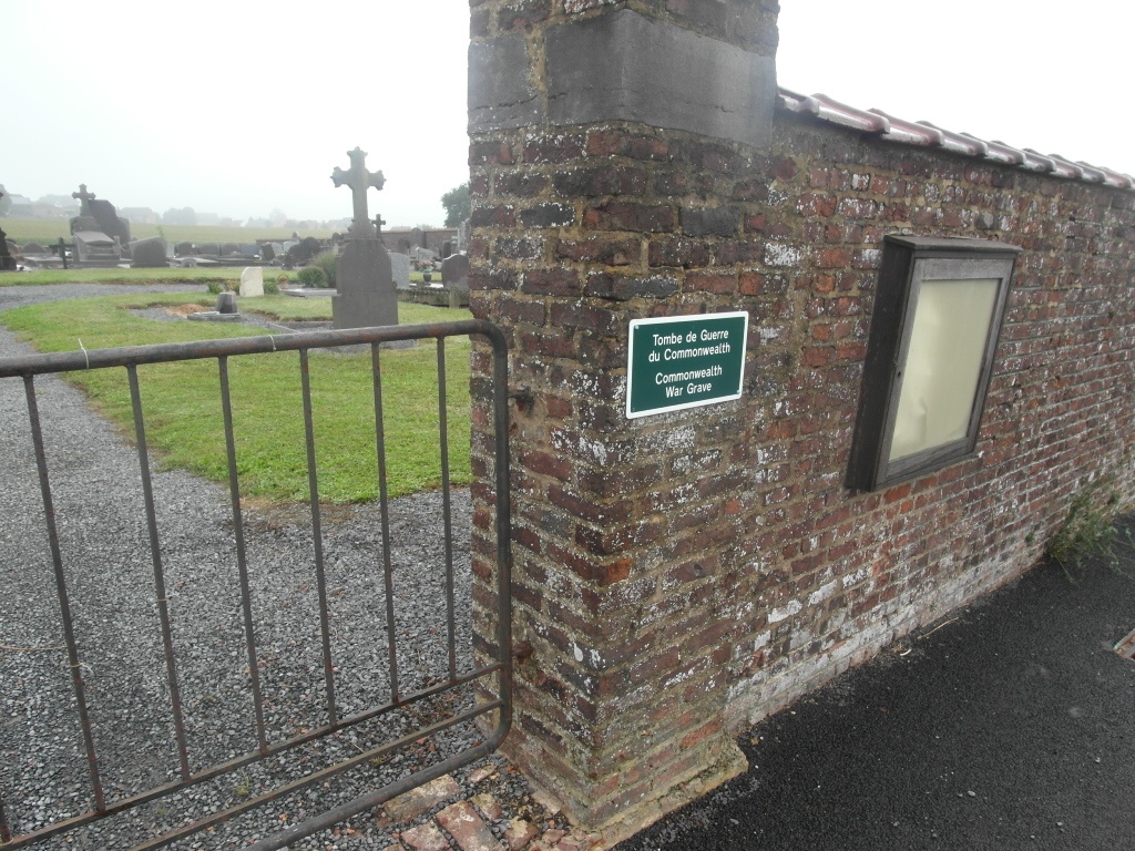
Location information
The village of Chaussee-Notre-Dame- Louvignies is located north of the town of Soignies off the N57. From the motorway A8 which runs between Brussels and Ath turn off onto the N55 direction Soignies. Follow this road to the junction with the N57 and turn onto the N57 direction Ath. Follow the N57 to a crossroads, Horrues is to the right and Louvignies to the left. Turn left into Chemin de l'Ardoisier and follow to the T junction. Turn left at the junction into rue Joseph Quintart and then first turning right into Rue Fouly, the cemetery is along on the right. The grave is located in the centre to the left of the main path.
History information
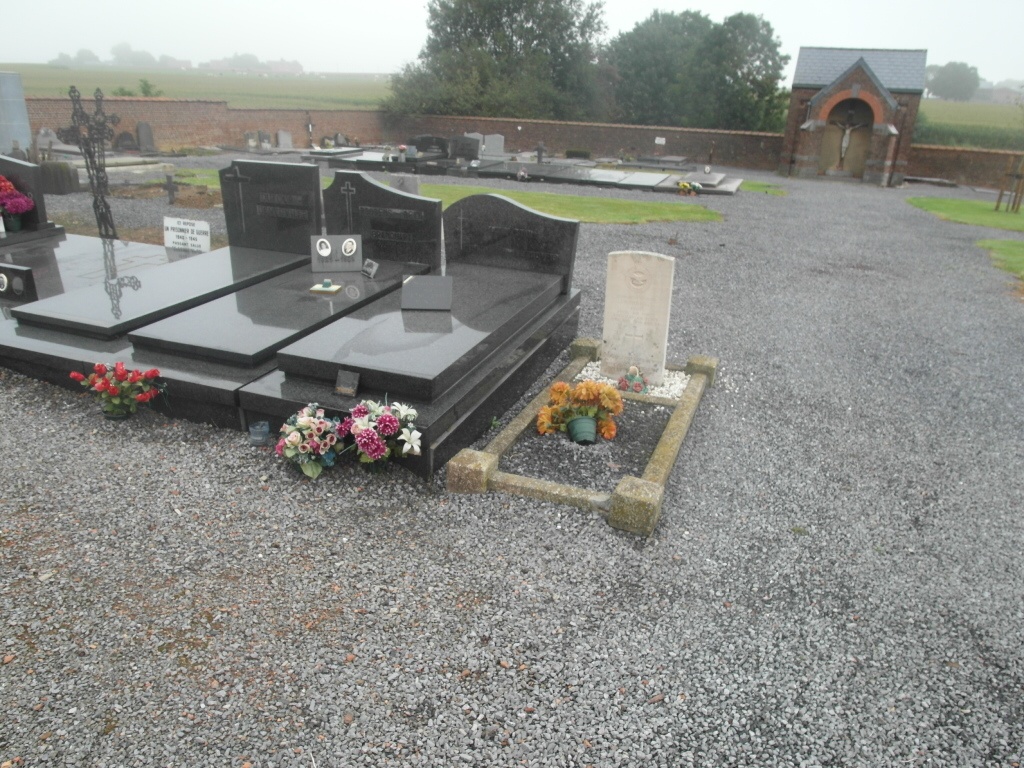
The British Expeditionary Force was involved in the later stages of the defence of Belgium following the German invasion in May 1940, and suffered many casualties in covering the withdrawal to Dunkirk. Commonwealth forces did not return until September 1944, but in the intervening years, many airmen were shot down or crashed in raids on strategic objectives in Belgium, or while returning from missions over Germany. This communal cemetery contains the grave of one Commonwealth airman of the Second World War.