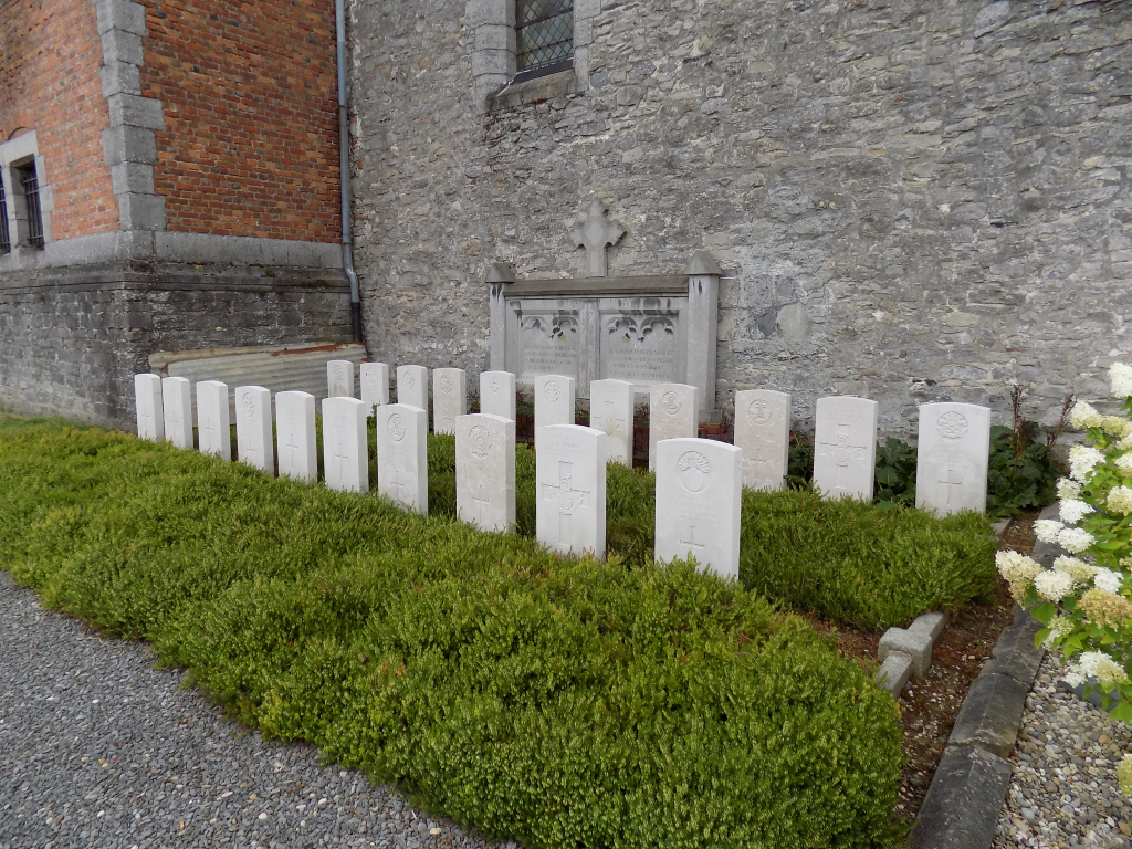
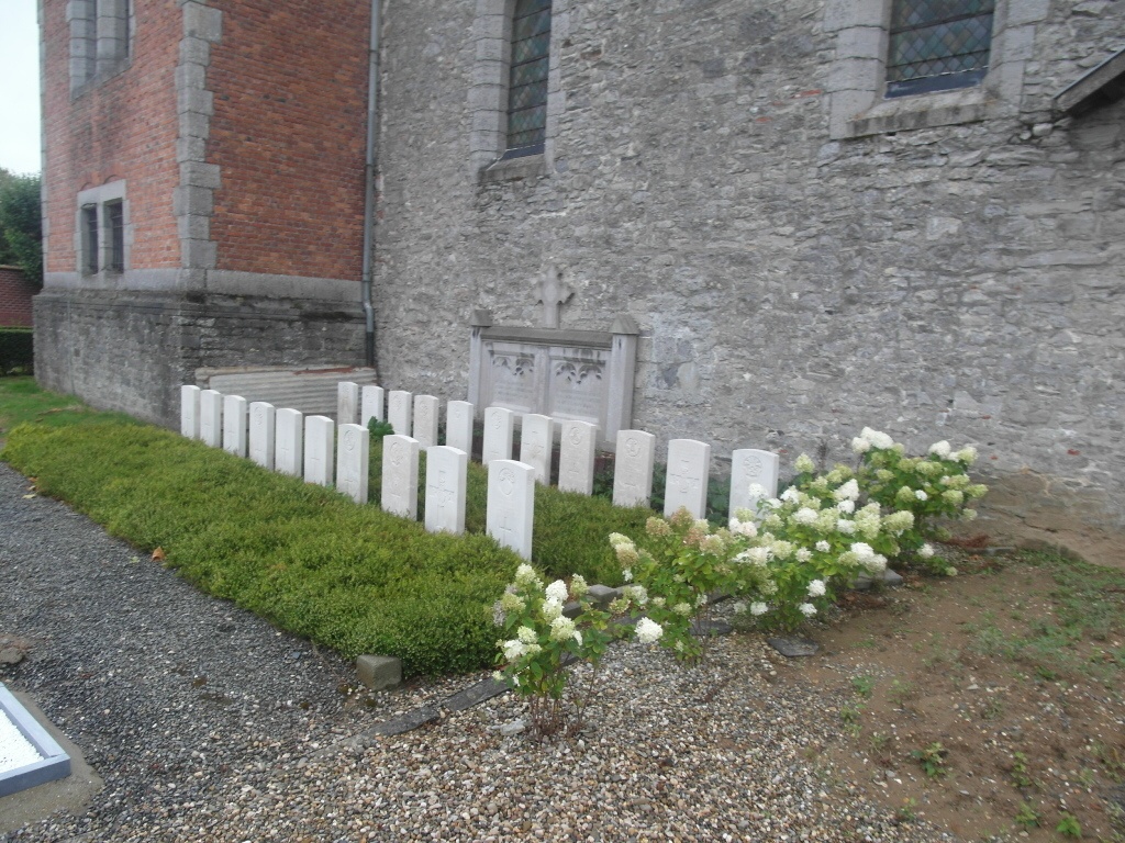
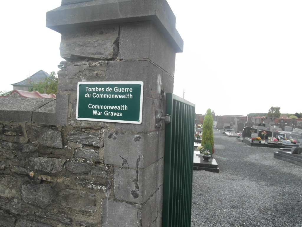
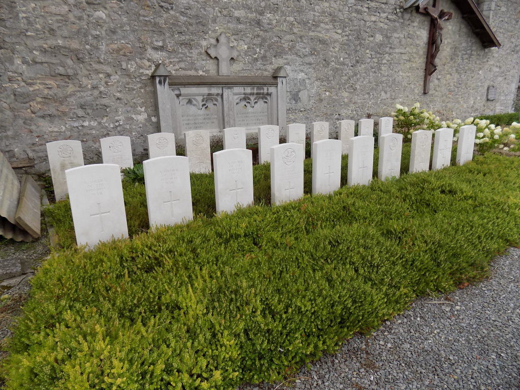
Ramegnies-Chin Churchyard
- Country Belgium
- Total identified casualties 16 Find these casualties
- Region Hainaut
- Identified casualties from Second World War
- GPS Coordinates Latitude: 50.65141, Longitude: 3.33507
Location information
Ramegnies-Chin Churchyard is located 7 kilometres north of Tournai on a road leading from the N50, which connects Tournai to Kortrijk (Courtrai). The Rue De Templeuve leads from the N50, Chaussee De Tournai, towards the village of Rameques. 400 metres along the road lies the right hand turning onto Avenue de Picardie, which leads to the village square. The churchyard is located shortly after the village square on the Rue de Wattrelos.
Visiting information
Wheelchair access possible via main entrance. For further information regarding wheelchair access, please contact our Enquiries Department on telephone number: 01628 634221
History information
The British Expeditionary Force was involved in the later stages of the defence of Belgium following the German invasion in May 1940, and suffered many casualties in covering the withdrawal to Dunkirk. Ramegnies-Chin Churchyard contains 21 Commonwealth burials of the Second World War, six of them unidentified.