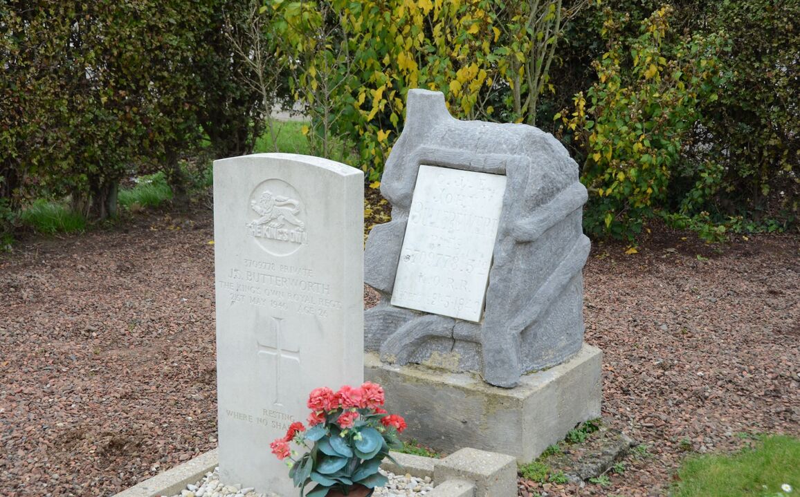
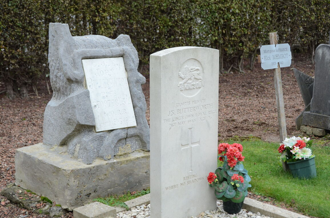
Anstaing Communal Cemetery
- Country France
- Total identified casualties 1 Find these casualties
- Region Nord
- Identified casualties from Second World War
- GPS Coordinates Latitude: 50.60758, Longitude: 3.18747
Location information
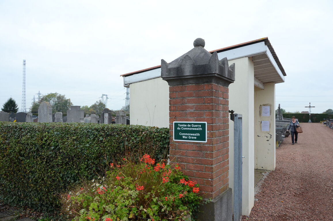
Anstaing is a village and commune 8 kilometres south-east of Lille, on the N.41 road to Tournai. The cemetery is on the north-western side of the village, on a minor road leading from the main Lille-Tournai road (N.41).
History information
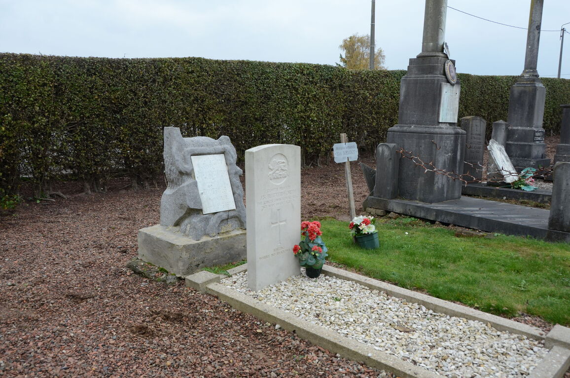
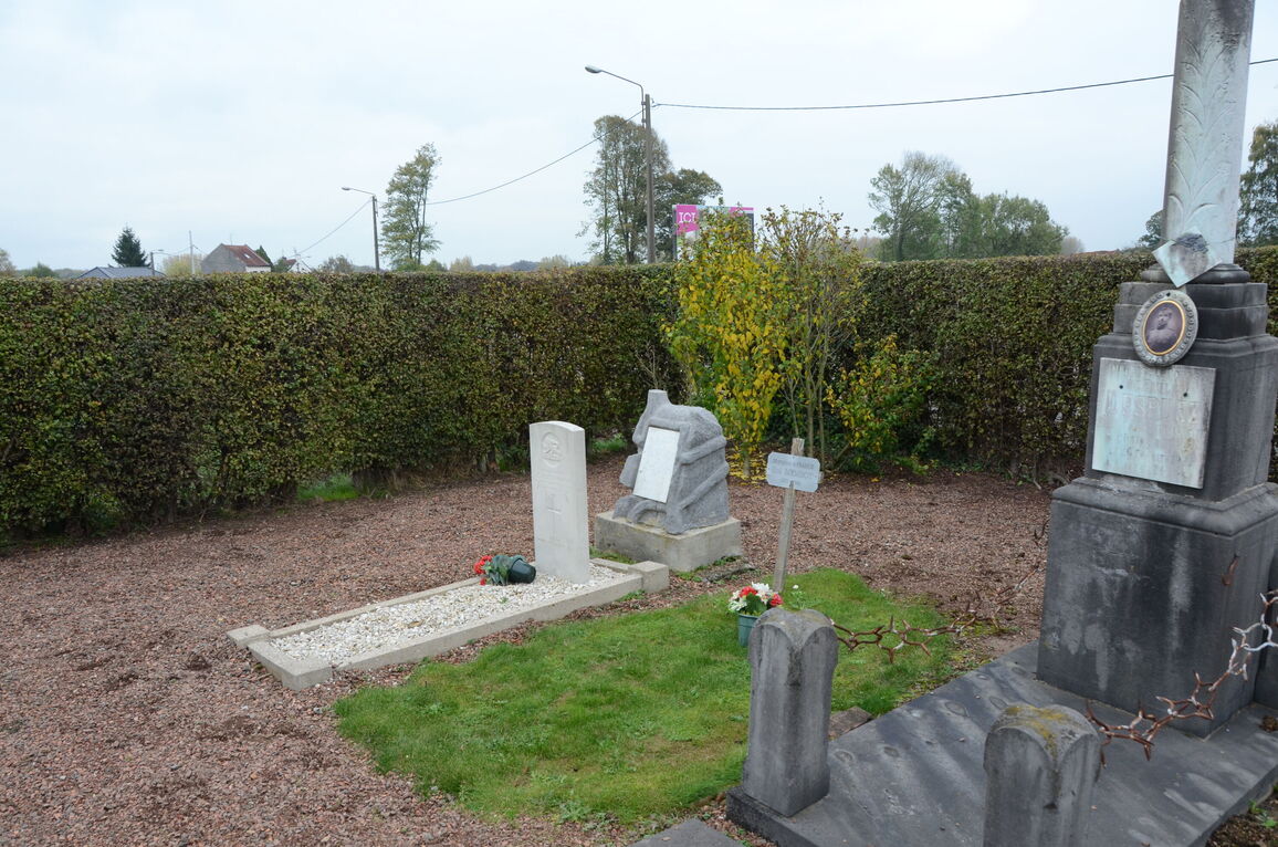
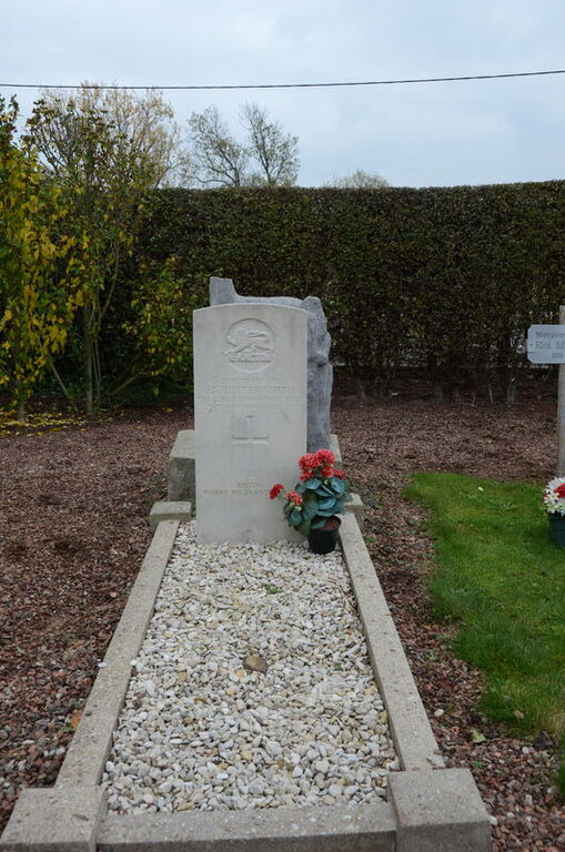
The British grave is in the north-eastern corner of the cemetery.