Arleux-En-Gohelle Communal Cemetery
- Country France
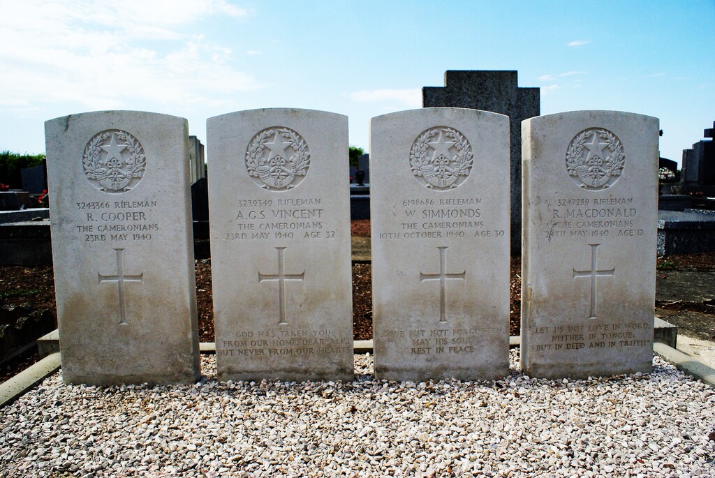
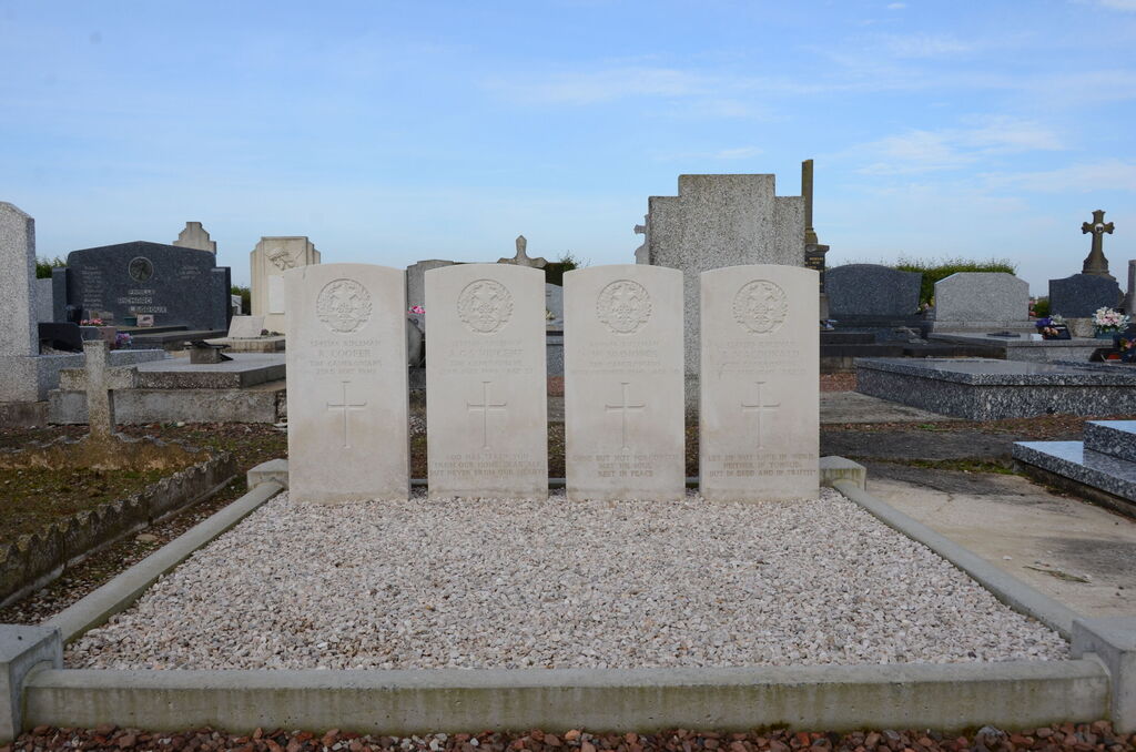
- Total identified casualties 4 Find these casualties
- Region Pas de Calais
- Identified casualties from Second World War
- GPS Coordinates Latitude: 50.36864, Longitude: 2.87306
Location information
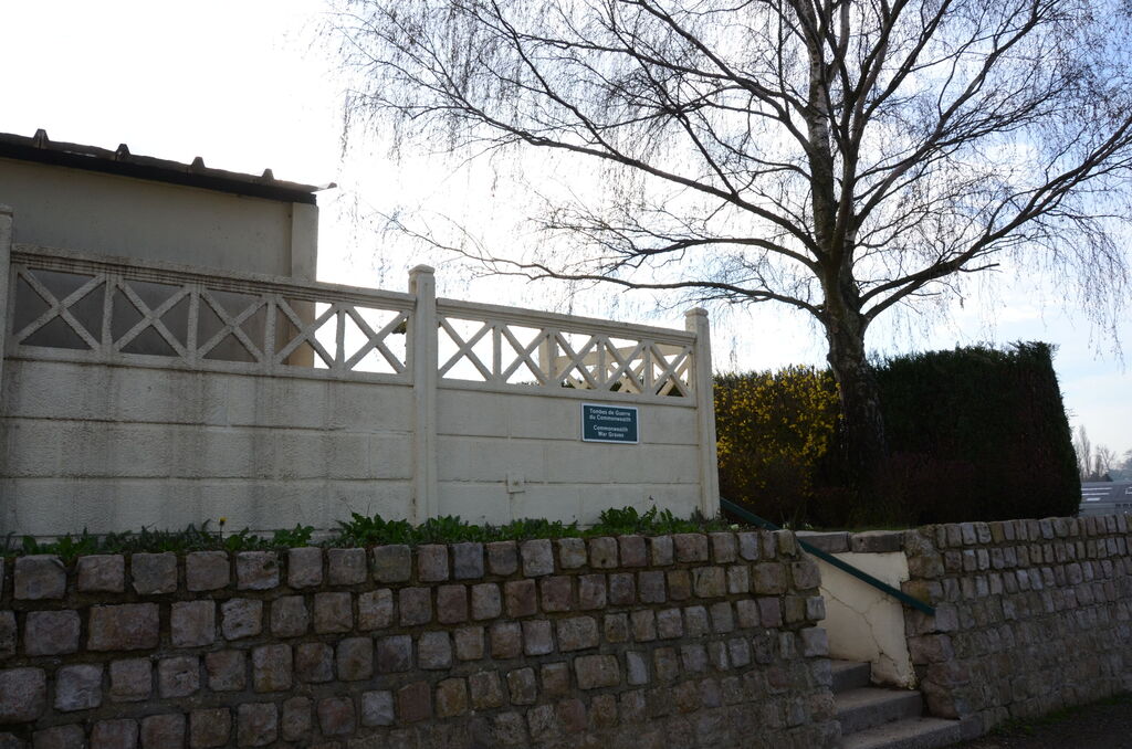
Arleux-en-Gohelle is a village and commune 7 miles (12 kilometres) north-east of Arras on the N.319 road to Henin-Lietard. The communal cemetery is on the northern side of the village, about 600 metres from the church. It lies on the right hand side of the cart track which runs north from the church.
History information
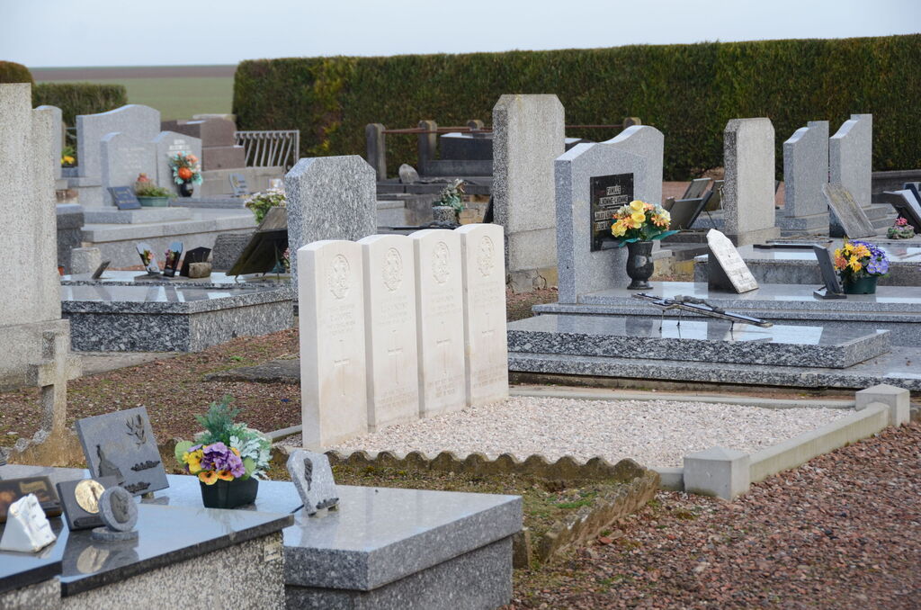
The four British graves are near the middle of the eastern boundary.