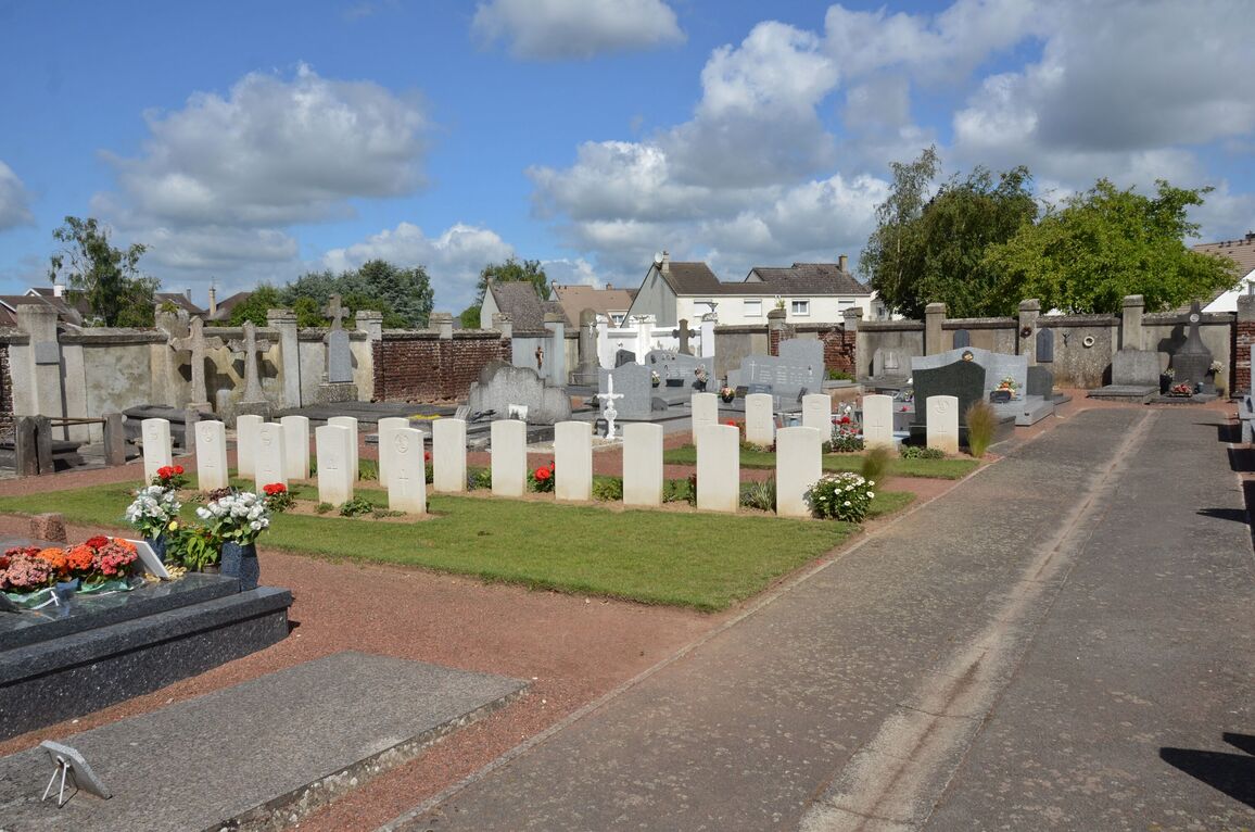
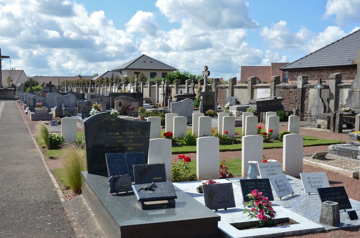
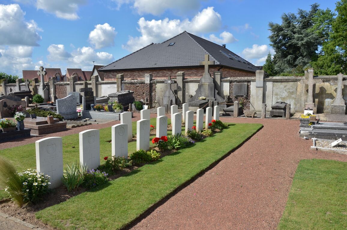
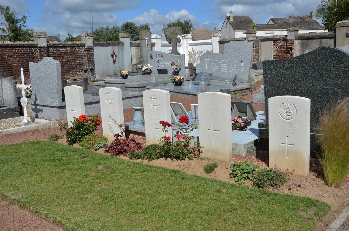
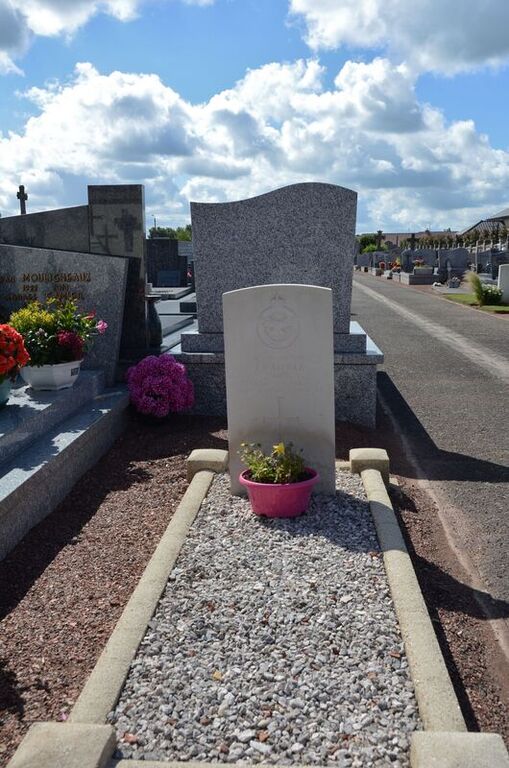
Beaurains Communal Cemetery
- Country France
- Total identified casualties 17 Find these casualties
- Region Pas de Calais
- Identified casualties from Second World War
- GPS Coordinates Latitude: 50.26557, Longitude: 2.79326
Location information
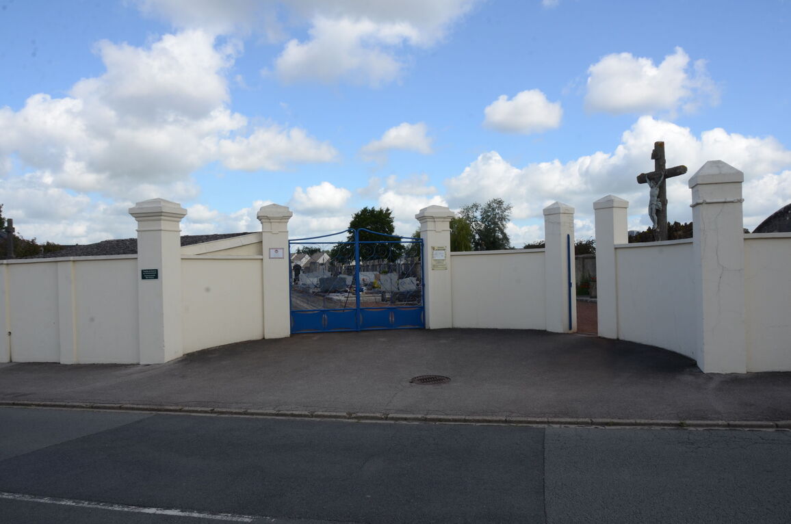
Beaurains is a village on the southern outskirts of Arras on the N37 road to Bapaume, and only 3 kilometres from Arras Station. The Comunal Cemetery is on the north-eastern side of the village on the road (D60) which leads to Tilloy-les-Mofflaines and the main Arras-Cambrai road.
History information
Most of the 21 Commonwealth burials in Beaurains Communal Cemetery date from May 1940, and the German advance through nothern France. Four of the burials are unidentified and one is commemorated by a special memorial inscribed " Believed to be".