Chelers Communal Cemetery
- Country France
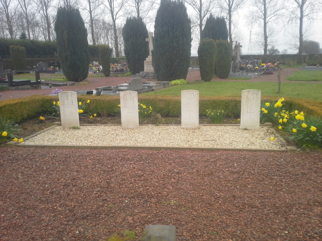
- Total identified casualties 4 Find these casualties
- Region Pas de Calais
- Identified casualties from Second World War
- GPS Coordinates Latitude: 50.37658, Longitude: 2.48074
Location information
Chelers is a village 22 kilometres west-north-west of Arras and 2 kilometres north of Tinques, a village on the north side of the road from Arras to St Pol. The Communal Cemetery is west of the village on the road to Monchy Breton.
History information
CHELERS COMMUNAL CEMETERY Index No. Fr. 242 Chelers is a small village and commune 13 miles (22 kilometres) west-north-west of Arras and 1 mile (2 kilometres) north of Tinques, a village on the north side of the N.39 road from Arras to St. Pol. The nearest railway station is at Tinques, but the service is poor and the most convenient manner of reaching Chelers is by taxi from Arras or St. Pol, which both have good road and rail services. The communal cemetery is west of the village on the D.77 road to the neighbouring village of Monchy-Breton. About 17 yards north-east of the crucifix in the main path are the graves of four soldiers from the United Kingdom.