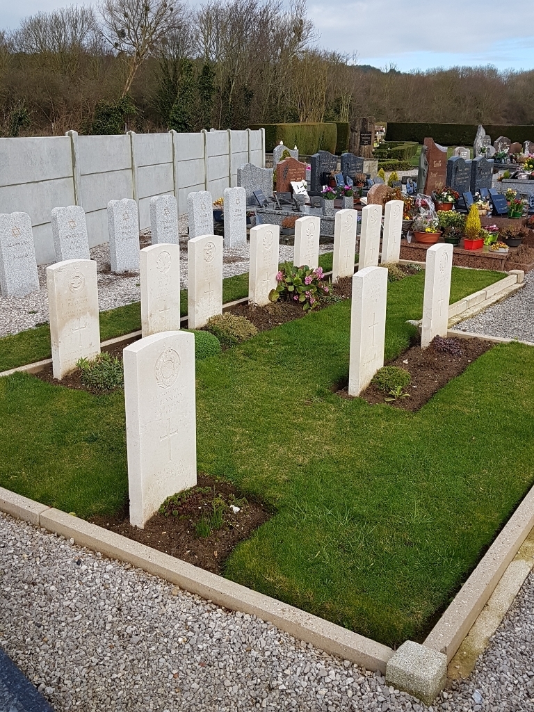
Dannes Communal Cemetery
- Country France
- Total identified casualties 4 Find these casualties
- Region Pas de Calais
- Identified casualties from Second World War
- GPS Coordinates Latitude: 50.59275, Longitude: 1.61907
Location information
Dannes is a village in the Department of the Pas-de-Calais 18 kilometres south of Boulogne-sur-Mer, on the road to Etaples. From the church head east on the main road out of the village. The communal cemetery is 500 metres on the left. There is a car park just after the cemetery. The Commonwealth burials are at the rear of the communal cemetery.
History information
There are now over 10, 1939-45 war casualties commemorated in this site. Of these, over half are unidentified.