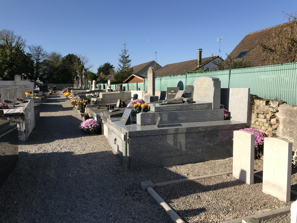
Marck Churchyard
- Country France
- Total identified casualties 2 Find these casualties
- Region Pas de Calais
- Identified casualties from Second World War
- GPS Coordinates Latitude: 50.95011, Longitude: 1.95785
Location information
Marck is a village and commune about 5 miles (7.5 kilometres) east of Calais on the Calais-Dunkirk road (N.40). The Calais-Dunkirk bus service passes through the village, which has a station on the Calais-Dunkirk railway line. Marck was considerably damaged during the war, and the church is still (1958) in ruins. The two British graves are in the north-eastern corner of the churchyard.