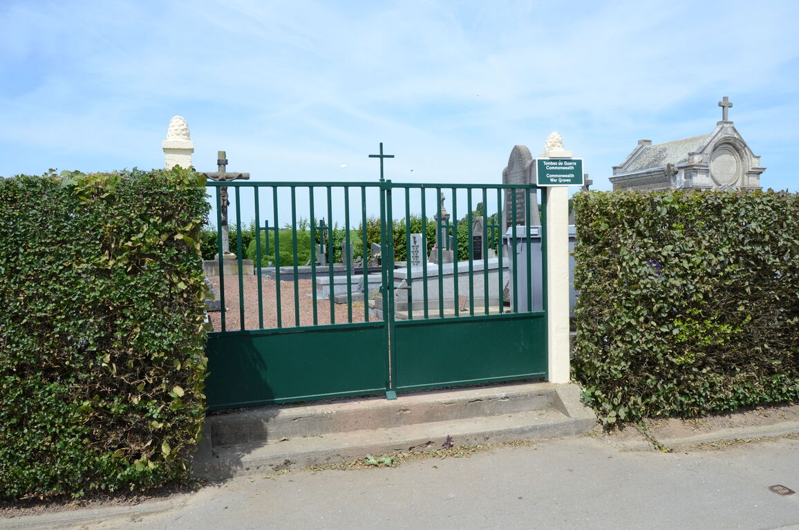
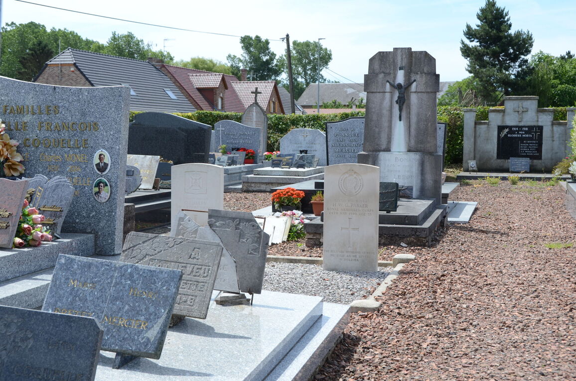
Villers-Les-Cagnicourt Communal Cemetery
- Country France
- Total identified casualties 2 Find these casualties
- Region Pas de Calais
- Identified casualties from Second World War
- GPS Coordinates Latitude: 50.22594, Longitude: 3.01626

Location information
Villers-les-Cagnicourt is a village and commune between Arras and Cambrai, about 18 kilometres from each and less than 1 kilometre from the main road (D.939) between the two. The communal cemetery is 274 metres from the main road, in the D.13 road leading off it to the village. In its south-western part, near the crossing of its main paths, are the graves of 2 soldiers who belonged to the United Kingdom forces.