Giverny Churchyard
- Country France
- Total identified casualties 7 Find these casualties
- Region Eure
- Identified casualties from Second World War
- GPS Coordinates Latitude: 49.07745, Longitude: 1.5238

Location information
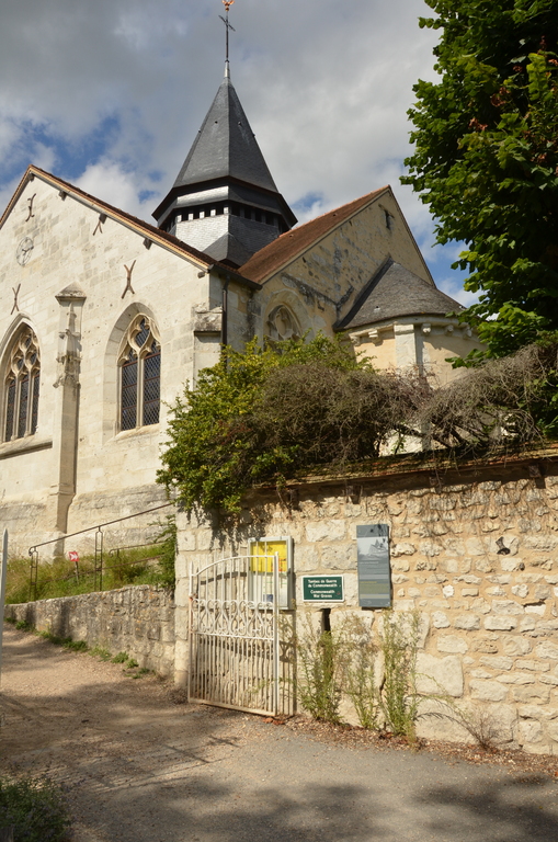
Giverny is a village about 3 kilometres south-east of Vernon. The church is north of the village.
History information
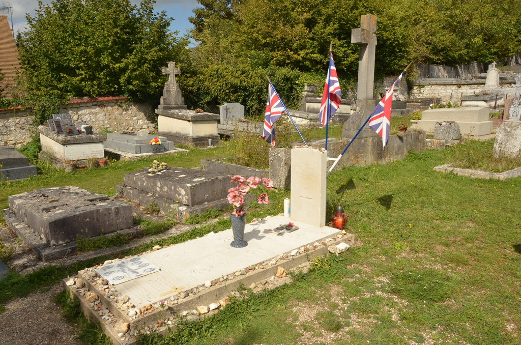
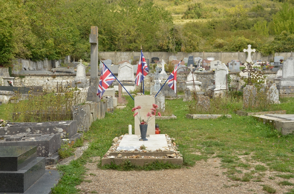
In the north-western part of the churchyard, a few yards from the western wall and 20 yards from the northern wall which divides it from its extension, is the collective grave of seven airmen of the Royal Air Force.