Bloemendaal (St. Adelbertus) Roman Catholic Churchyard
- Country Netherlands
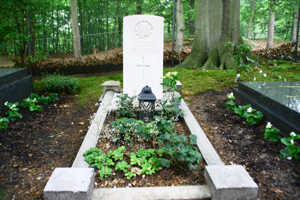
- Total identified casualties 1 Find these casualties
- Region Noord-Holland
- Identified casualties from Second World War
- GPS Coordinates Latitude: 52.41103, Longitude: 4.62258
Location information
Bloemendaal is 5 kilometres north west of Haarlem, and 2 kilometres west of the main Haarlem-Alkmaar road. The cemetery is on the northern outskirts of the town, at the end of the road called Dennenweg. The grave of a Canadian soldier is in the south-western part of the cemetery.