Schoonhoven (Willige-Langerak) Churchyard
- Country Netherlands
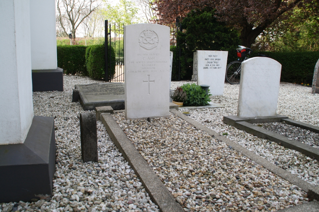
- Total identified casualties 1 Find these casualties
- Region Utrecht
- Identified casualties from Second World War
- GPS Coordinates Latitude: 51.93551, Longitude: 4.88298
Location information
Willige-Langerack is a small village in, and administered by, the commune of Schoonhoven. It is about 12 kilometres east-south-east of Gouda, and 25 kilometres south-west of Utrecht. The nearest railway station is at Gouda. The church and churchyard are at the western edge of the village, about 50 yards north of the dyke road. Near the north-west corner of the church is the grave of a soldier from the United Kingdom.