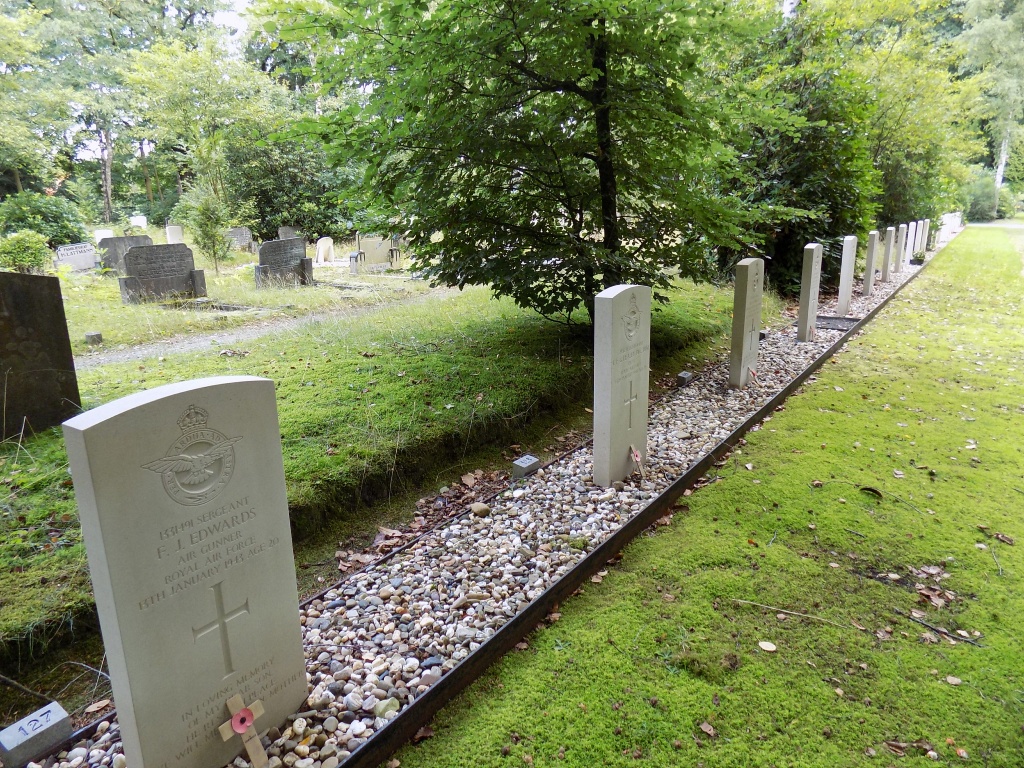
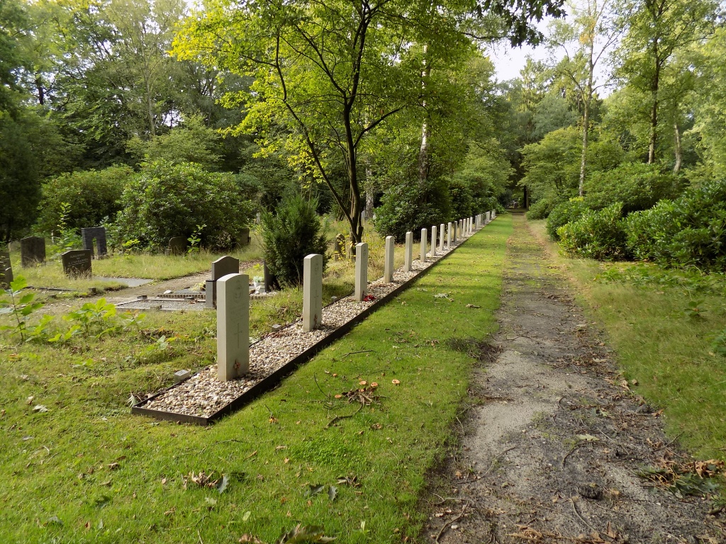
Apeldoorn (Ugchelen-Heidehof) General Cemetery
- Country Netherlands
- Total identified casualties 57 Find these casualties
- Region Gelderland
- Identified casualties from Second World War
- GPS Coordinates Latitude: 52.17779, Longitude: 5.93268


Location information
Cemetery Address: Engelanderholt 95 7339BX Apeldoorn GPS Location: N 52° 10' 042" E 05° 55' 053" The village of Ugchelen is situated to the south of Apeldoorn. From the A1 motorway take exit (afrit) 19 HOENDERLOO / APELDOORN. Follow the signs for N304 direction HOENDERLOO. After approx. 400m turn left onto VAN GOLSTEINLAAN and continue for another 400m, then turn left onto HOENDERLOSEWEG and after approx 500m turn right (signposted BEEKBERGEN / LOENEN) onto the KEIENBERGWEG, continue for approx 600m and the cemetery is on the right, The Commonwealth War Graves plot is to the rear and right of the entrance.
Visiting information
Cemetery opening hours are 1st April to 1st October daily 0800 to 2000hrs 1st October to 1st April daily 0800 to 1700hrs
History information
The Commonwealth plot was created in 1942 for the burial of Allied casualties, and a number of those originally buried there were subsequently moved to other cemeteries. There are now over 50, 1939-1945 war casualties buried in this site.