Horssen Protestant Cemetery
- Country Netherlands
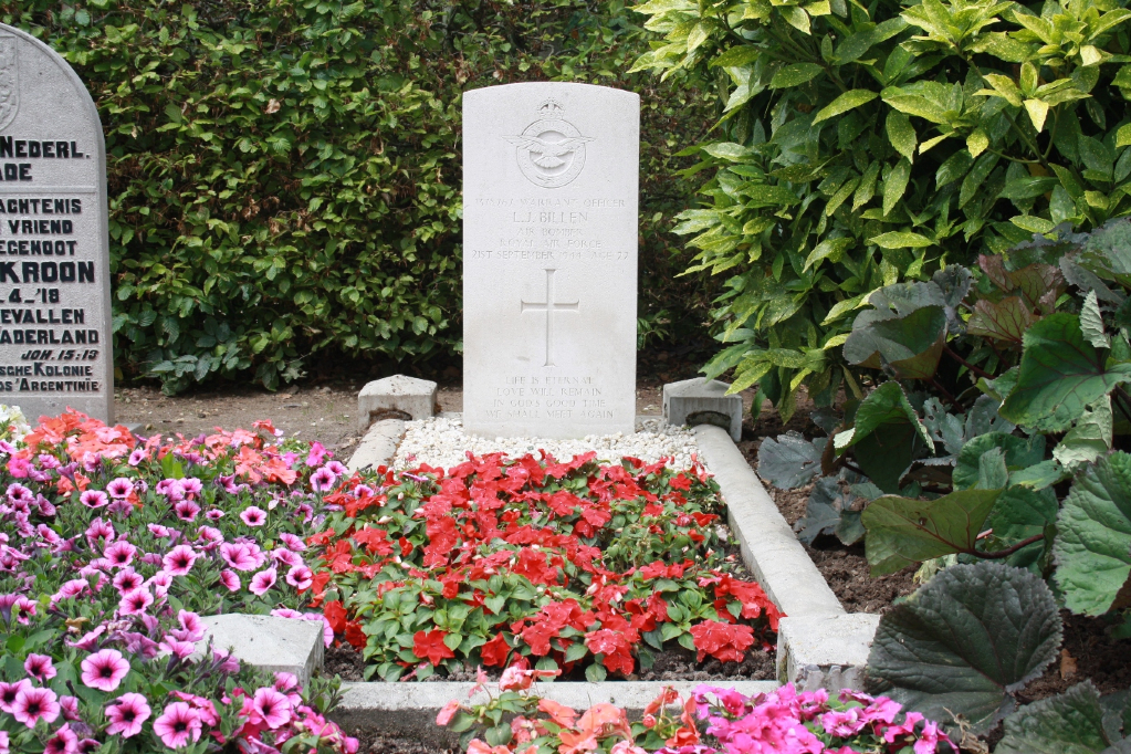
- Total identified casualties 1 Find these casualties
- Region Gelderland
- Identified casualties from Second World War
- GPS Coordinates Latitude: 51.85819, Longitude: 5.60775
Location information
Horssen is a small village lying between the rivers Waal and Maas, 18 kilometres west of Nijmegen. The cemetery, which is very small, is 220 metres west of the Protestant church. The one British grave is to the west of the entrance.