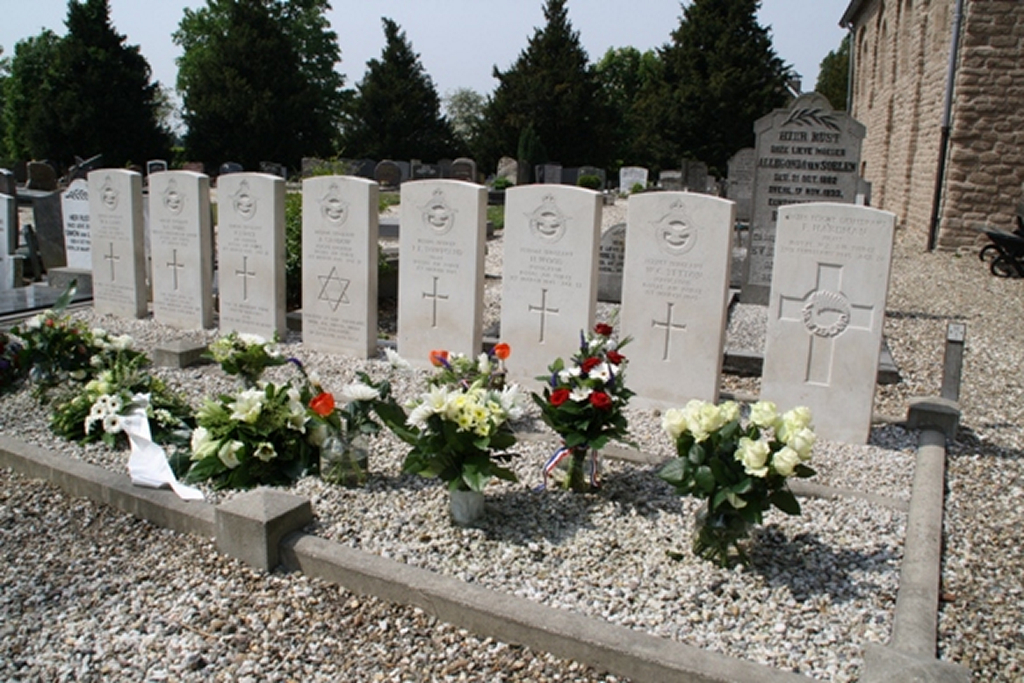
Wadenoijen Protestant Churchyard
- Country Netherlands
- Total identified casualties 8 Find these casualties
- Region Gelderland
- Identified casualties from Second World War
- GPS Coordinates Latitude: 51.87401, Longitude: 5.37909
Location information
Wadenoijen is a village lying 38 kilometres west of Nijmegen and 5 kilometres west of Tiel. The churchyard is some 364 metres east of the village, on the south side of the road to Tiel. The war graves are near the south-eastern corner of the church.