Hemelumer Oldeferd (Molkwerum) Protestant Churchyard
- Country Netherlands
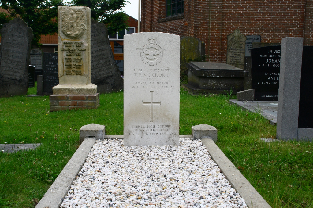
- Total identified casualties 1 Find these casualties
- Region Friesland
- Identified casualties from Second World War
- GPS Coordinates Latitude: 52.90016, Longitude: 5.3992
Location information
Molkwerum, administered by Hemelumer-Oldeferd, is a small village on the south-west Friesland coast. It is 40 kilometres south of Harlingen and 6 kilometres north-east of Staveren. The churchyard is in the centre of the village. In its south-eastern corner is the grave of a British airman.